Volta da Ilha de Itacuruçá
Description
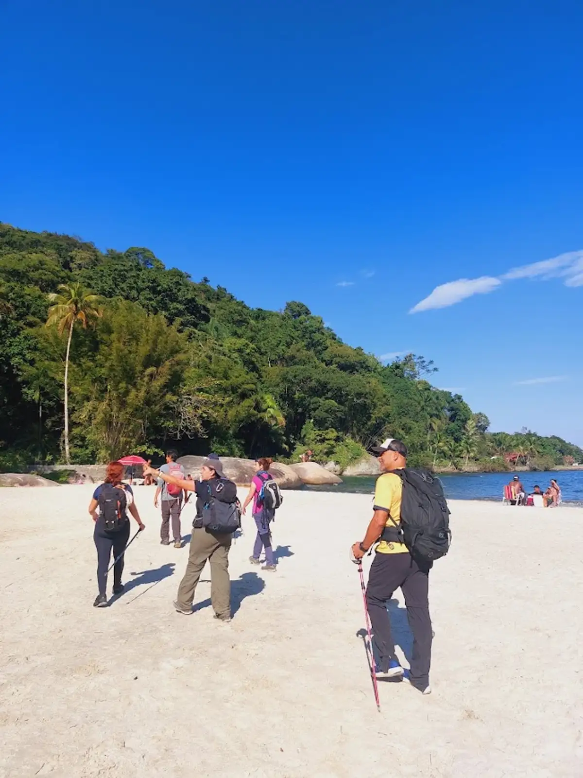
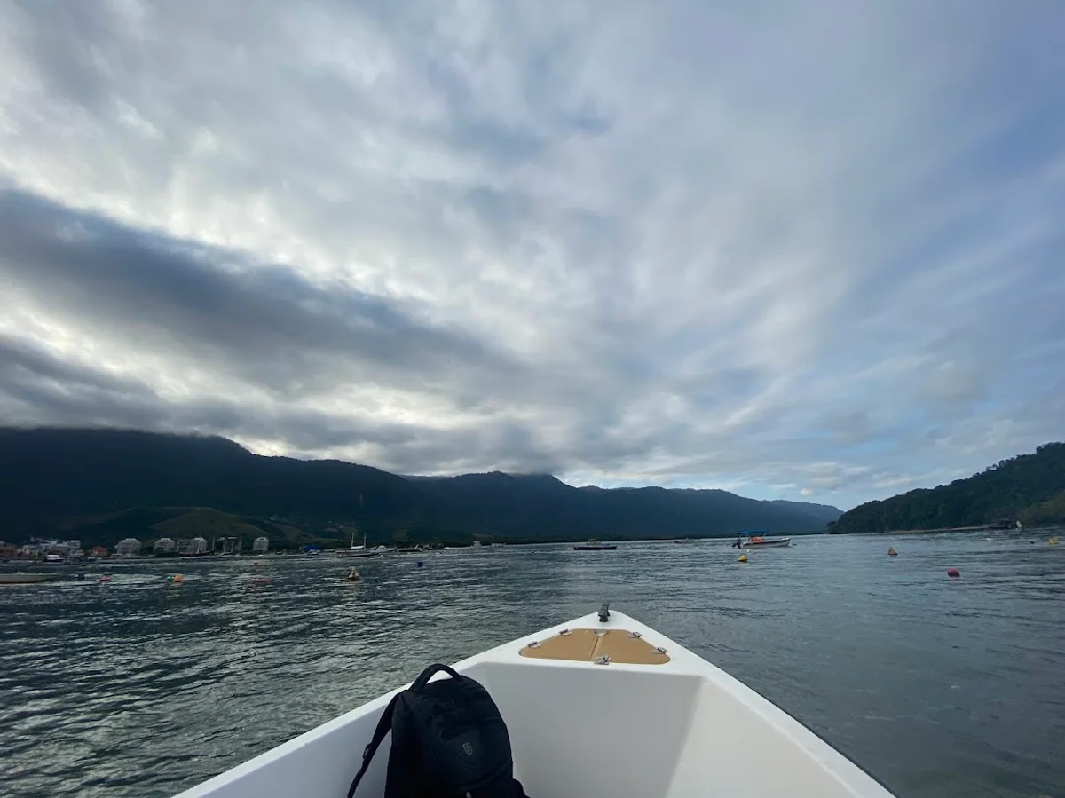
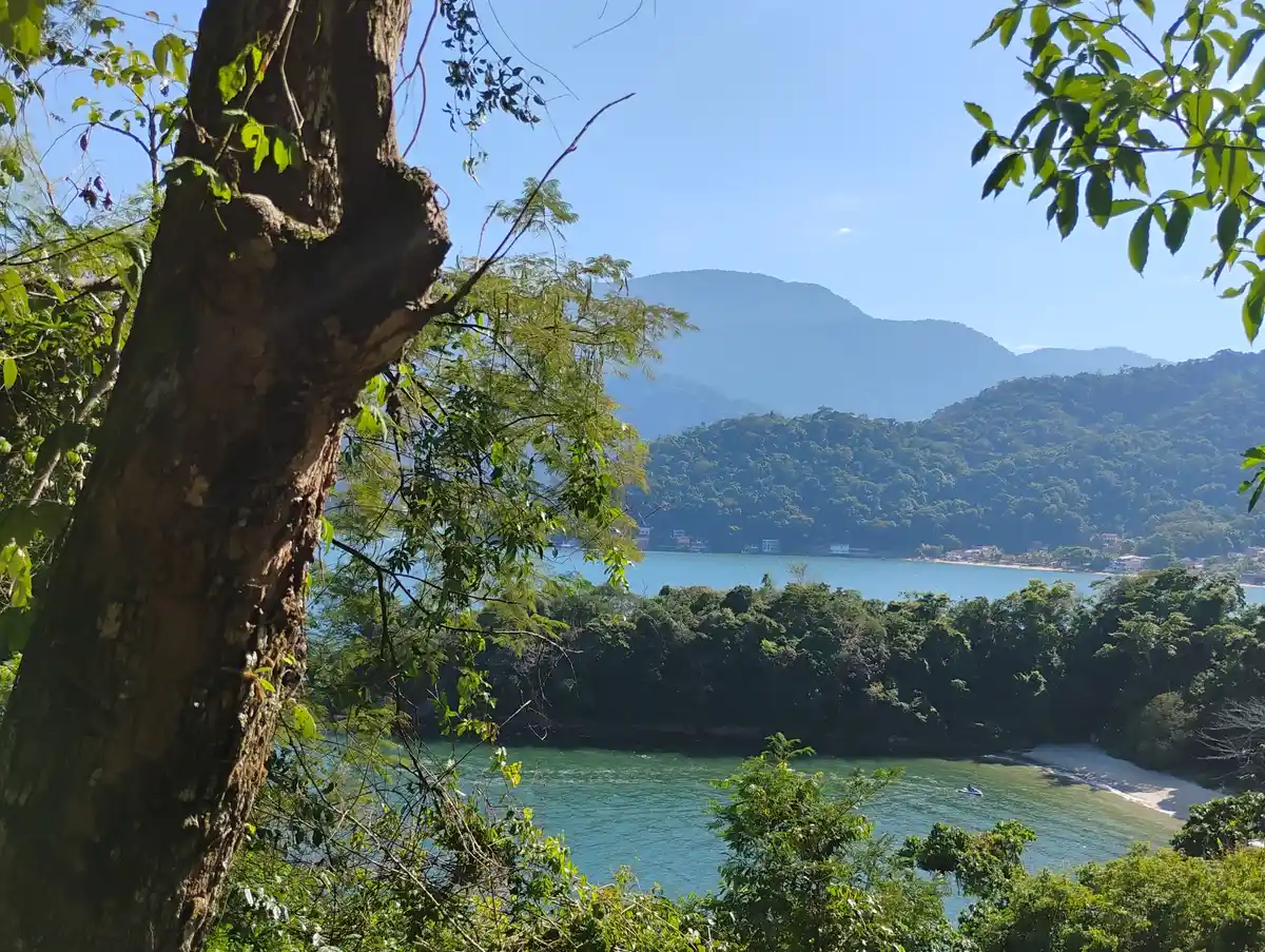
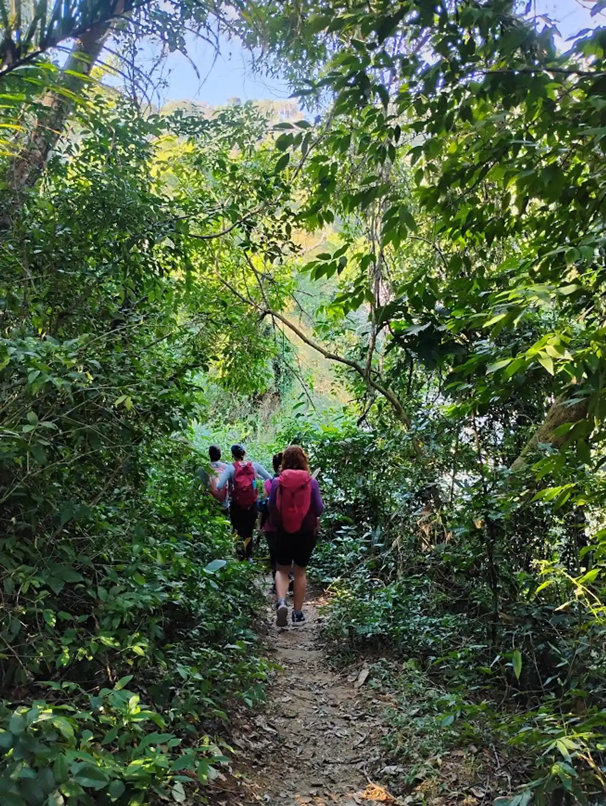
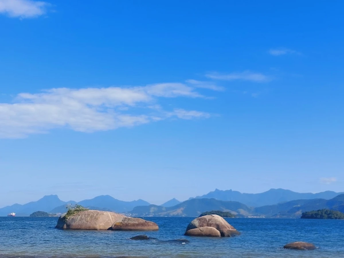
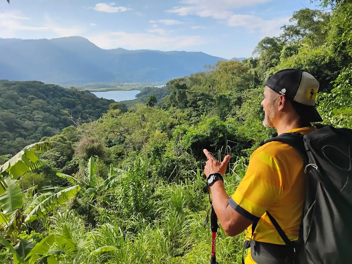
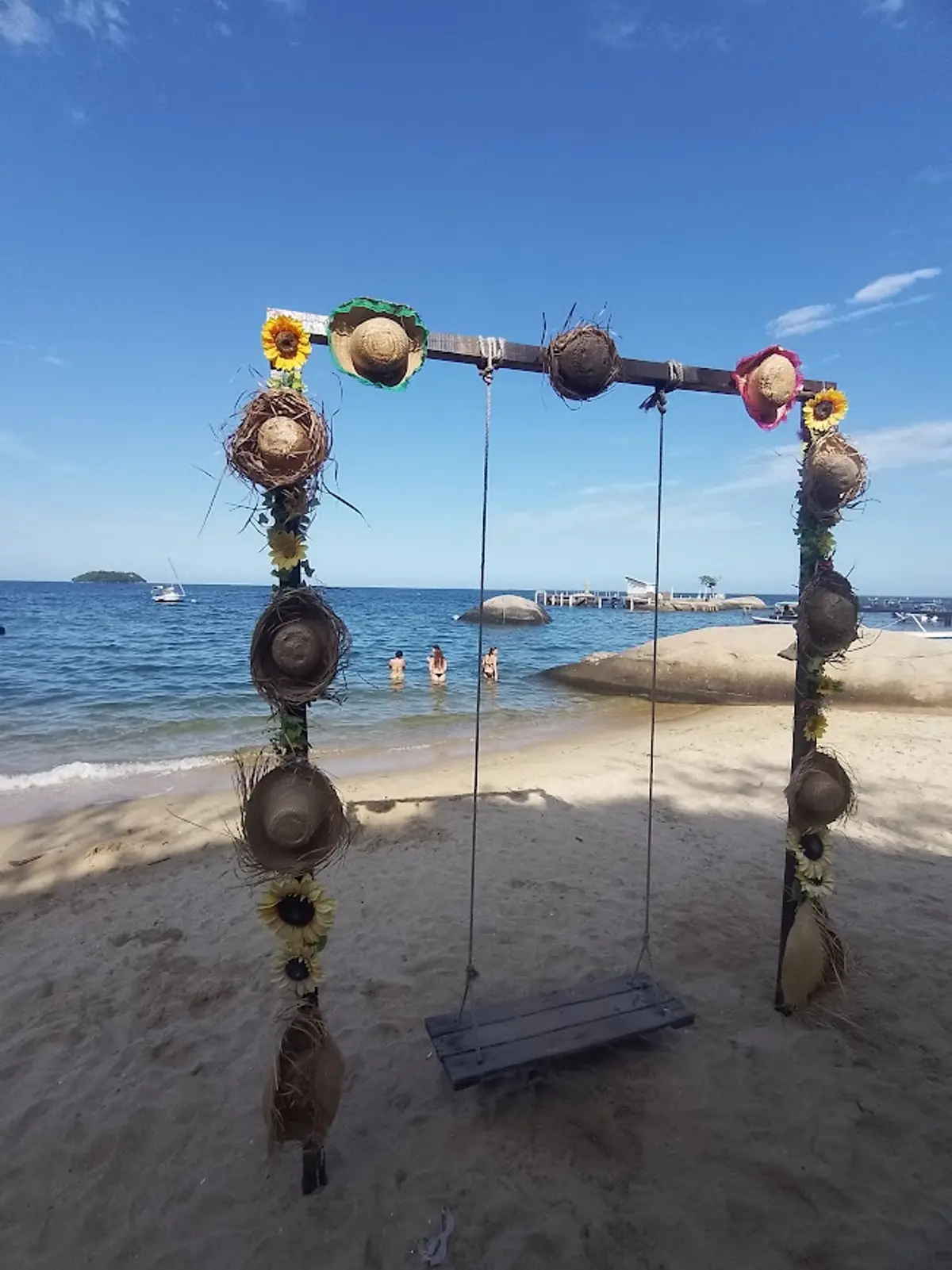
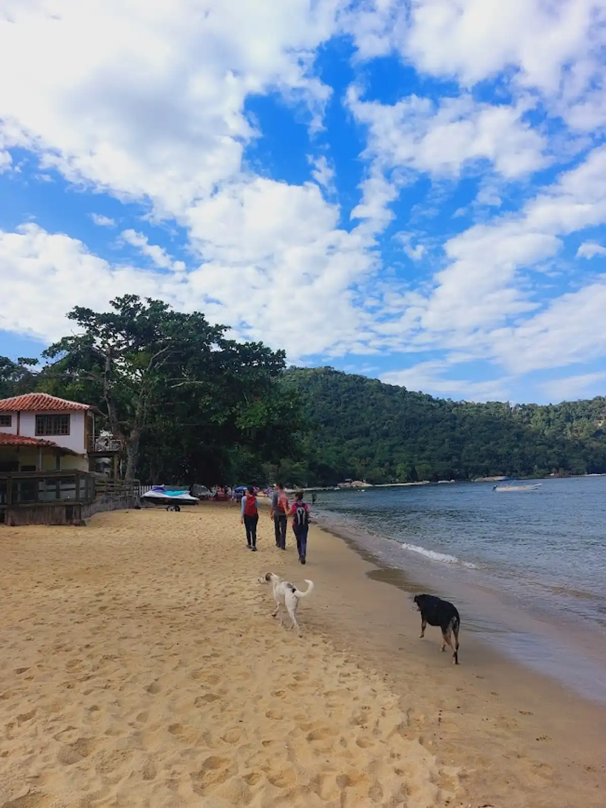
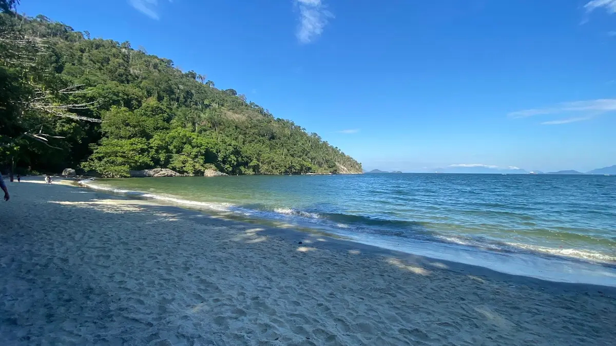
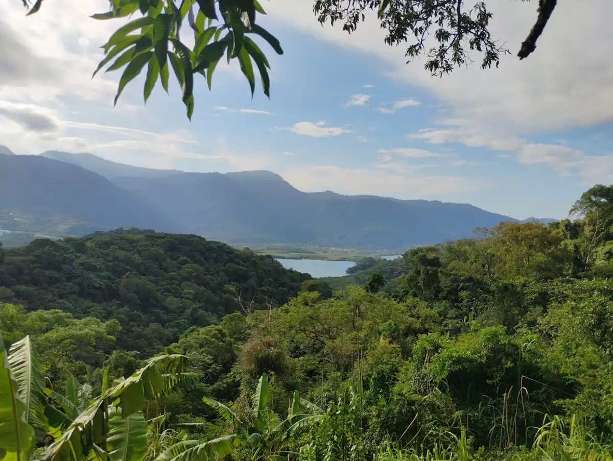
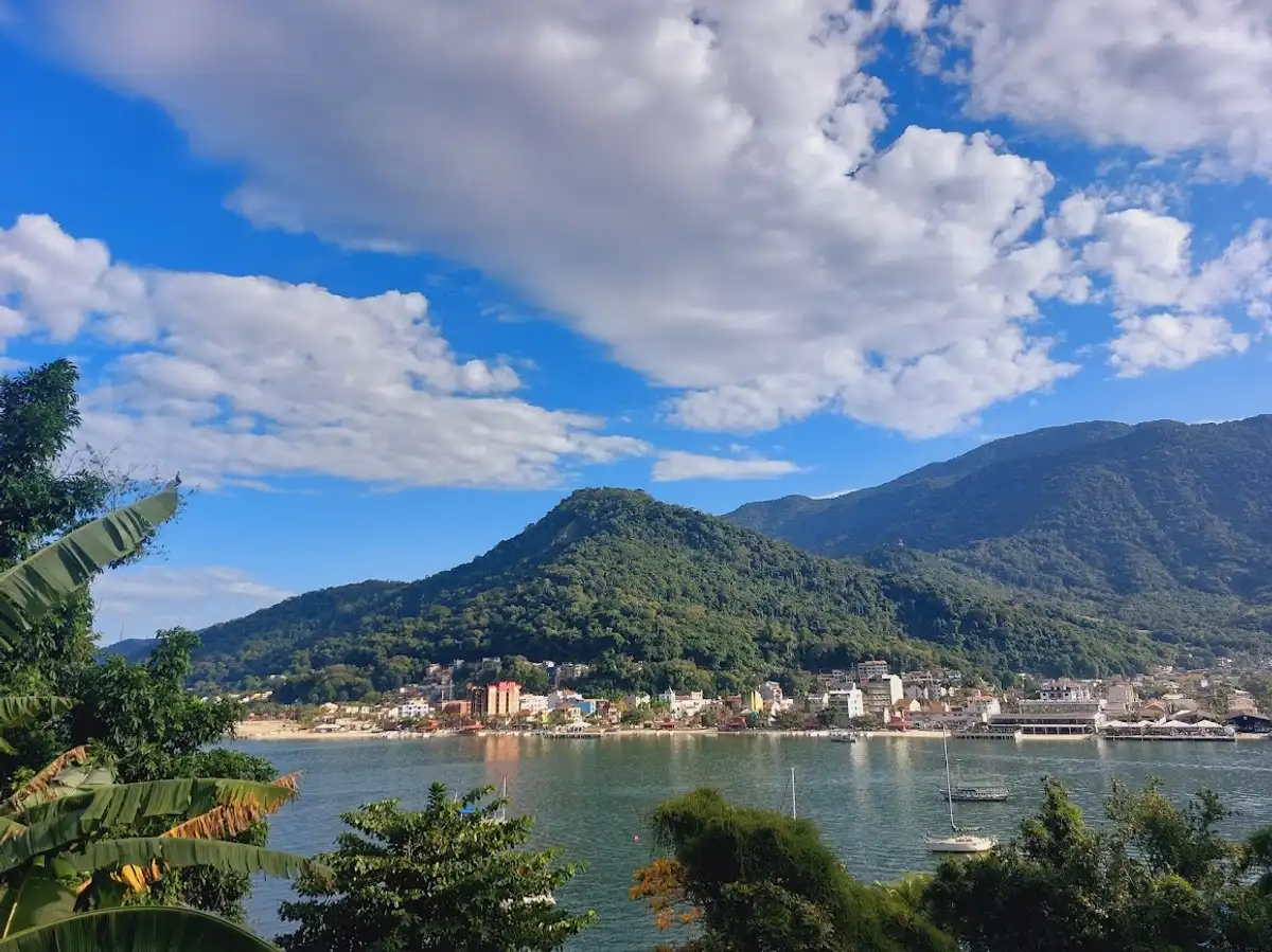
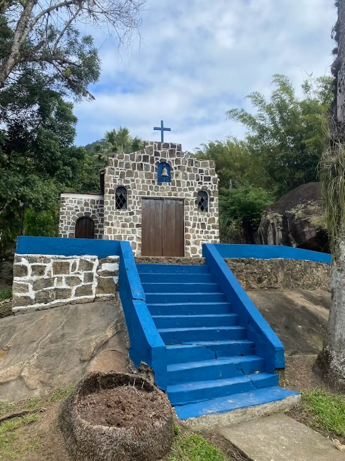
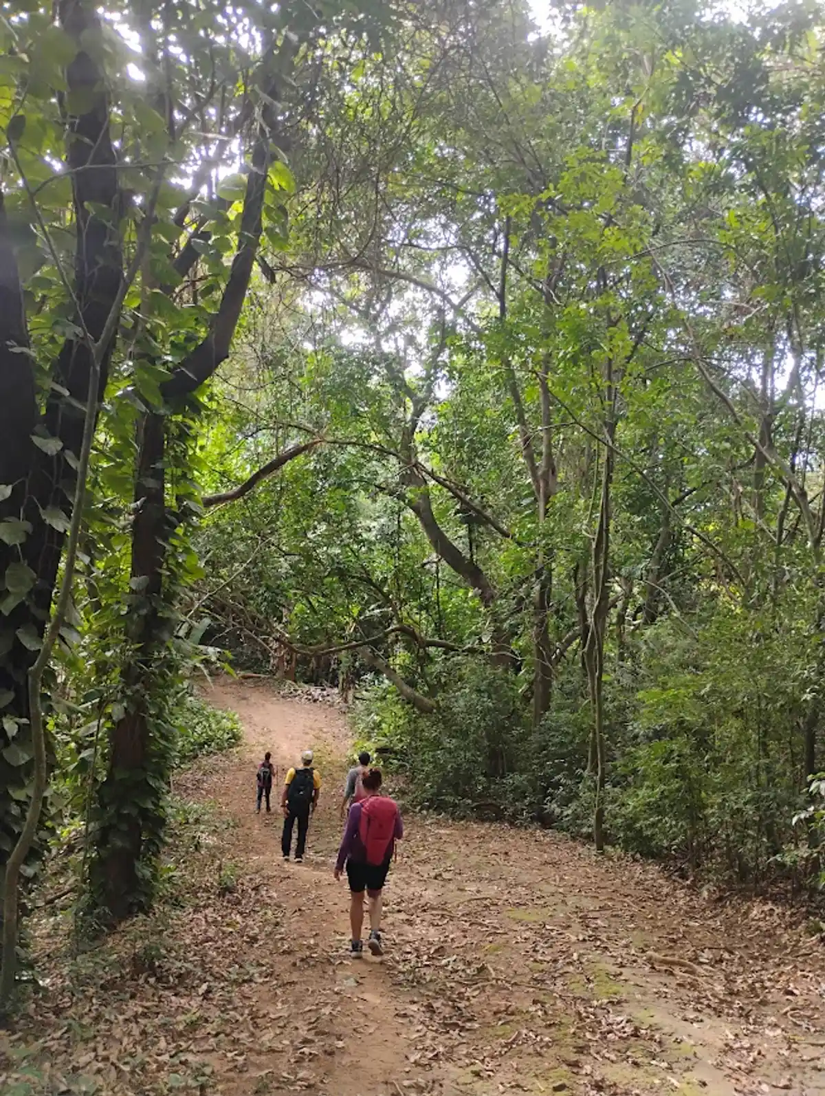
Itacuruçá is a district that is part of the municipality of Mangaratiba, in the Costa Verde region of Rio de Janeiro. It is located between Coroa Grande and Muriqui and is a beautiful small coastal district. From the Itacuruçá pier, you need to take a boat to Itacuruçá Island, docking at Gamboa - about 5 to 8 minutes by boat. Itacuruçá Island holds remnants of the caiçara culture, with preserved fauna and flora and a bucolic, tranquil atmosphere.
Guidelines Extension: 20 Km
 Difficulty Moderate
 Orientation Moderate
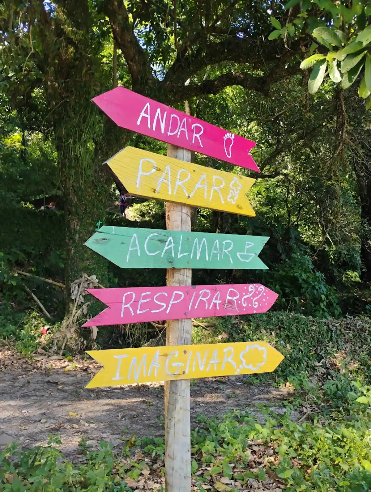
 Signaling Level Partial
 Conservation Good
 Risk Exposure Low
 Sun Exposure Medium
 Hydration Point Available
 Climbing No climbing required
 Minimum Altitude: 0m Maximum Altitude: 566m
 Negative Unevenness: 1m
 Positive Unevenness: 560m
Tips
Itacuruçá is a very small place, so parking spaces are scarce. Avoid parking in no-parking areas so your car doesn't get towed; try to arrive very early to do the hike. You can arrange in advance for a boatman to pick you up at a particular beach on the island other than the main one, if you don't do the complete Volta (island loop), and enjoy the beaches more. There are places to have lunch on most of the beaches. There are always boats at the main piers for the Itacuruçá-island-Itacuruçá crossing.
Map
Guidelines
Extension: 20 KmDifficulty: ModerateOrientation: ModerateSignaling Level: PartialMinimum Altitude: 0m Maximum Altitude: 566m Negative Unevenness: 1m Positive Unevenness: 560m