Trilha Provetá X Aventureiro
Description
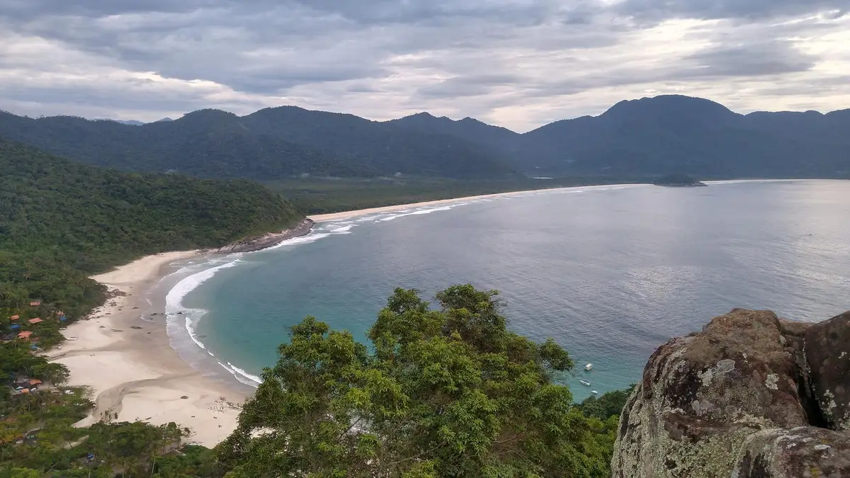
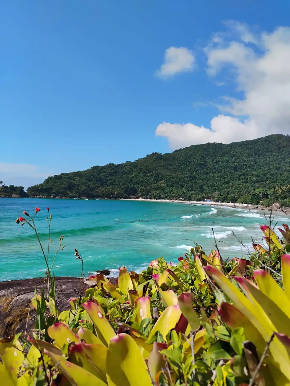
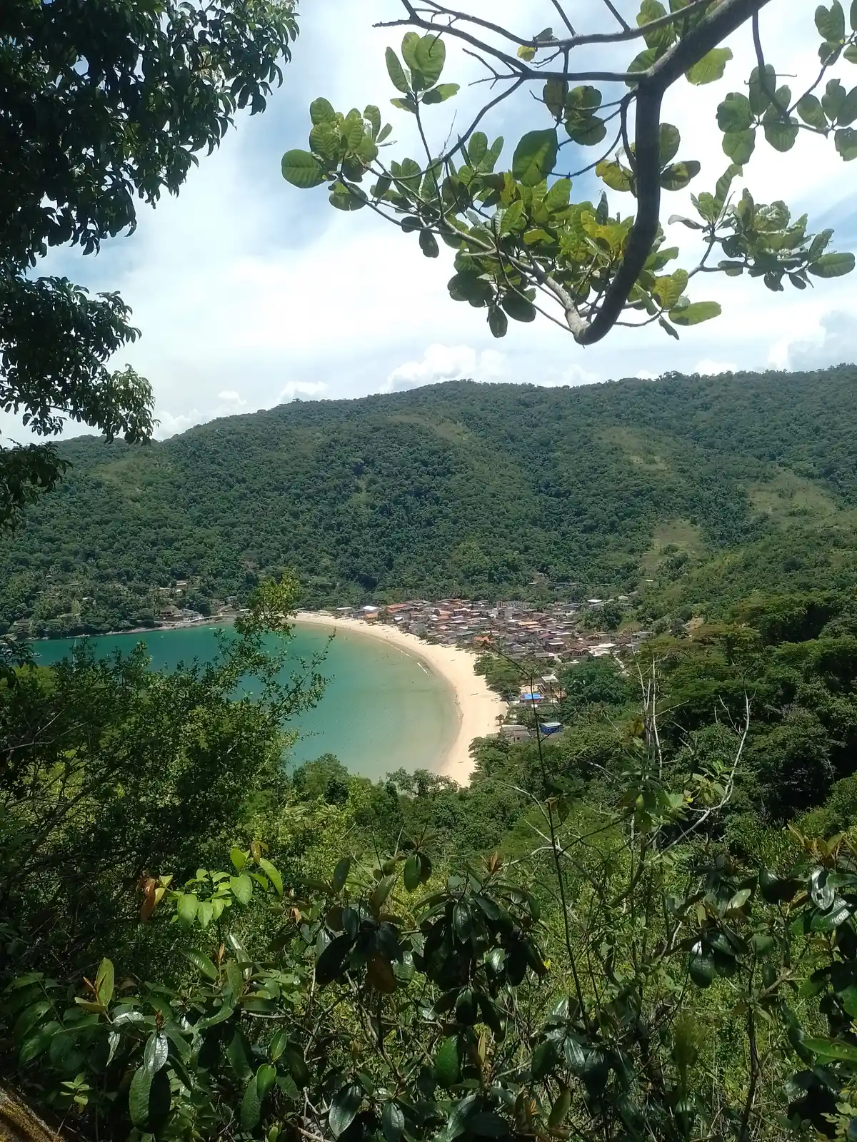
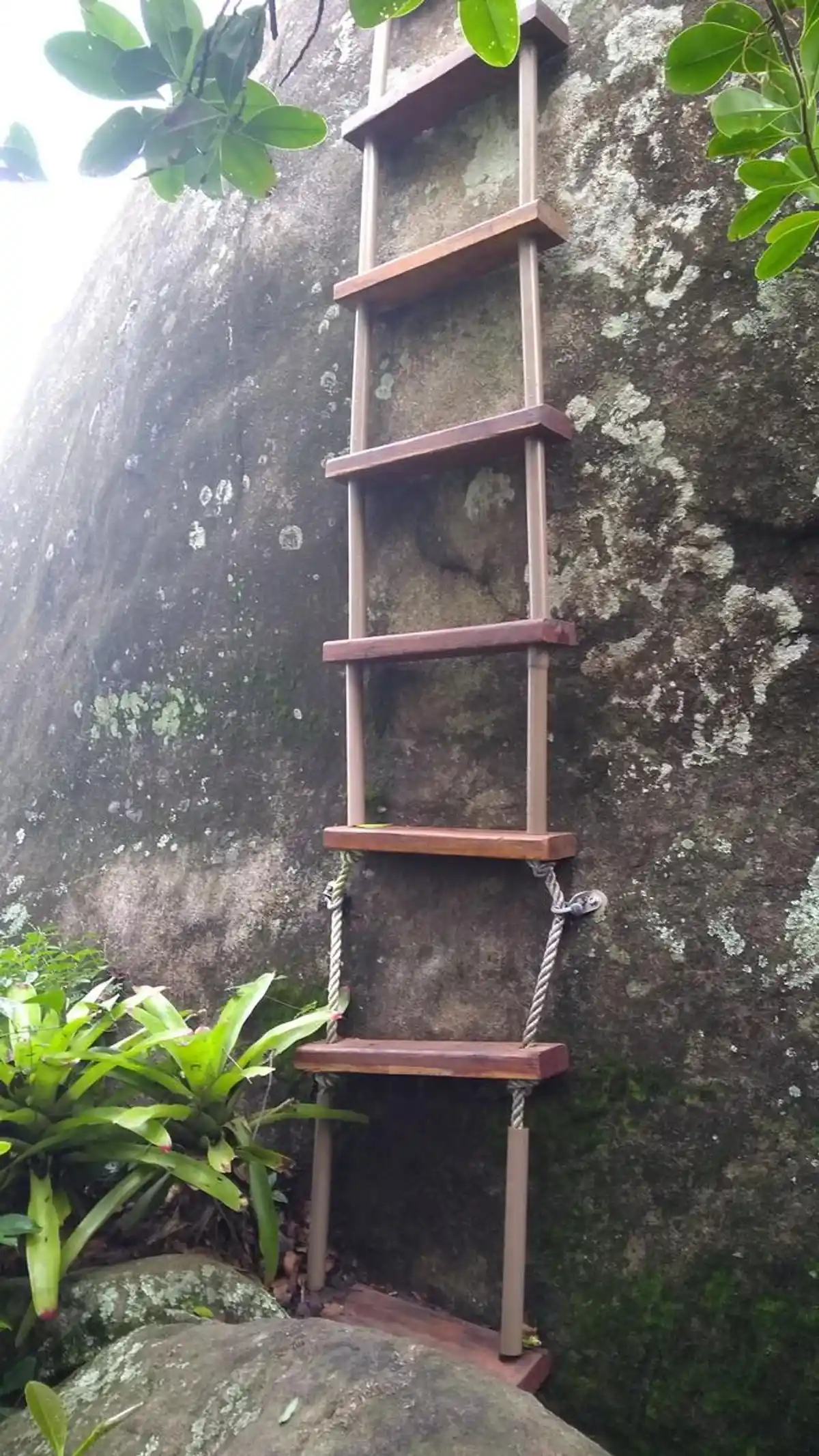
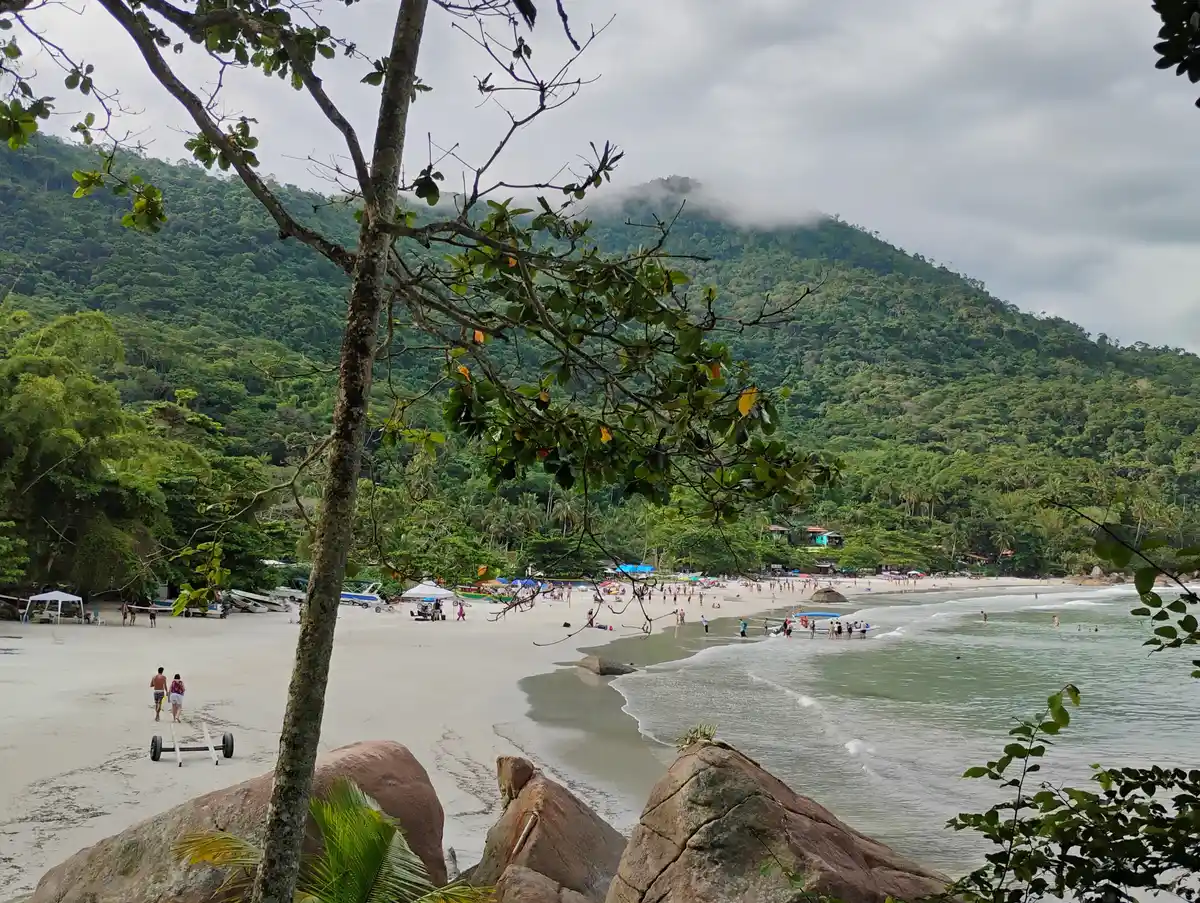
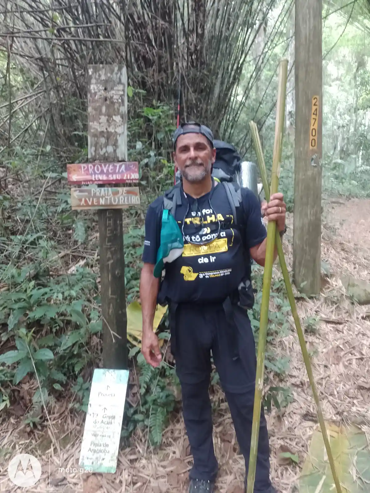
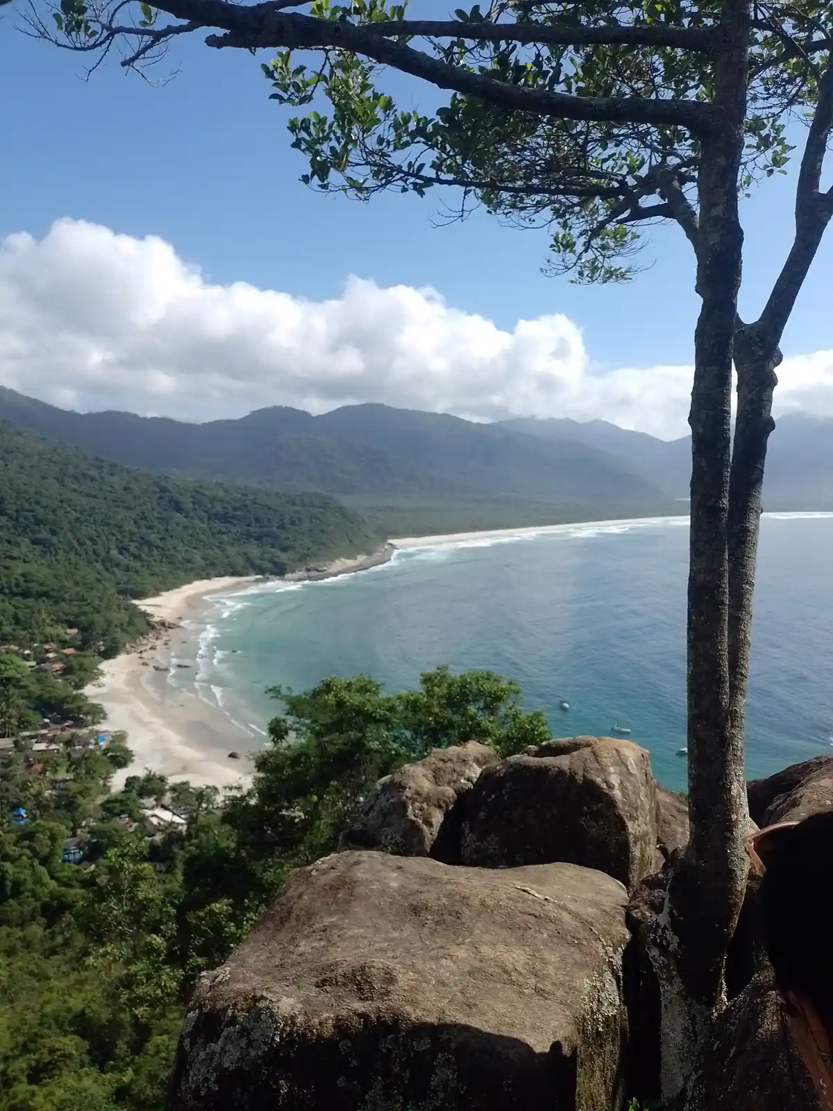
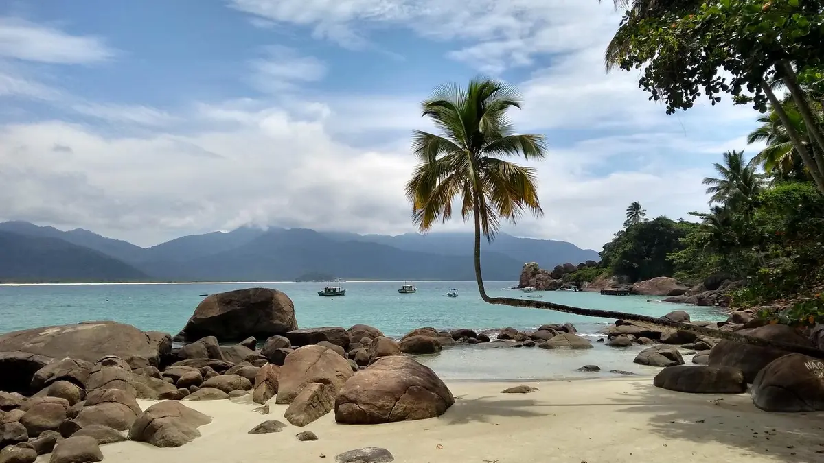
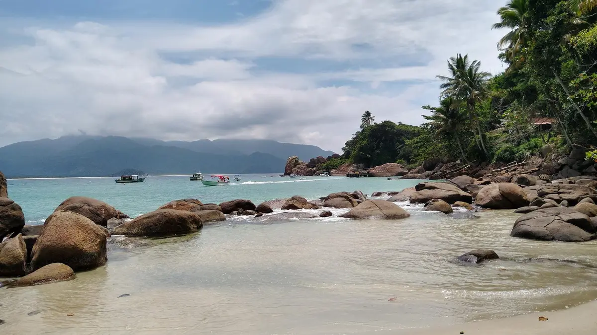
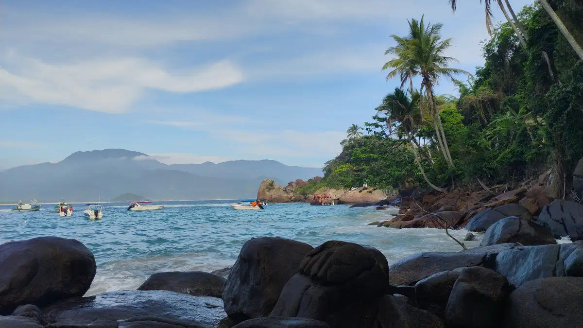
The trail from Provetá to Aventureiro Beach, the T10 of the long-distance trail around Ilha Grande, is famous for being one of the most physically demanding sections of the entire Ilha Grande. Despite its short distance, it crosses a steep mountain that separates the civilization of Provetá from the paradisiacal isolation of Vila do Aventureiro, a caiçara community worth visiting!
Guidelines Extension: 3.7 Km
 Difficulty Hard
 Orientation Moderate
 Signaling Level Partial
 Conservation Good
 Risk Exposure Medium
 Sun Exposure Medium
 Hydration Point Available
 Climbing No climbing required
 Minimum Altitude: 2m Maximum Altitude: 338m
 Negative Unevenness: 448m
 Positive Unevenness: 492m
Tips
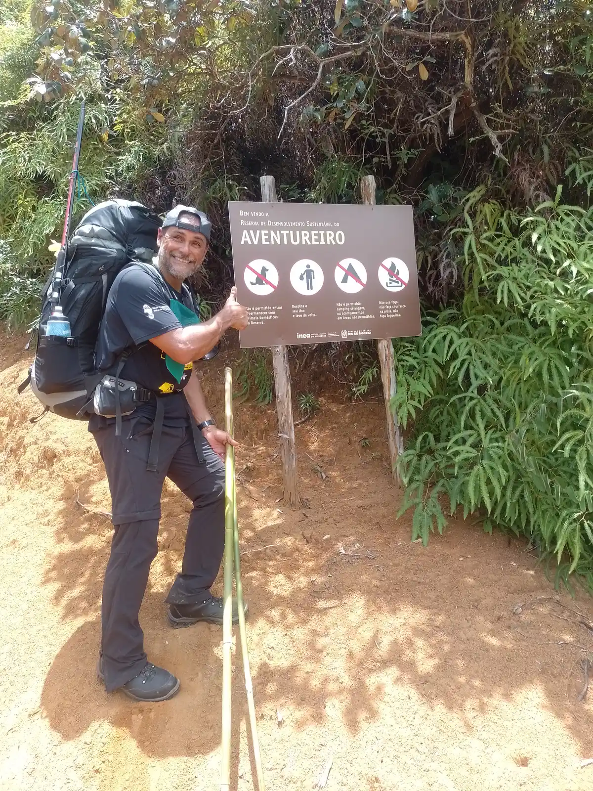
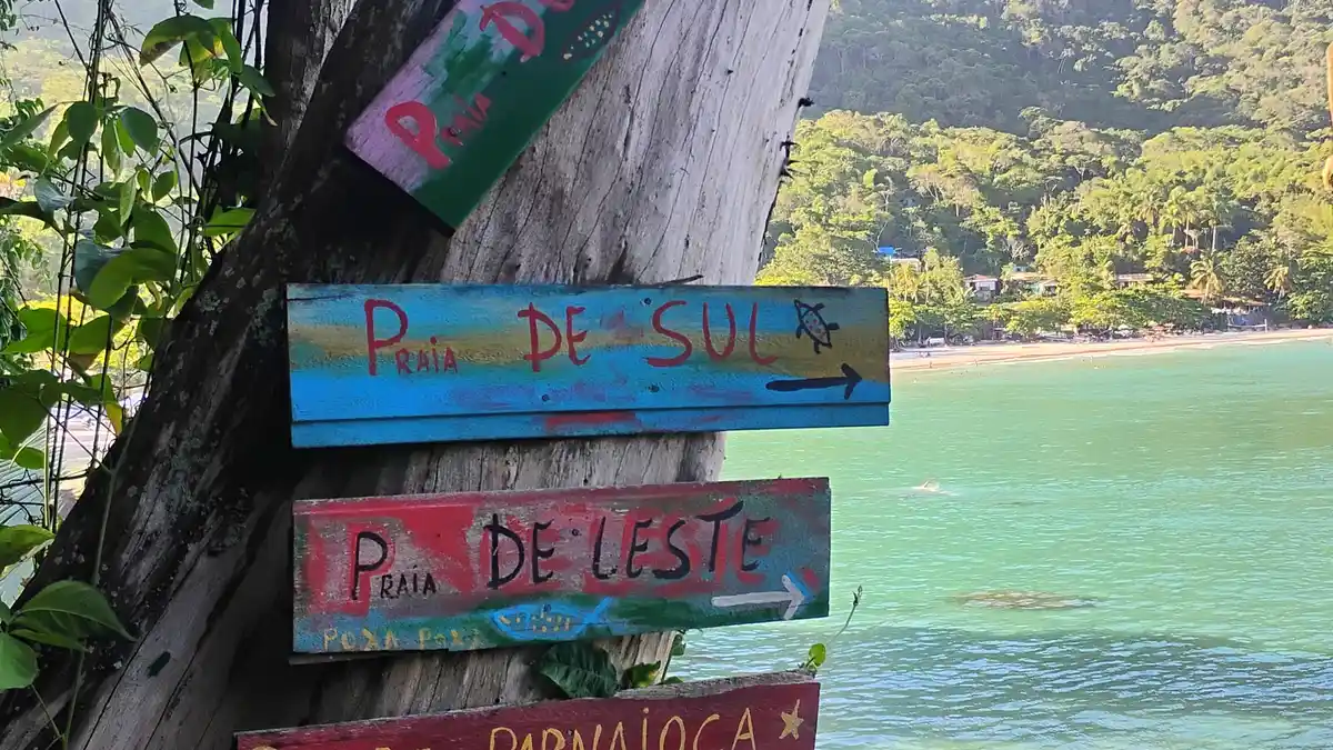
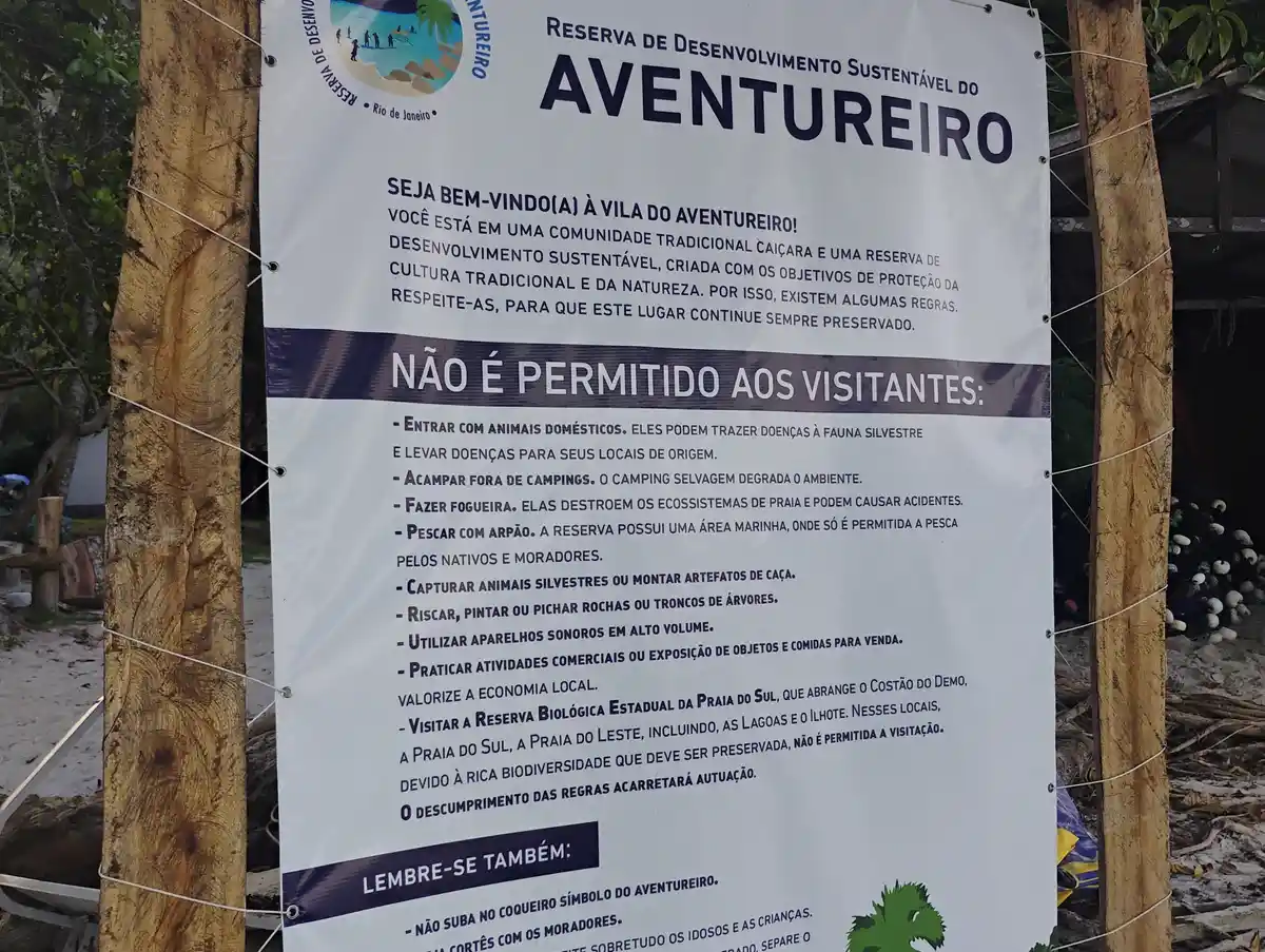
Aventureiro Beach is located in a Sustainable Development Reserve (RDS) and has a limit on the number of people who can stay overnight in the village. There is a small office of Inea RJ, with active management, that controls the visitation capacity. If the capacity is full, you can spend the day but cannot stay overnight at Aventureiro. Note: There is no electricity in the Aventureiro Village. Local energy is provided by generators and solar panels. Note: Passage through the South and East Beaches is prohibited as they are an Integral Protection Biological Reserve. To continue from Aventureiro to Parnaioca for the continuation of the Volta da Ilha Grande, it is necessary to cross by boat. In the Aventureiro Village, this transportation is offered by the residents.
Map
Guidelines
Extension: 3.7 KmDifficulty: HardOrientation: ModerateSignaling Level: PartialMinimum Altitude: 2m Maximum Altitude: 338m Negative Unevenness: 448m Positive Unevenness: 492m