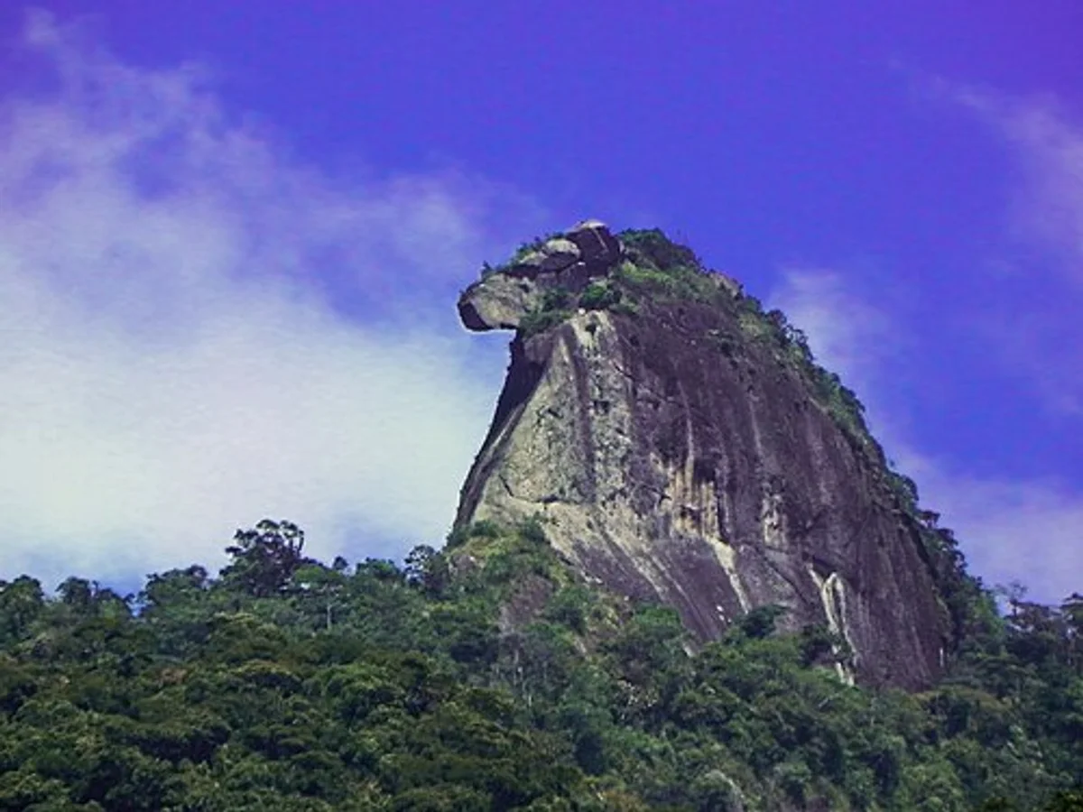
Trilha Pico do Papagaio
Description
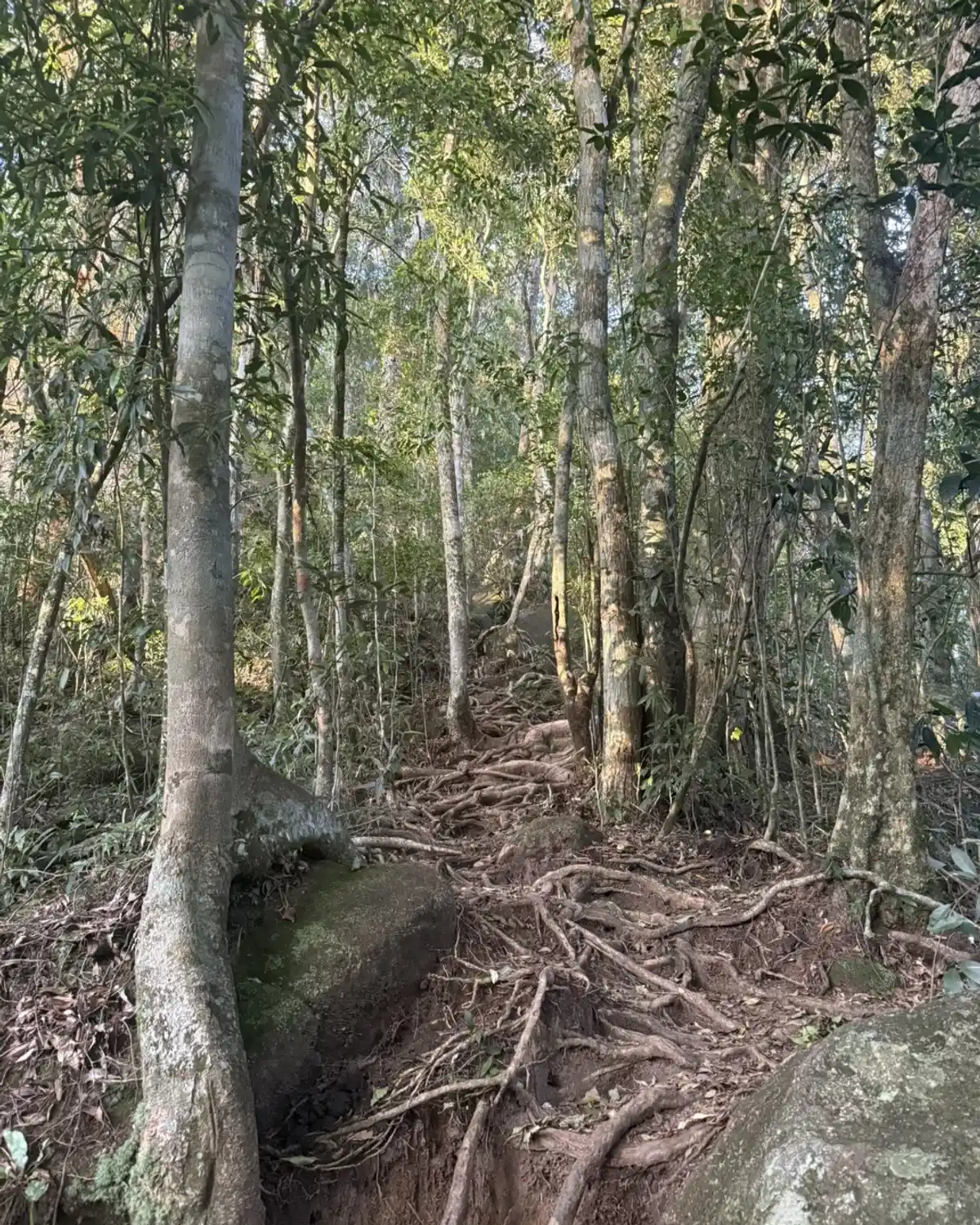
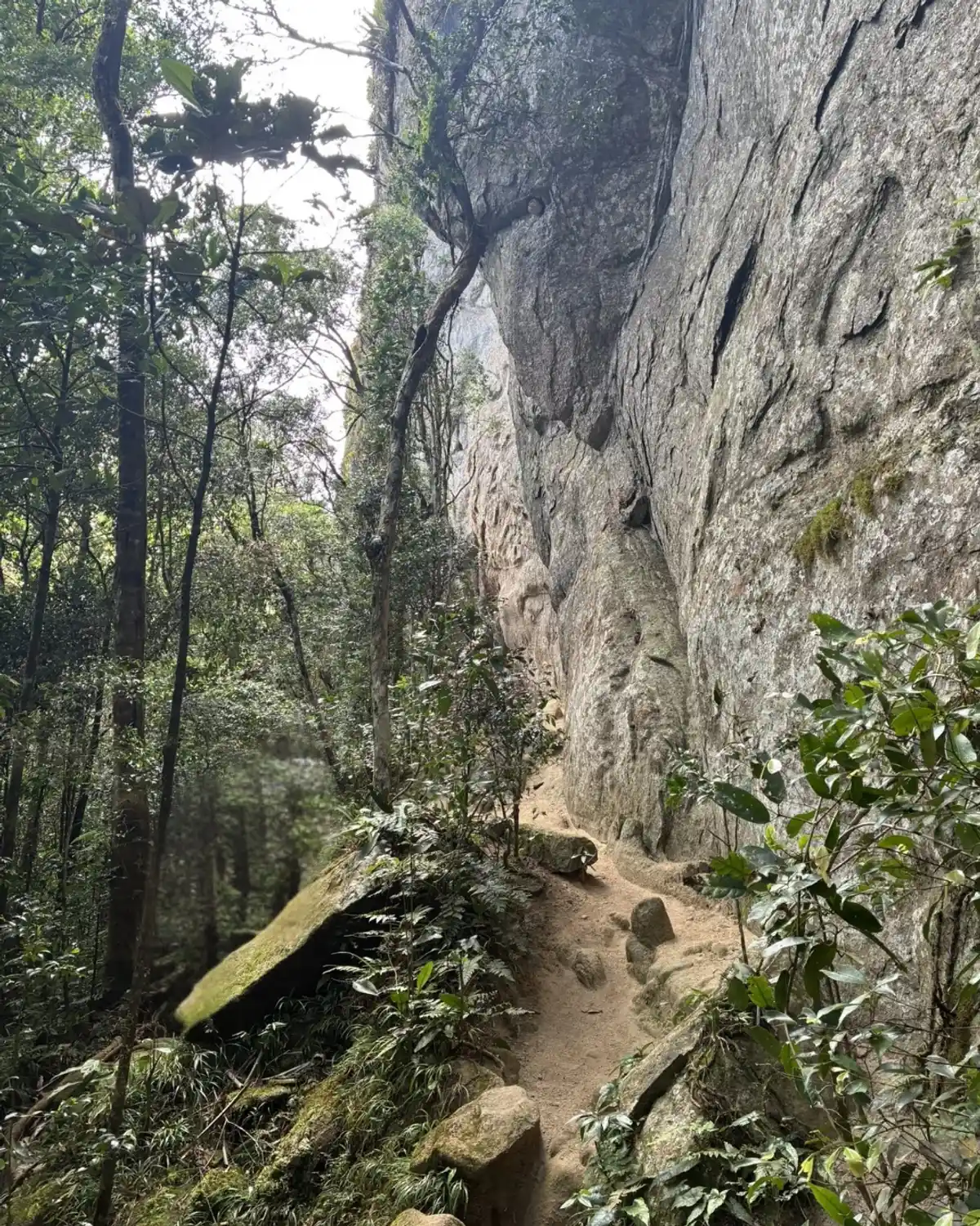
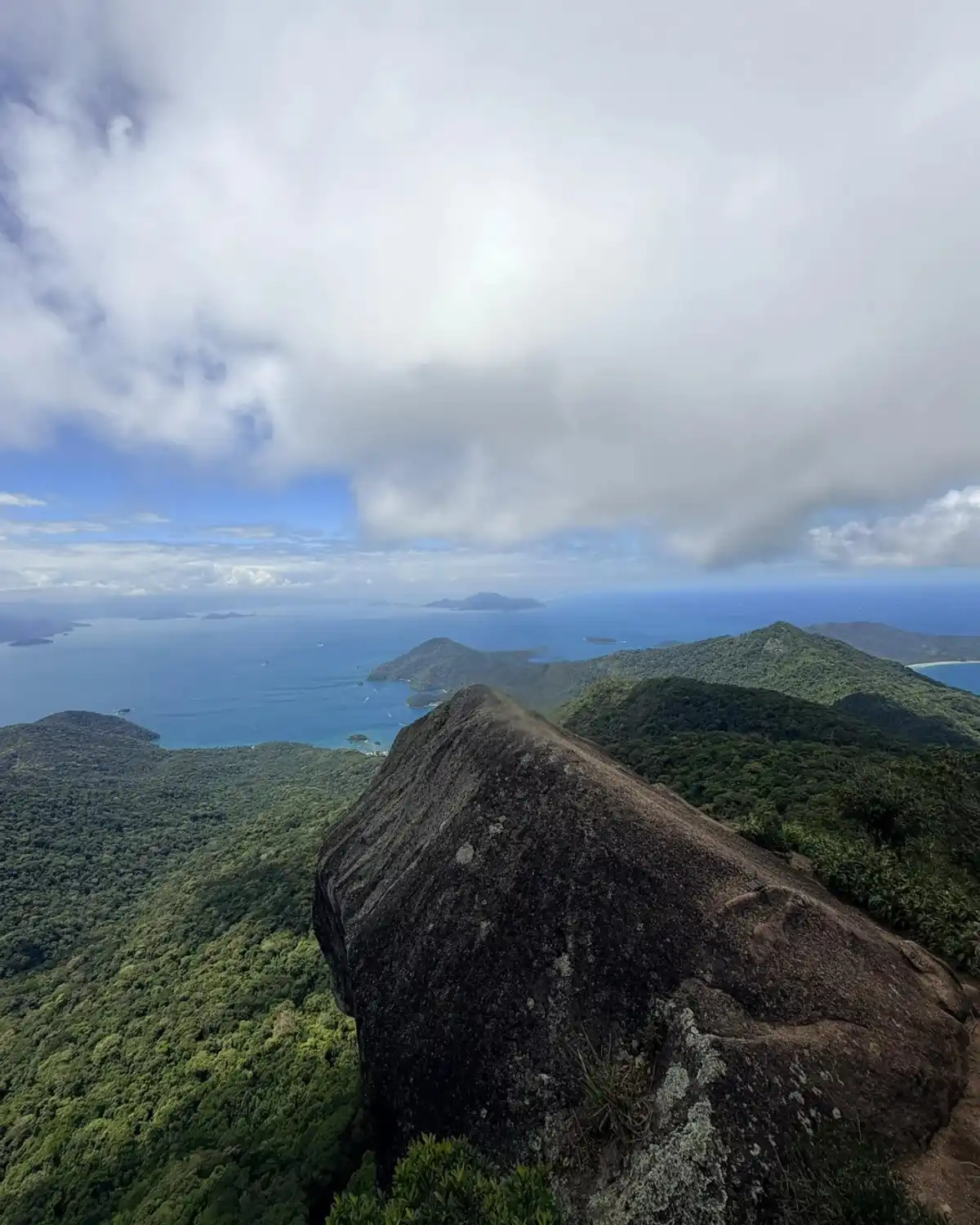
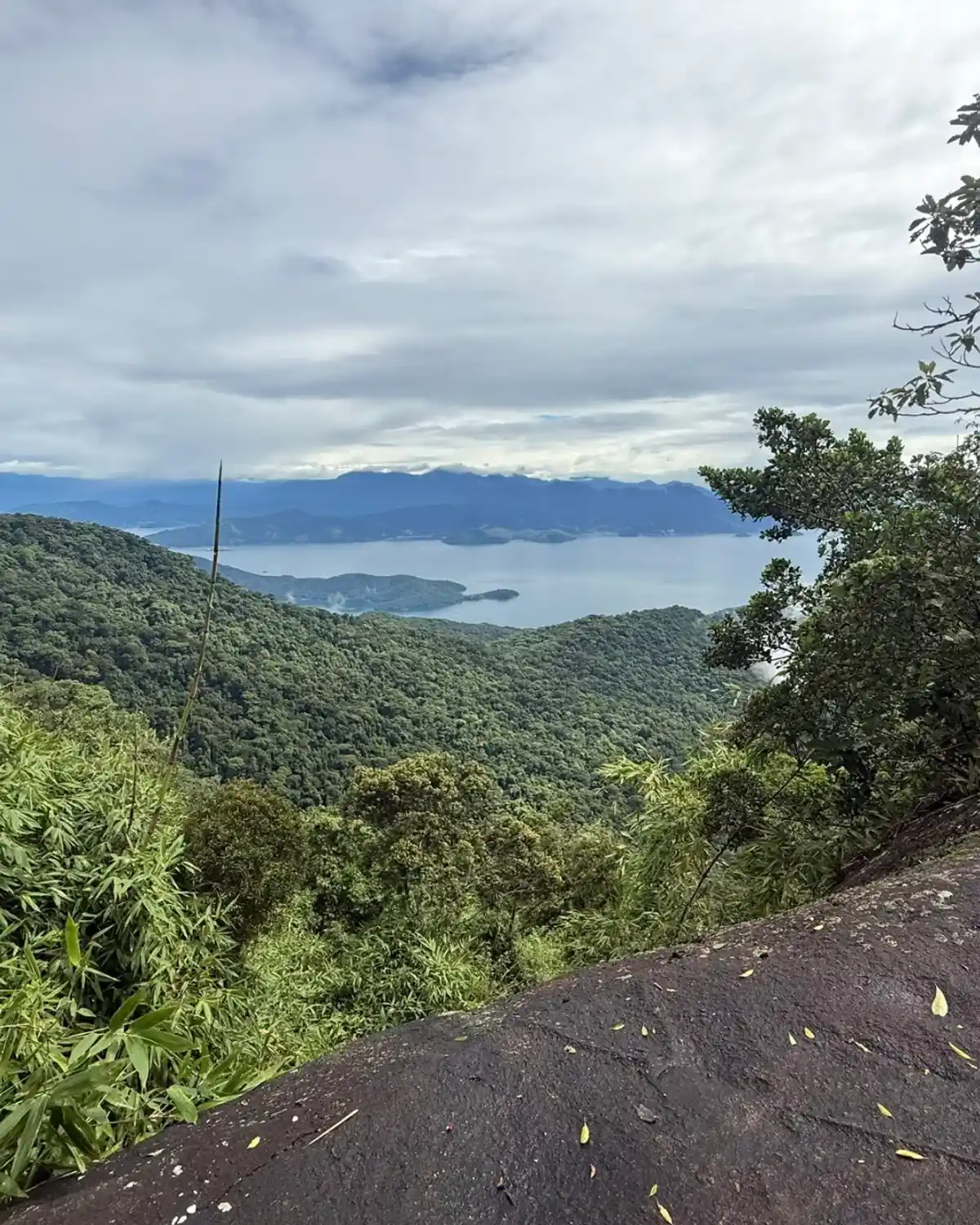
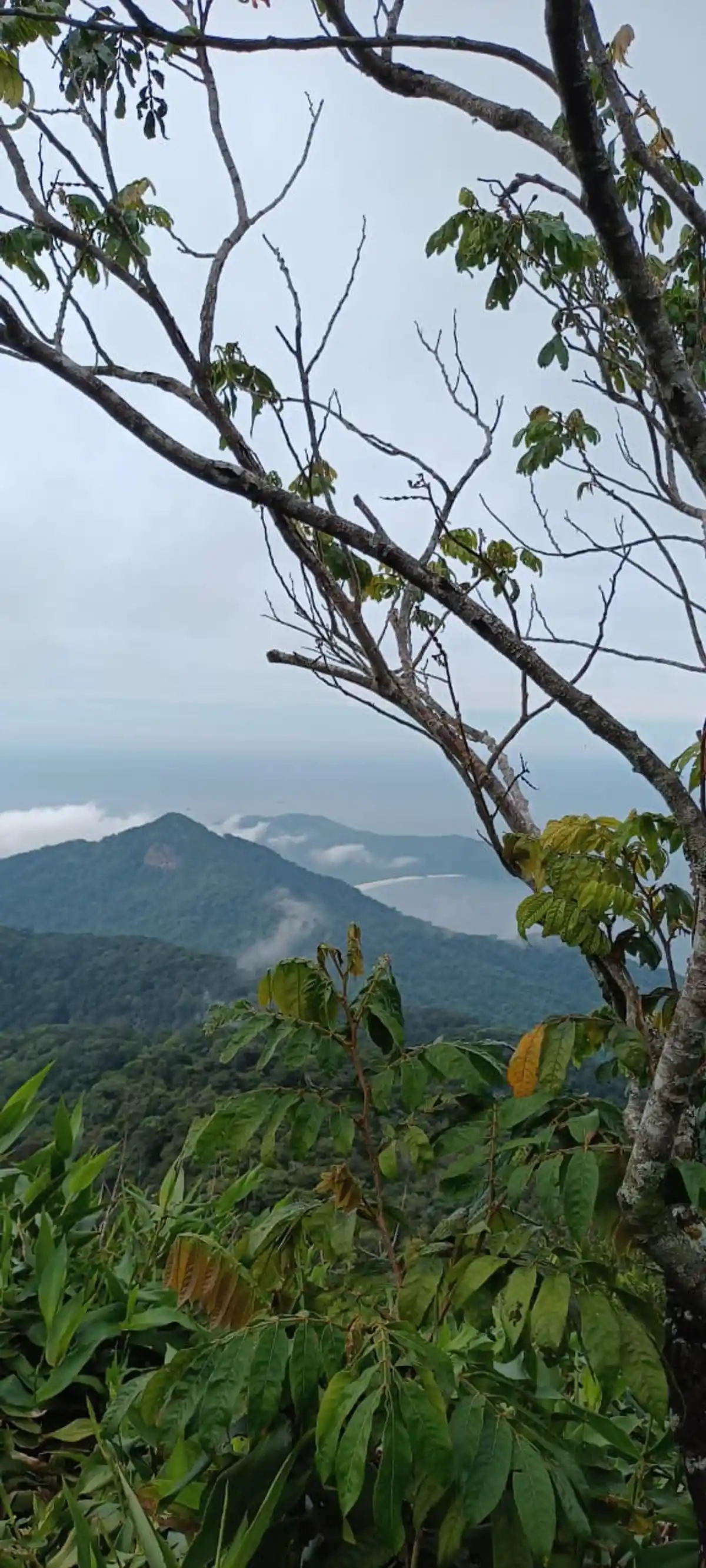
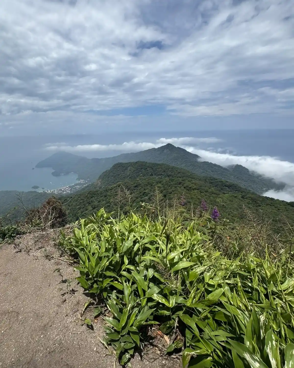
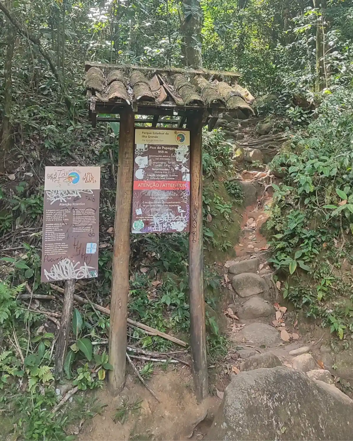
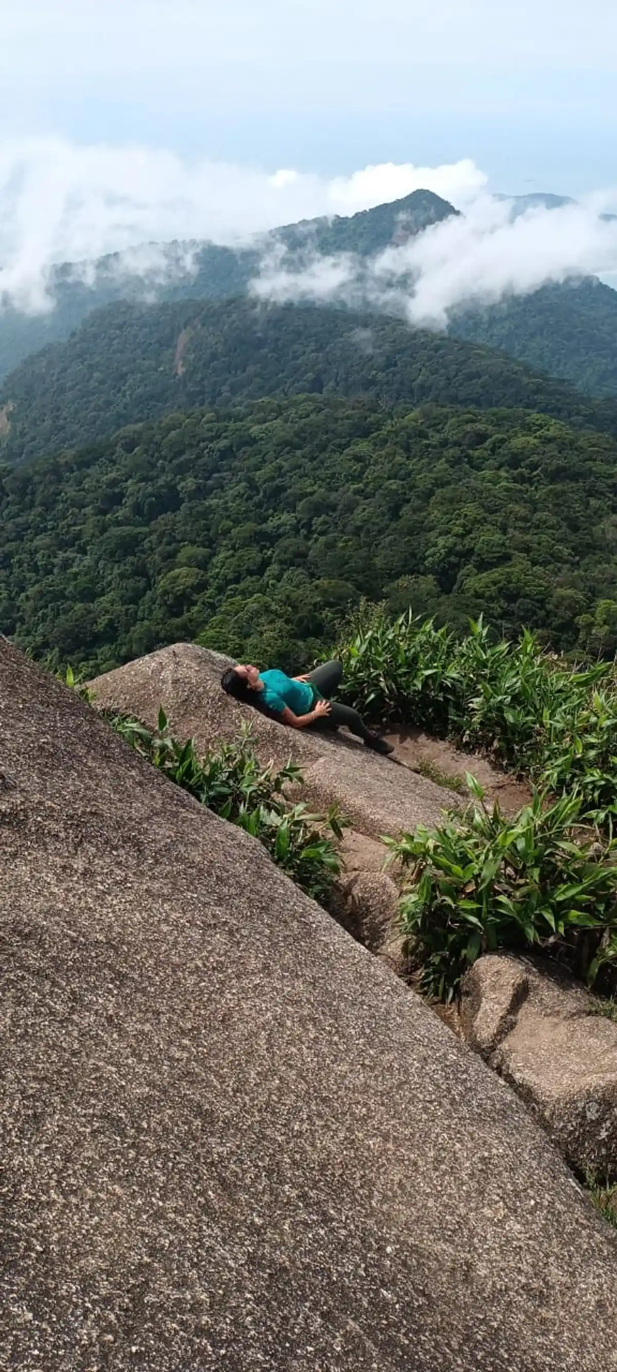
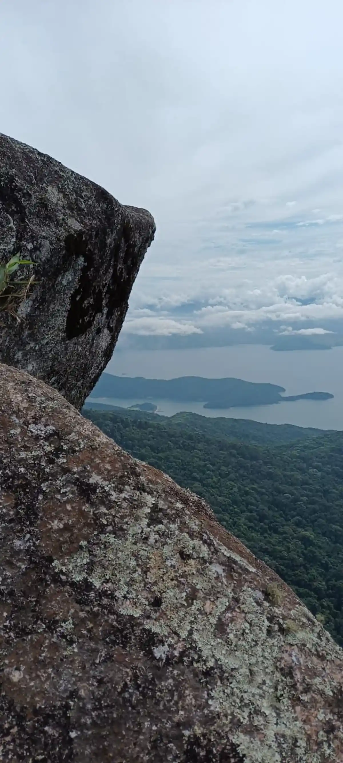
The trail to Pico do Papagaio, on Ilha Grande, corresponds to Section 13 of the Official Trails Guide (T13) starting from Vila do Abraão. With an elevation gain of nearly 1,000 meters, the peak stands at 982 meters and the trail passes through areas of Atlantic Forest, offering one of the most panoramic views of Ilha Grande, including Vila do Abraão, Palmas Cove, and on clear days, even the mainland.
Guidelines Extension: 11 Km
 Difficulty Hard
 Orientation Moderate
 Signaling Level Complete
 Conservation Good
 Risk Exposure Medium
 Sun Exposure Medium
 Hydration Point Available
 Climbing There is
 Minimum Altitude: 2m Maximum Altitude: 982m
 Negative Unevenness: 958m
 Positive Unevenness: 1011m
Tips
The trail is about 5 to 6 km one way. On average, it takes 4 to 5 hours of hiking just to ascend. One of the most famous experiences is to hike up early in the morning (around 2:00 AM) to see the sunrise from the top. If you do this, headlamps are mandatory, and it is recommended to go with a guide or someone who knows the way. Note: Do not ascend if the weather is overcast or if heavy rain is forecasted. Besides the risk of lightning, you will be "inside the cloud" and will not see anything from the top, and it is risky to be at the summit - which is rocky and small.
Map
Guidelines
Extension: 11 KmDifficulty: HardOrientation: ModerateSignaling Level: CompleteMinimum Altitude: 2m Maximum Altitude: 982m Negative Unevenness: 958m Positive Unevenness: 1011m