Trilha Pico do Boné
Description
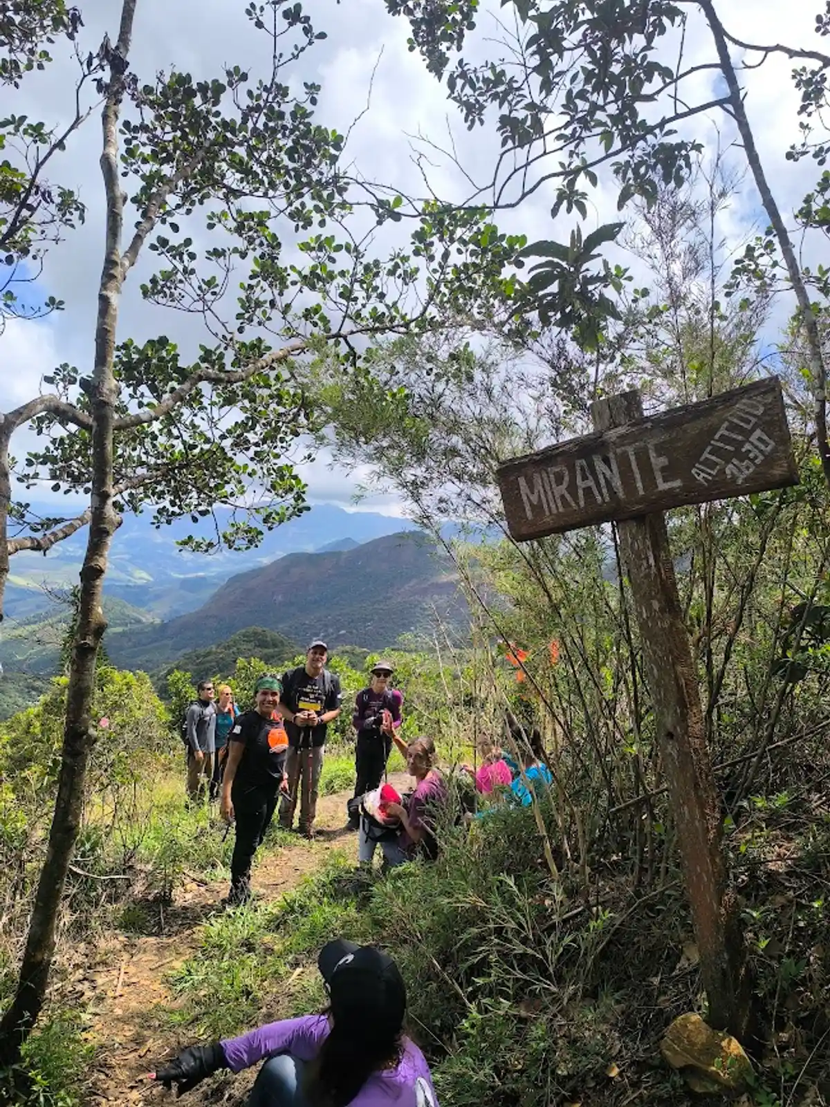
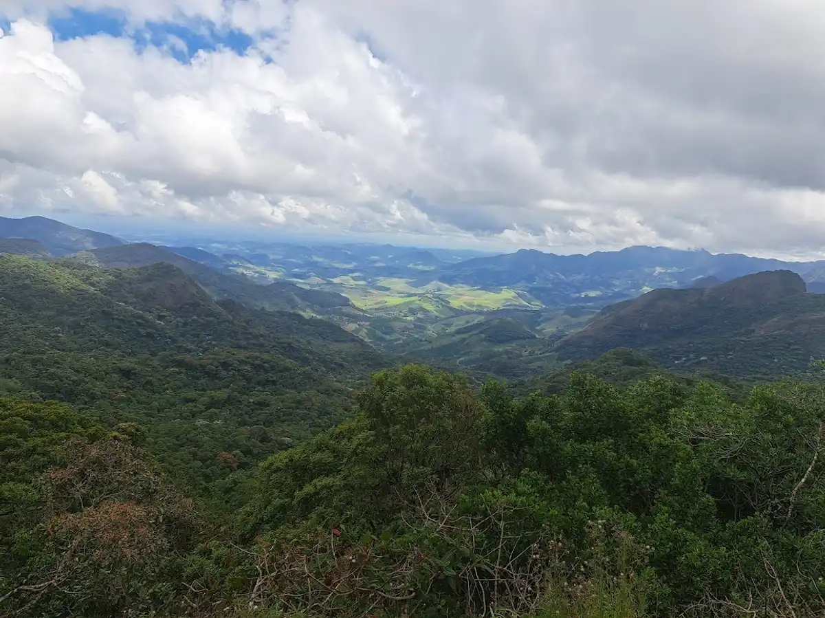
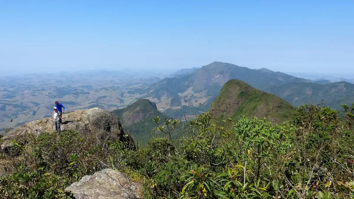
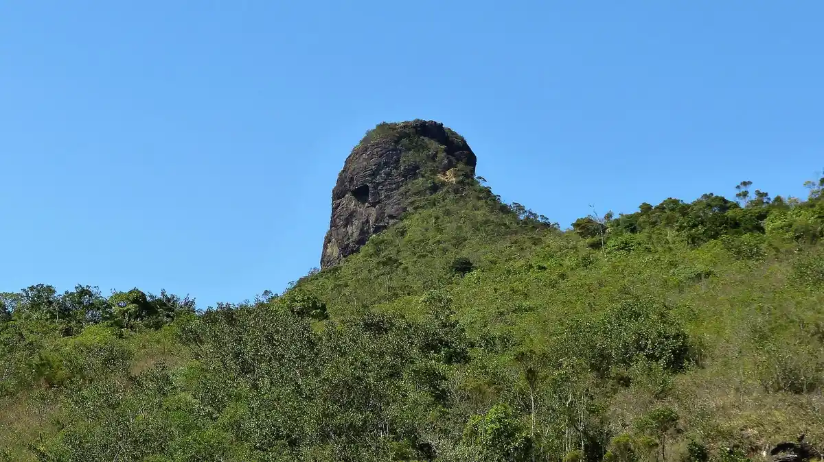
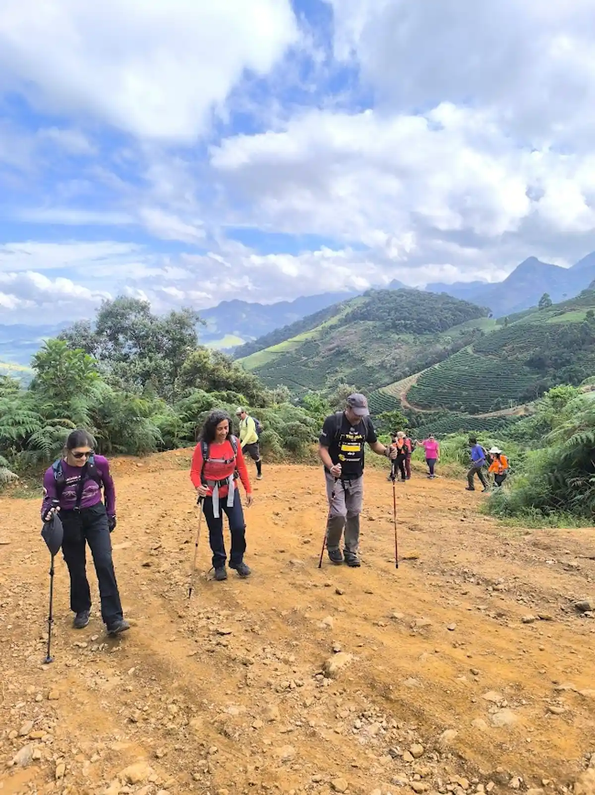
Pico do Boné (“Cap Peak”), which gets its name from its appearance when viewed from a distance, stands at 1,870 meters above sea level, and its summit is a small plateau measuring 10 by 15 meters, where vegetation of small shrubs and a large number of red-flowered bromeliads predominate. It is one of the highest peaks in the Parque Estadual da Serra do Brigadeiro. From its summit, there is a magnificent 360° panoramic view, where you can see the seas of hills: to the east, the district of Bom Jesus do Madeira; to the south, the Serra do Grama and Pedra do Pato; to the north, Pico do Soares and Pedra Branca; and to the west, the municipality of Araponga.
Guidelines Extension: 8 Km
 Difficulty Moderate
 Orientation Easy
 Signaling Level Partial
 Conservation Good
 Risk Exposure Medium
 Sun Exposure Medium
 Hydration Point Available
 Climbing There is
 Minimum Altitude: 250m Maximum Altitude: 1870m
 Negative Unevenness: 702m
 Positive Unevenness: 890m
Tips
Climbing to the actual summit of Pico do Boné is not permitted by the Parque Estadual da Serra do Brigadeiro. The ascent is up a rock wall, with high exposure to heights and a risk of falling. There are no ropes or steel cables at the site - to discourage the climb.
Map
Guidelines
Extension: 8 KmDifficulty: ModerateOrientation: EasySignaling Level: PartialMinimum Altitude: 250m Maximum Altitude: 1870m Negative Unevenness: 702m Positive Unevenness: 890m