Trilha para o Pico do Pão de Angu
Description
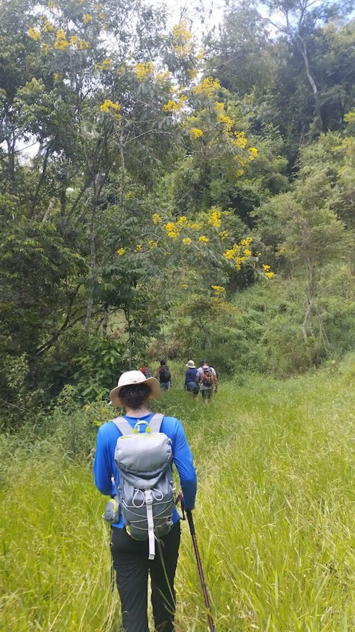
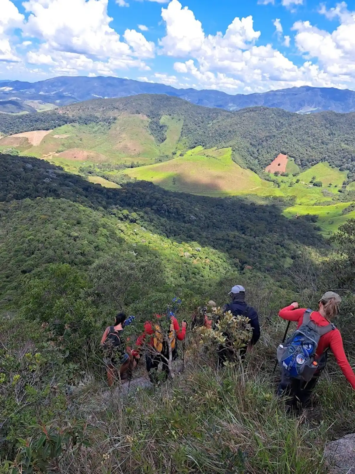
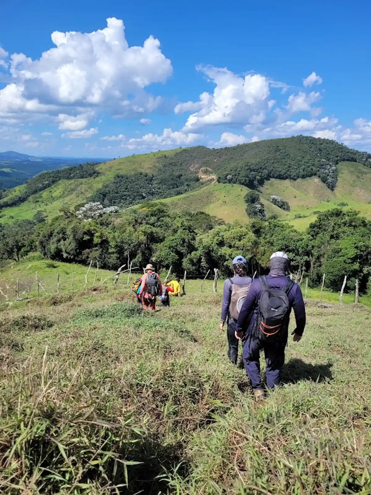
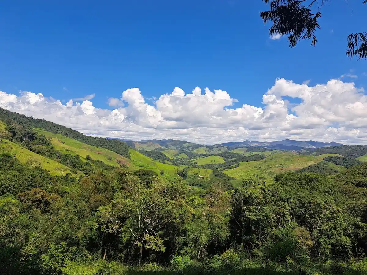
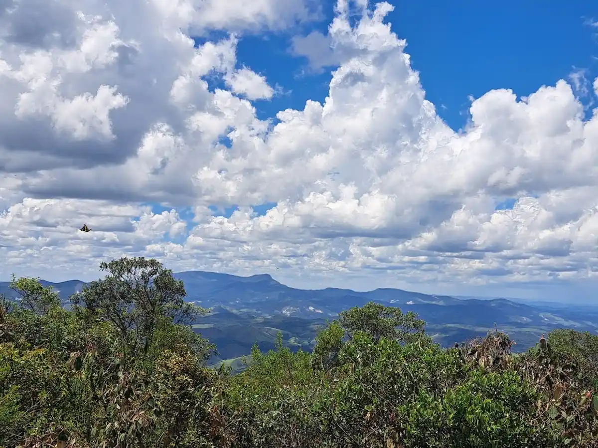
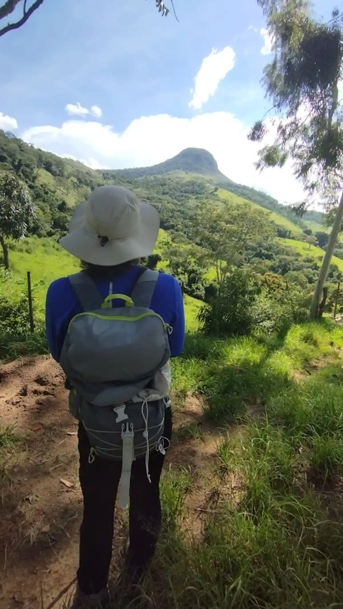
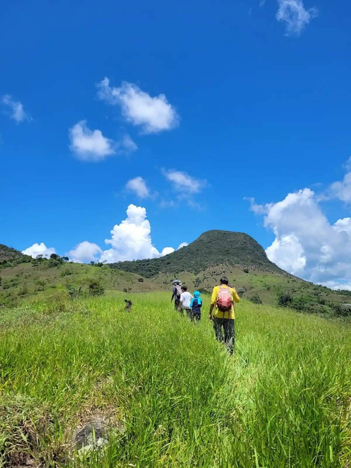
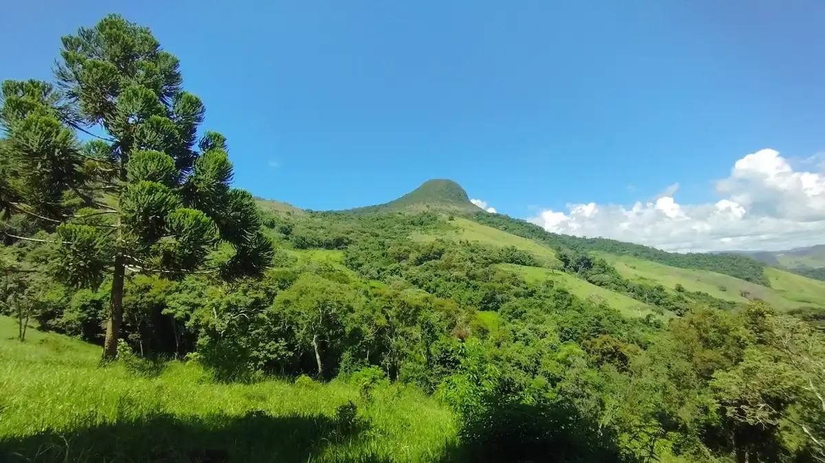
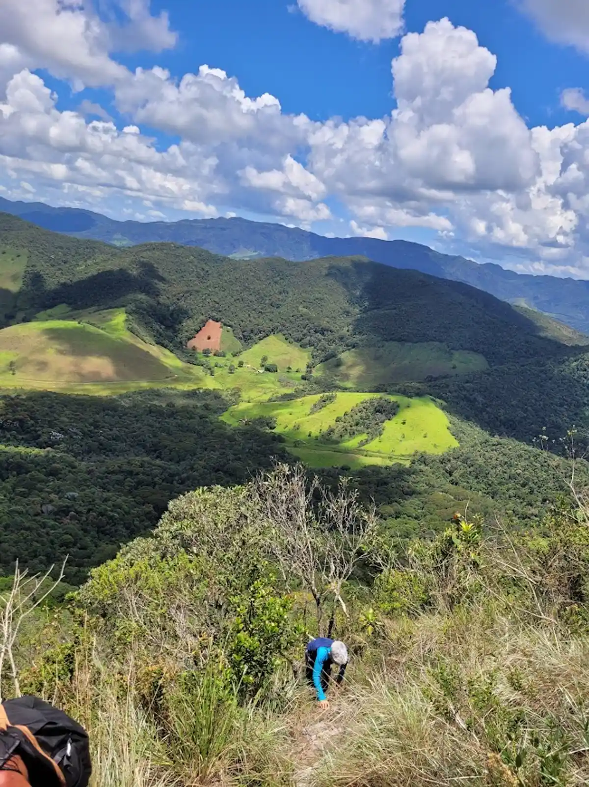
Pico do Pão de Angu is a 1,355-meter mountain that stands out imposingly among the mountains of Lima Duarte, MG, that surround it. Its summit is covered by high-montane grasslands, and around it you can see huge rock walls covered with candeia trees and rupestrian vegetation. The trail to the summit of the Peak features pastures, rivers, and waterfalls, such as the Cachoeira do Pão D'angu, and farms that are still preserved and productive. The Peak lies in the heart of the Serra do Funil, an enchanting region of Minas Gerais.
Guidelines Extension: 6.5 Km
 Difficulty Hard
 Orientation Moderate
 Signaling Level NonExistent
 Conservation Bad
 Risk Exposure Medium
 Sun Exposure High
 Hydration Point Unavailable
 Climbing There is
 Minimum Altitude: 834m Maximum Altitude: 1355m
 Negative Unevenness: 466m
 Positive Unevenness: 532m
Tips
The trail has no visible signage and starts after a large pasture area.
Map
Guidelines
Extension: 6.5 KmDifficulty: HardOrientation: ModerateSignaling Level: NonExistentMinimum Altitude: 834m Maximum Altitude: 1355m Negative Unevenness: 466m Positive Unevenness: 532m