Trilha do Tamandaré

Description
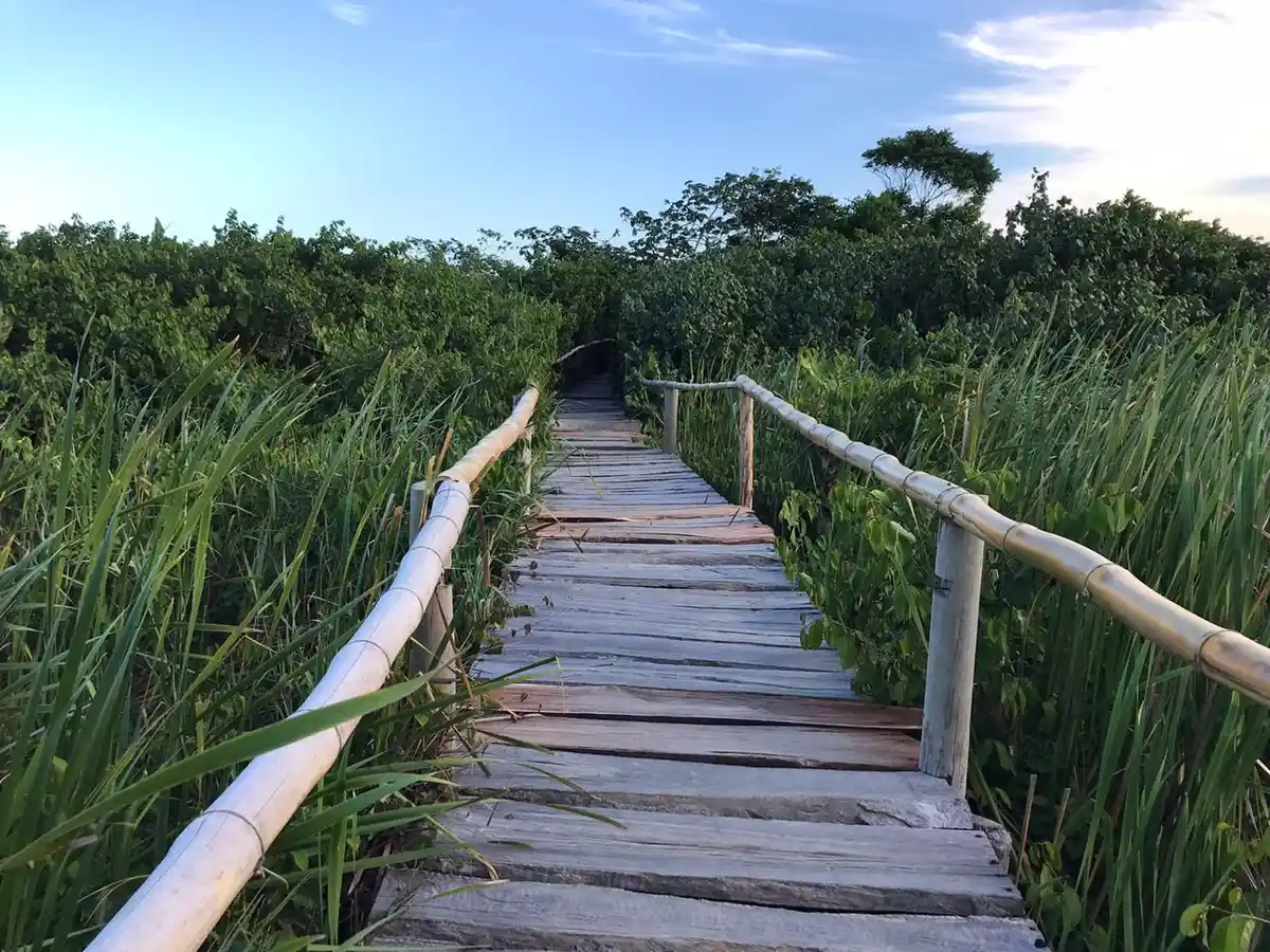
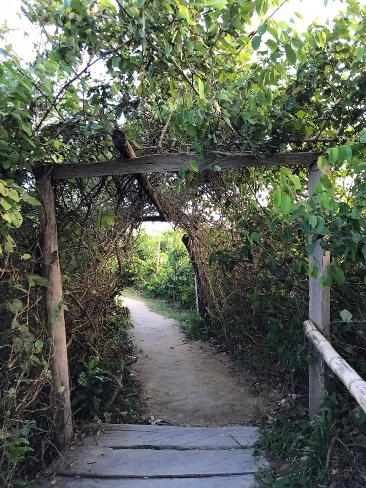
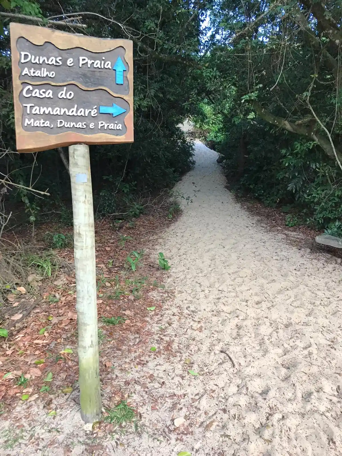
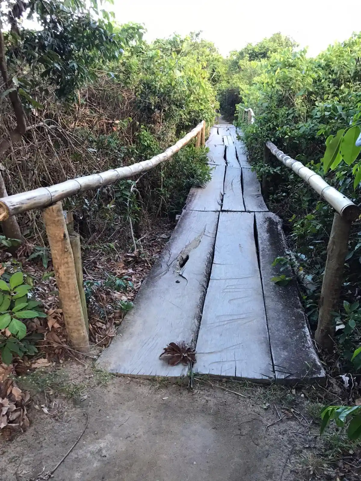
This trail covers a bit of the history of the old Vila de Itaúnas, buried by the sand of the dunes between the 1940s and the 1970s. It was used as an access route to the beach, up to the old house of “Seu Tamandaré”, still a surviving building from the days of old Itaúnas.
Guidelines Extension: 5.43 Km
 Difficulty Moderate
 Orientation Easy
 Signaling Level Partial
 Conservation Good
 Risk Exposure Low
 Sun Exposure High
 Hydration Point Unavailable
 Climbing No climbing required
 Minimum Altitude: -4m Maximum Altitude: 22m
 Negative Unevenness: 1m
 Positive Unevenness: 1m
Tips
Use sunscreen and insect repellent. Bring enough water, as the trail is not close to the kiosks.
Map
Guidelines
Extension: 5.43 KmDifficulty: ModerateOrientation: EasySignaling Level: PartialMinimum Altitude: -4m Maximum Altitude: 22m Negative Unevenness: 1m Positive Unevenness: 1m 