Trilha do Garimpo
Description
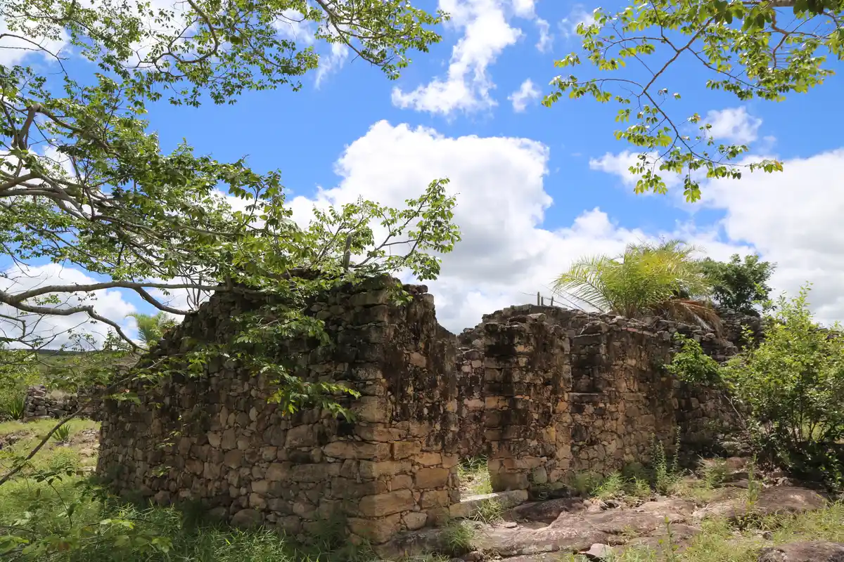
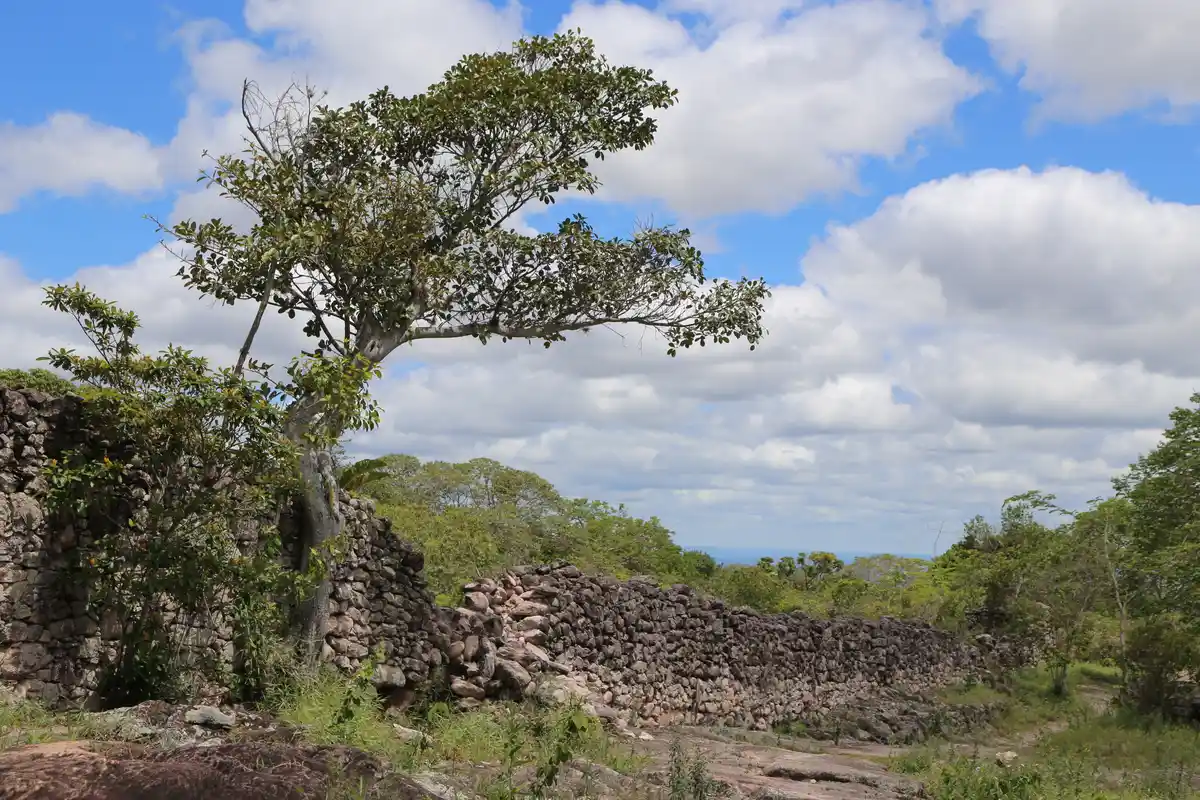
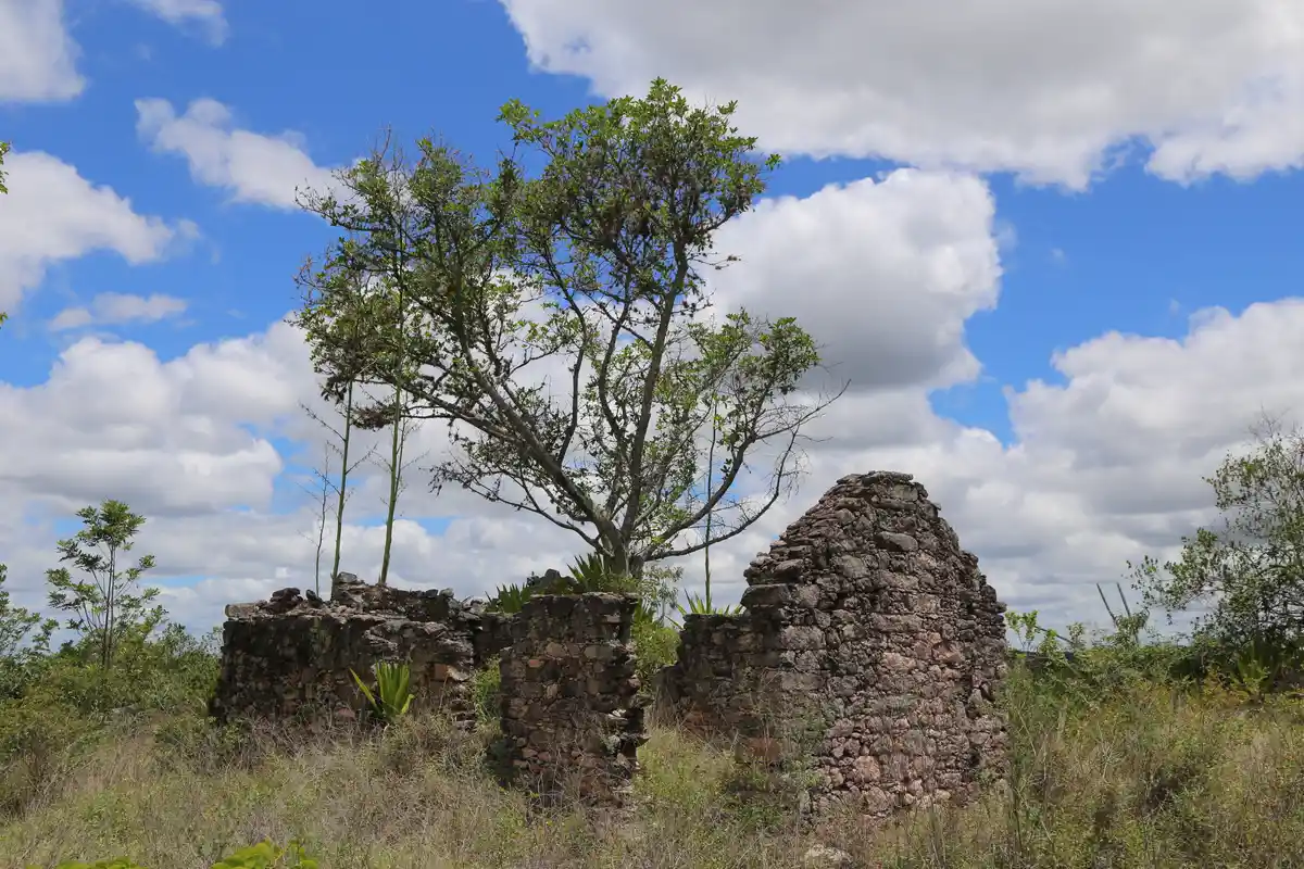
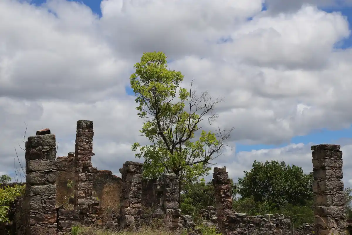
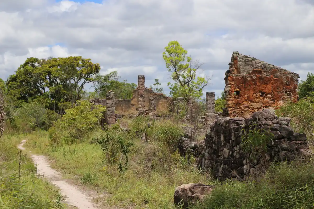
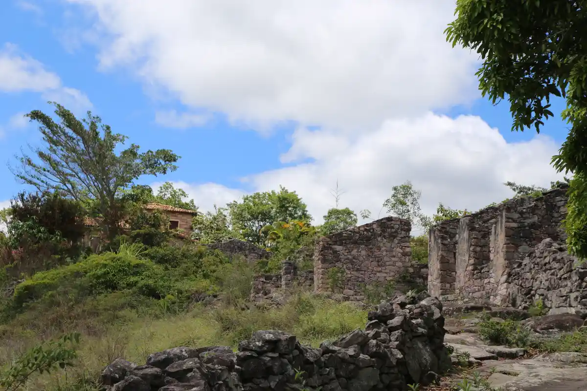
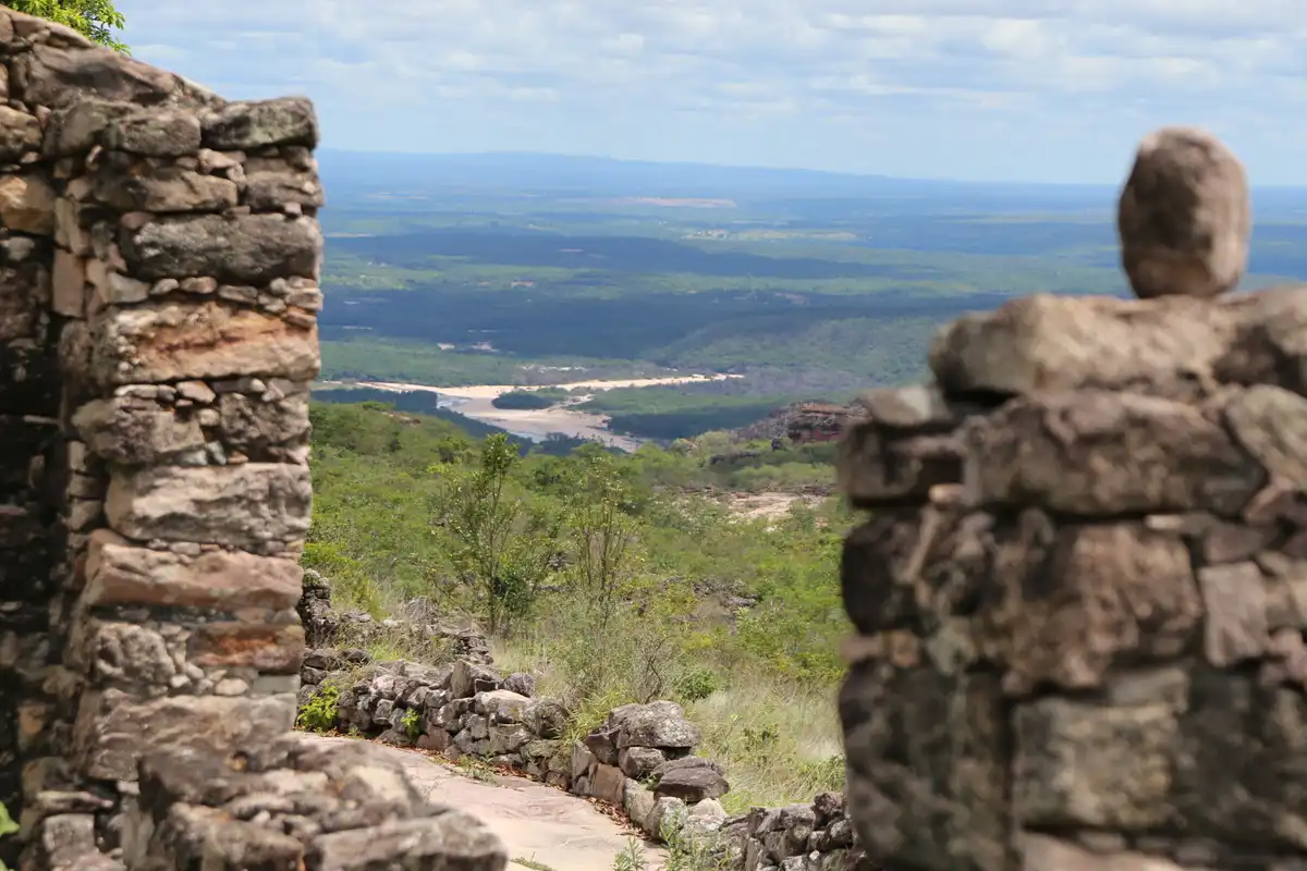
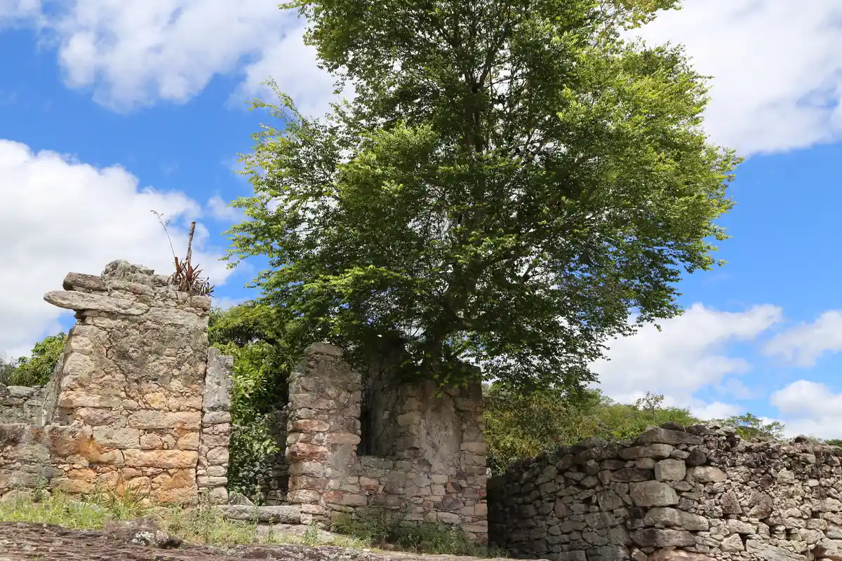
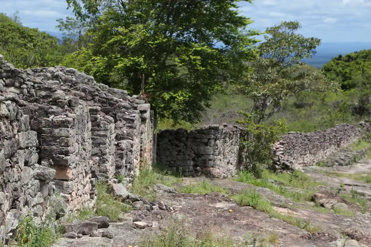
This is a historic trail from the gold mining period that connected the villages of Xique-Xique de Igatu and Andaraí. In addition to the stone pavement along almost the entire route, the Gold Rush Trail allows visitors to see the ruins of the old mining neighborhood of 'Luis dos Santos', where the main postcard of Igatu is located, as well as the 'Gallery of Art and Memory' museum that highlights the culture and history of the village. The path is a true journey through time, with numerous ruins, stone bridges, retaining walls, miners' shelters, and mining areas. Xique-Xique de Igatu began its diamond cycle around the year 1844, when the first miners arrived in the region's mountains. From a small mining area, it expanded into urban areas, featuring stores selling imported goods, a school, a free market, followed by a cinema and telephone services. Its population reached nearly nine thousand inhabitants distributed between the urban area and the mines surrounding the village. The second half of the 19th century solidified as the peak of diamond production when Brazil achieved the status of the world's largest producer of the gem. After the war period, with its mines exhausted after more than a century of exploitation, the diamond economy could no longer sustain itself, leading to the depopulation of the village and other towns that arose from diamond mining. The growing industrialization of the southern part of the country in the post-war period caused many of its inhabitants to migrate to São Paulo, a movement that, in a few years, left the village almost empty. Entire neighborhoods were abandoned, and the remaining population settled in the central houses, among others that were collapsing. Almost entirely built of stone, the collection of houses and mining engineering fell into ruin, today constituting a significant historical and archaeological collection from the diamond cycle.
Guidelines Extension: 5.26 Km
 Access status: Open
 Difficulty Easy
 Orientation Easy
 Signaling Level NonExistent
 Conservation Good
 Risk Exposure Low
 Sun Exposure High
 Hydration Point Unavailable
 Climbing No climbing required
 Minimum Altitude: 352m Maximum Altitude: 725.6m
 Negative Unevenness: 646m
 Positive Unevenness: 275m
Tips
Not provided in this language
Map
Guidelines
Extension: 5.26 KmDifficulty: EasyOrientation: EasySignaling Level: NonExistentMinimum Altitude: 352m Maximum Altitude: 725.6m Negative Unevenness: 646m Positive Unevenness: 275m