Trilha do Cameru
Description
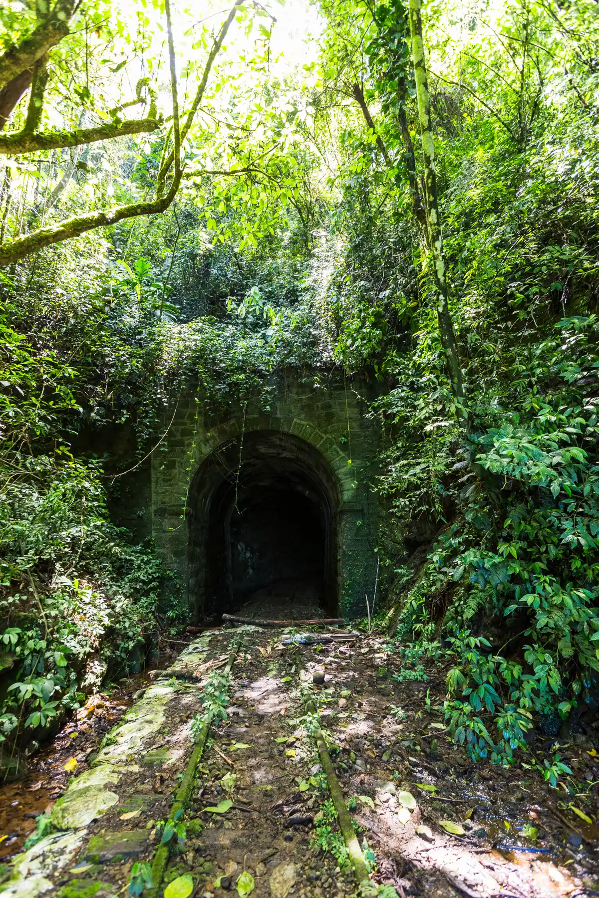
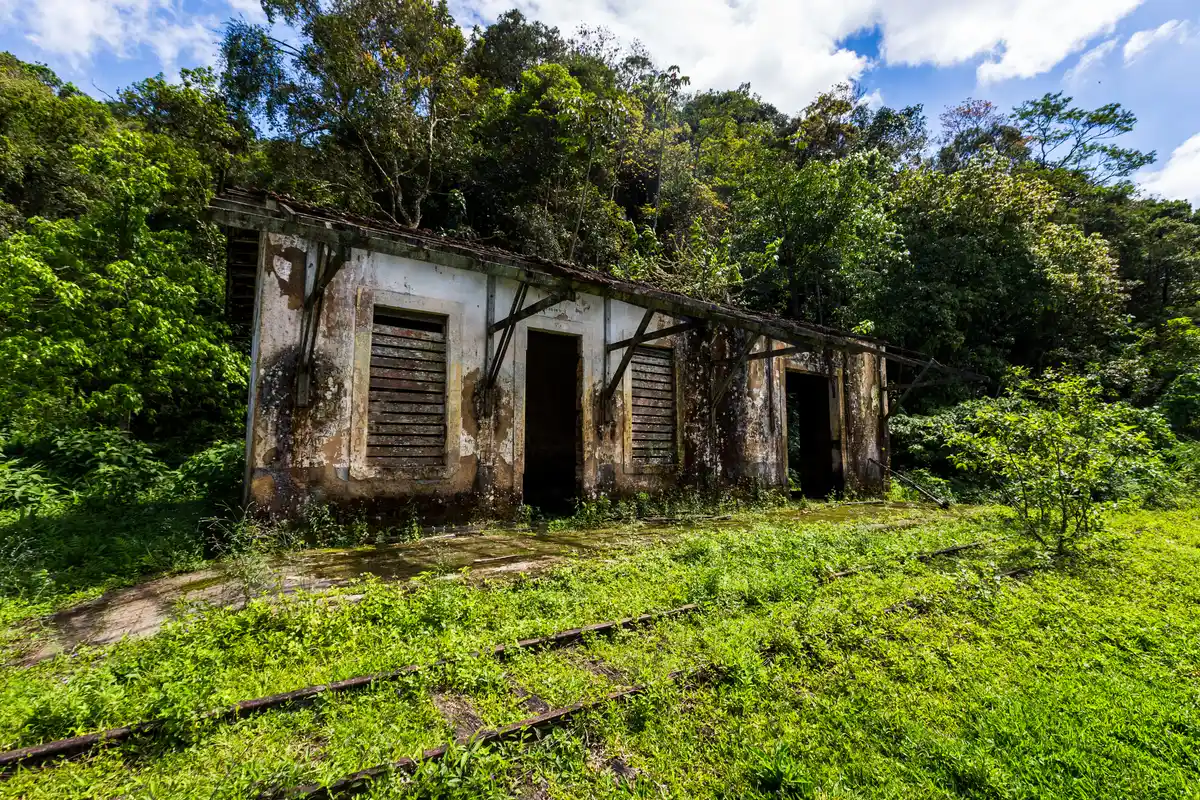
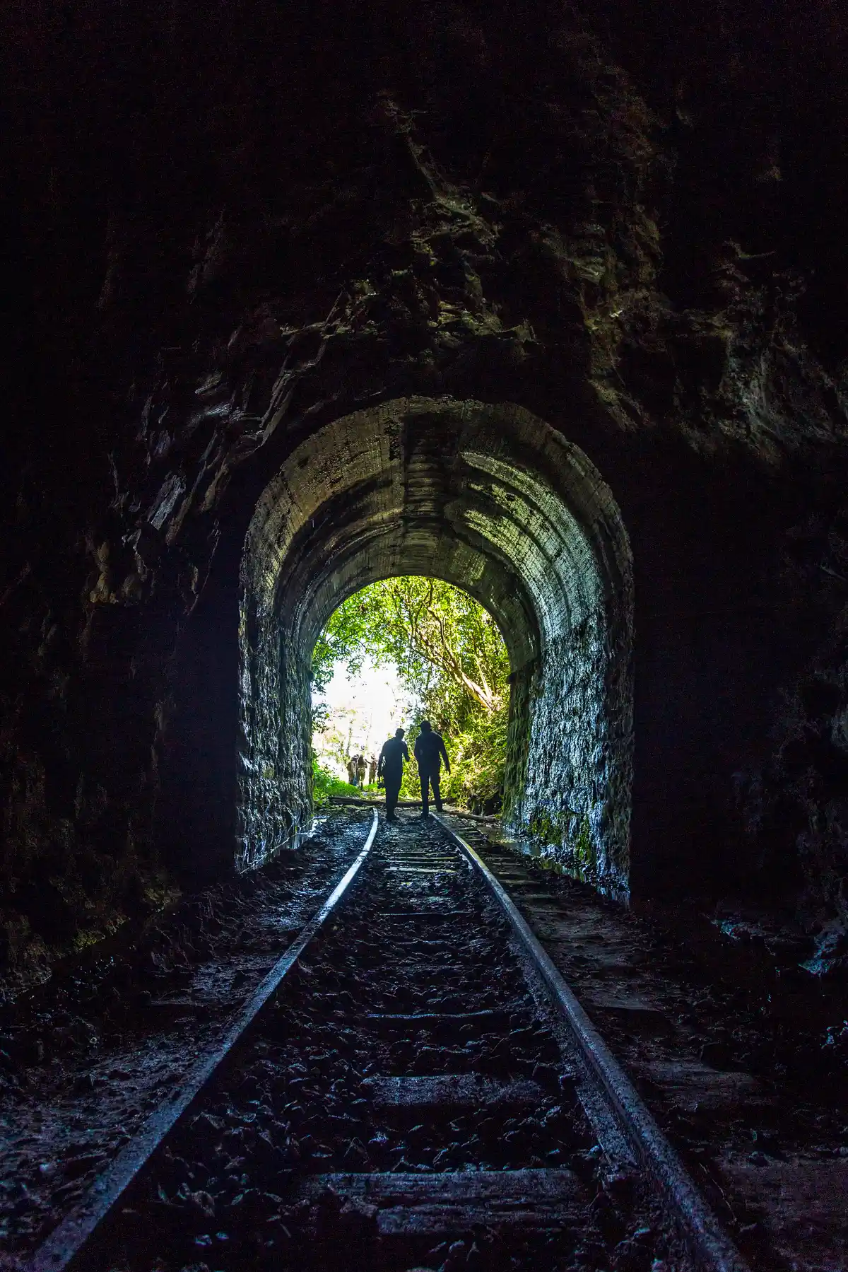
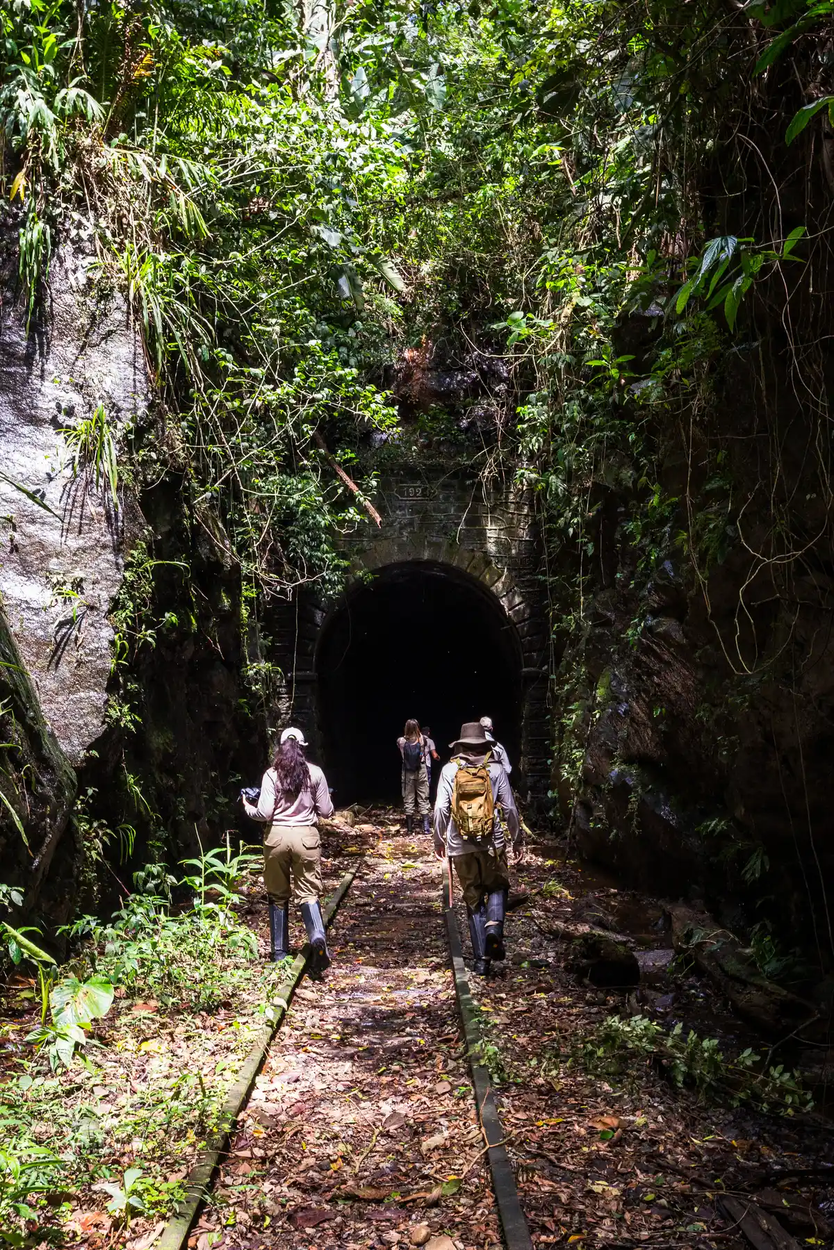
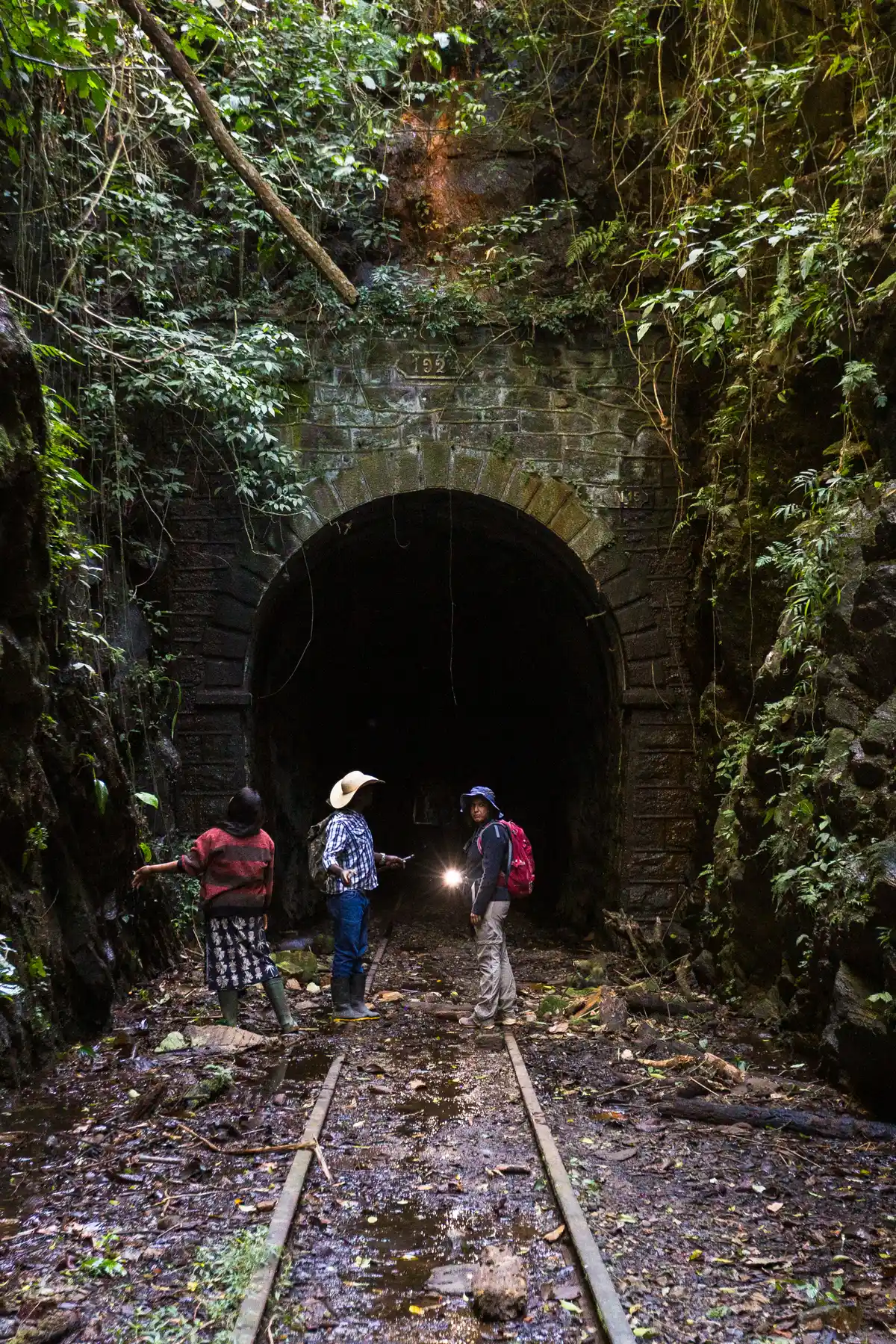
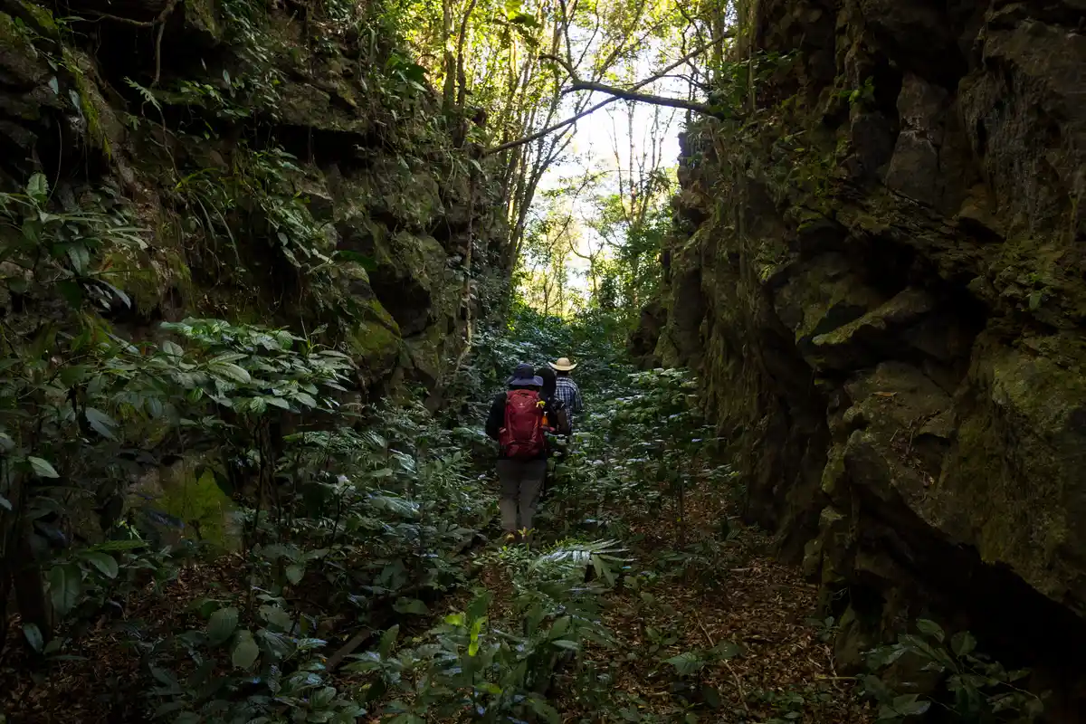
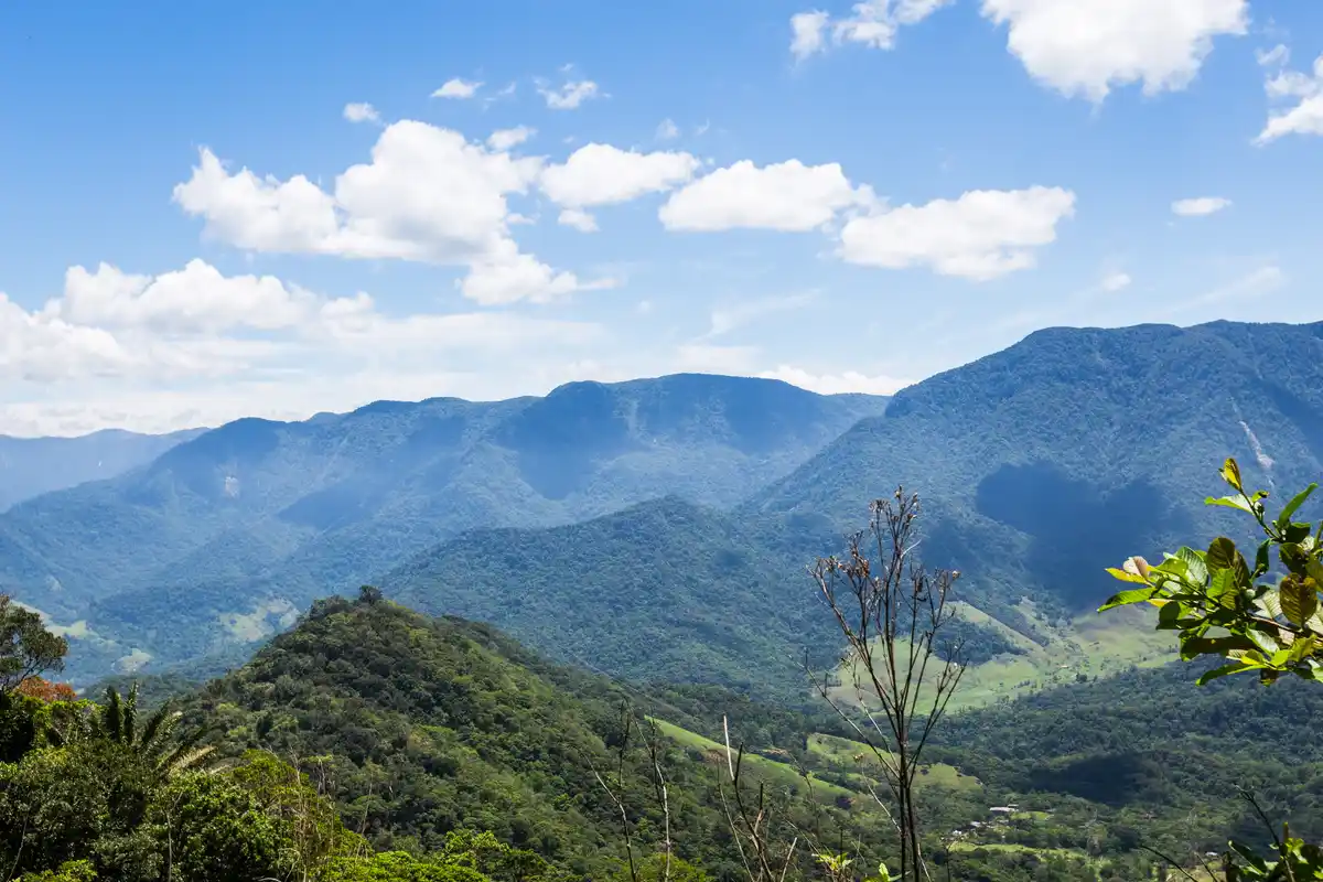
The trail starts and ends at the Alto da Serra station, in a circular direction, passing through paths between properties of the Quilombo do Alto da Serra do Mar. At the end of the route, at its highest point, it is possible to observe the sea, a rustic ground oven, and some crops on the land.
Guidelines Extension: 4.42 Km
 Difficulty Moderate
 Orientation Easy
 Signaling Level NonExistent
 Conservation Bad
 Risk Exposure Low
 Sun Exposure Medium
 Hydration Point Unavailable
 Climbing No climbing required
 Minimum Altitude: 570m Maximum Altitude: 654m
 Negative Unevenness: 628m
 Positive Unevenness: 627m
Tips
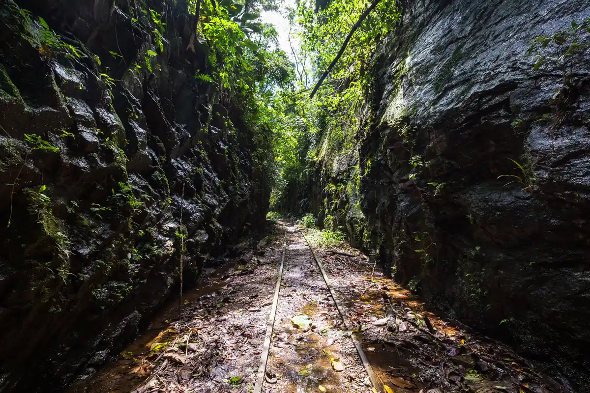
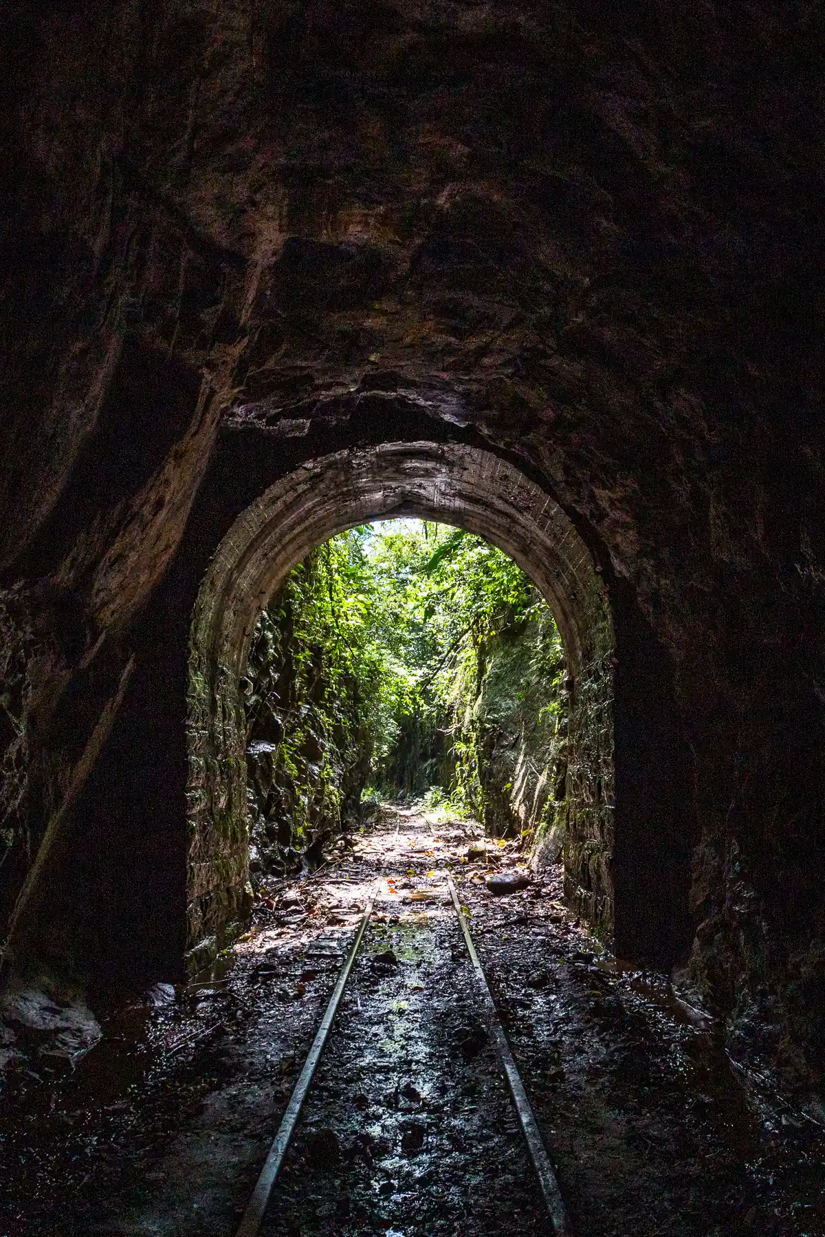
The starting point of the trail can be reached by car, but it’s also possible to begin the hike from the Alto da Serra do Mar Quilombo, which increases the total distance. Part of the route is exposed to the sun, while another part goes through the Atlantic Forest, so caution is advised regarding mosquitoes and venomous animals.
Map
Guidelines
Extension: 4.42 KmDifficulty: ModerateOrientation: EasySignaling Level: NonExistentMinimum Altitude: 570m Maximum Altitude: 654m Negative Unevenness: 628m Positive Unevenness: 627m