Trilha das Onças

Description
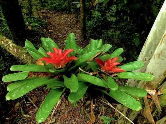
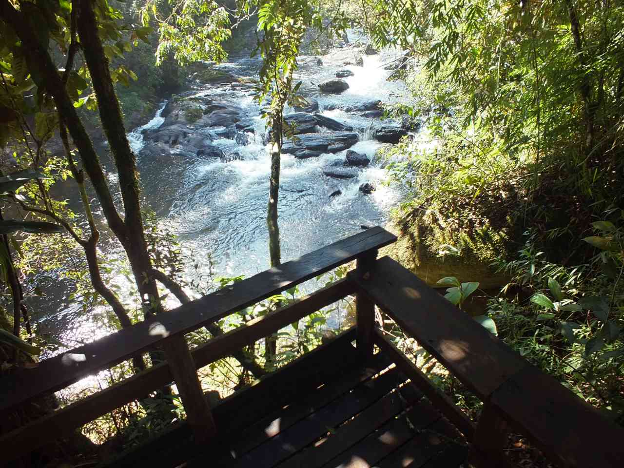
The trail is located within the Atlantic Forest Biome, featuring dense ombrophilous phytophysiognomy, characterized by secondary forest with a high level of regeneration and visible biological diversity. It is also classified as a riparian trail located along the banks of the Paraibuna River. At the beginning of the trail and part of the route, the main attraction is the Paraibuna River with waterfalls, a viewpoint for contemplation at a specific point of the river known as the "Instagrammable viewpoint". At the end of the trail, near the road, there is another waterfall for contemplation and a lake.
Guidelines Extension: 2.1 Km
 Difficulty Easy
 Orientation Easy
 Signaling Level Complete
 Conservation Excellent
 Risk Exposure Medium
 Sun Exposure Low
 Hydration Point Available
 Climbing No climbing required
 Minimum Altitude: 1060m Maximum Altitude: 1097m
 Negative Unevenness: 0m
 Positive Unevenness: 0m
Tips
Not provided in this language
Map
Guidelines
Extension: 2.1 KmDifficulty: EasyOrientation: EasySignaling Level: CompleteMinimum Altitude: 1060m Maximum Altitude: 1097m Negative Unevenness: 0m Positive Unevenness: 0m 