Trilha das Gigantes

Description
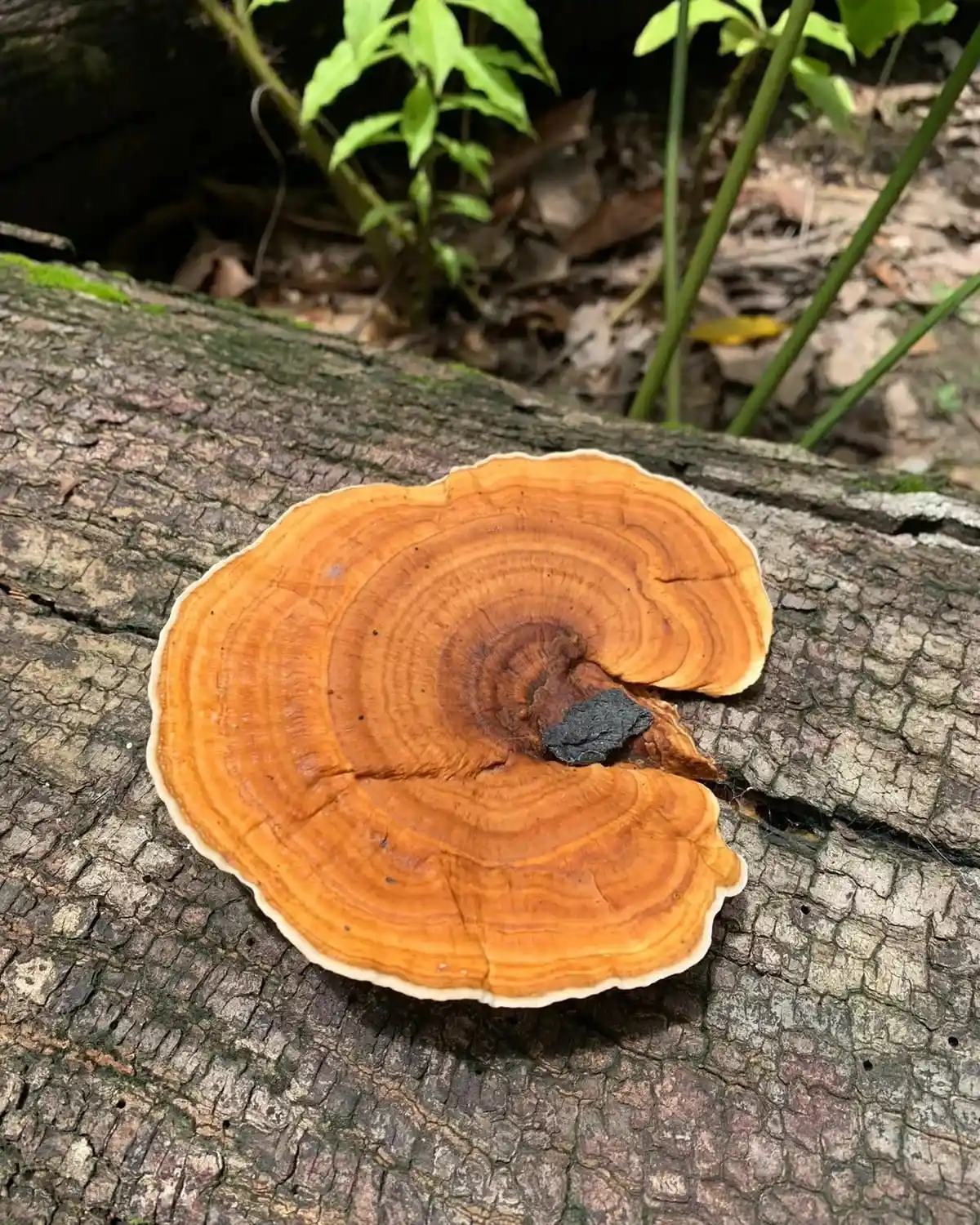
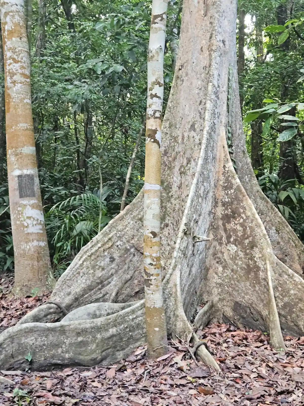
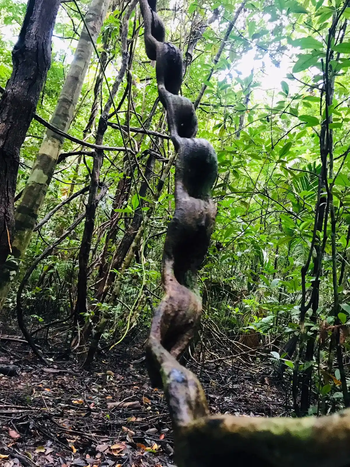
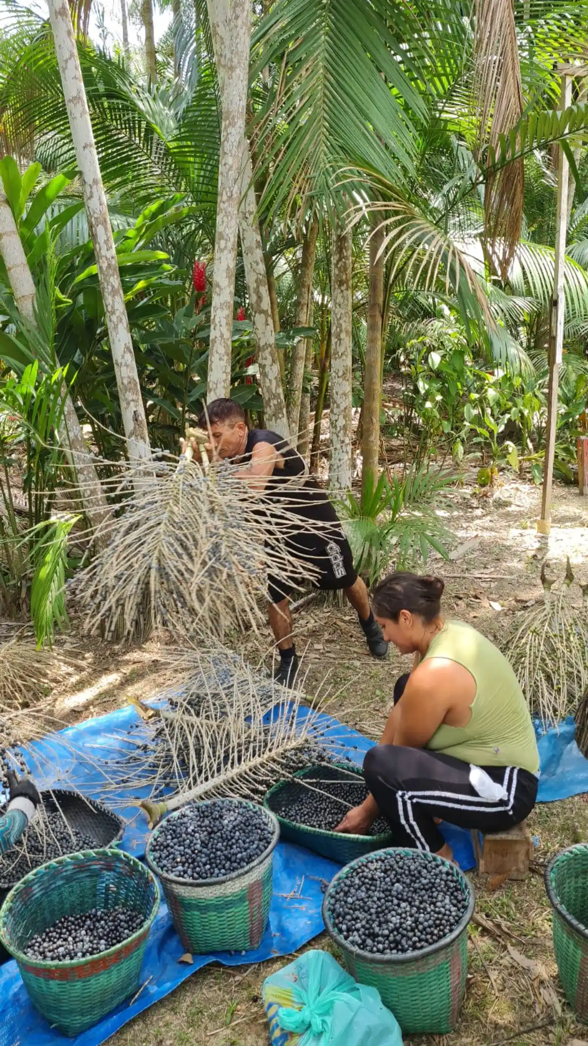
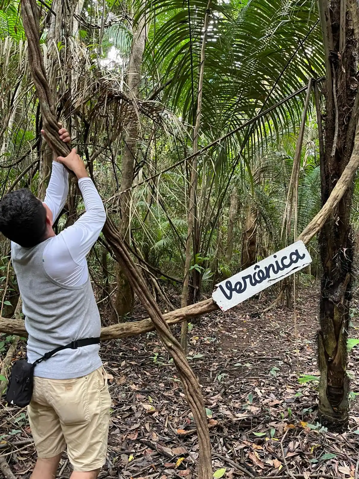
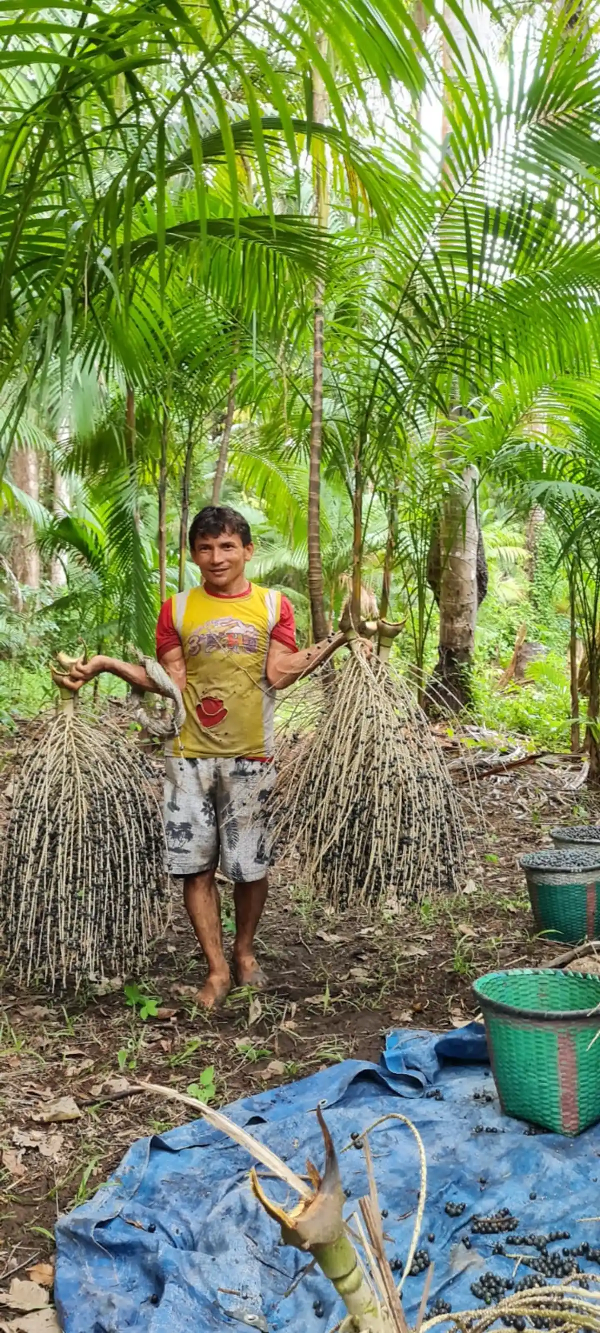
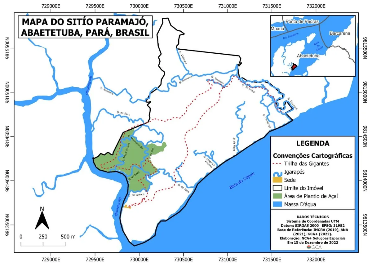
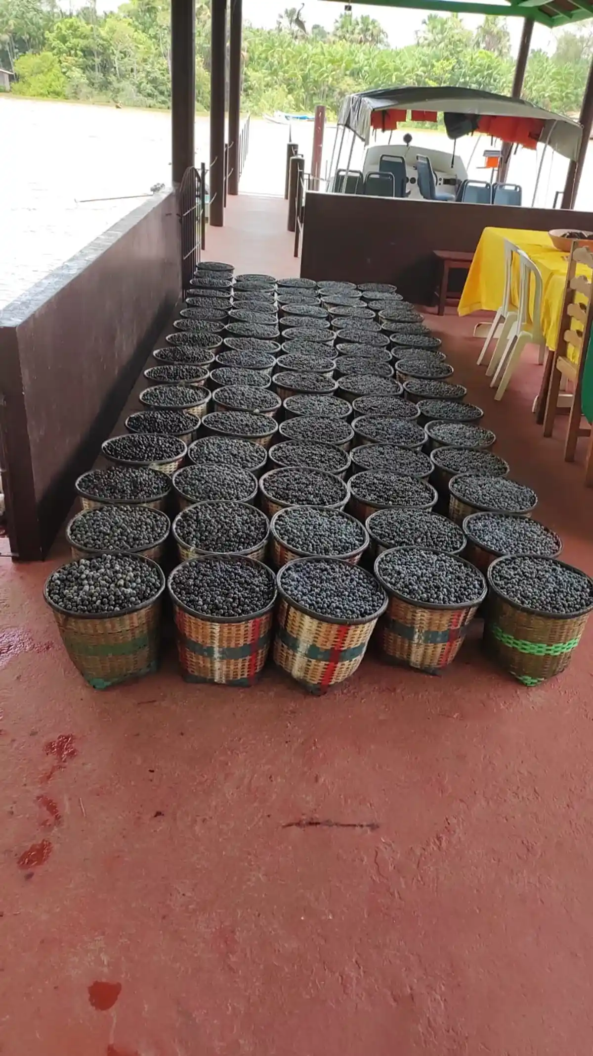
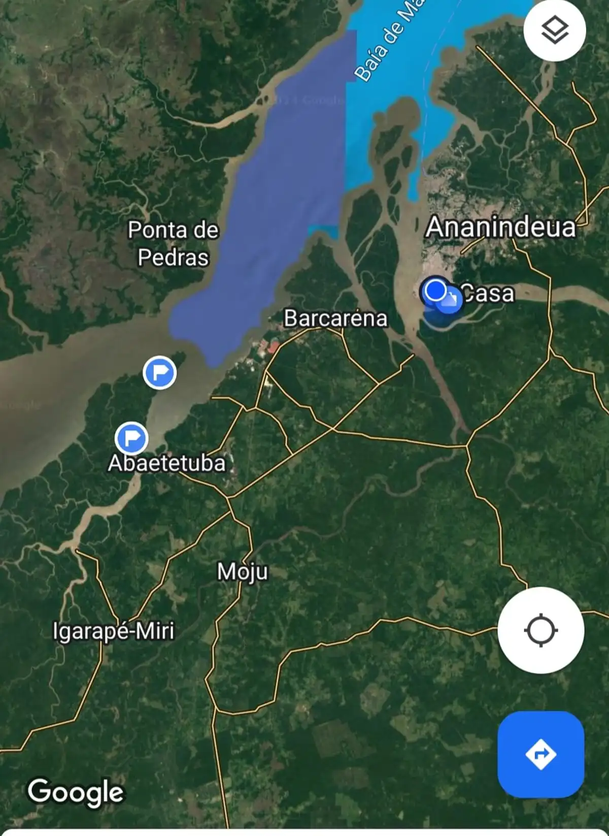
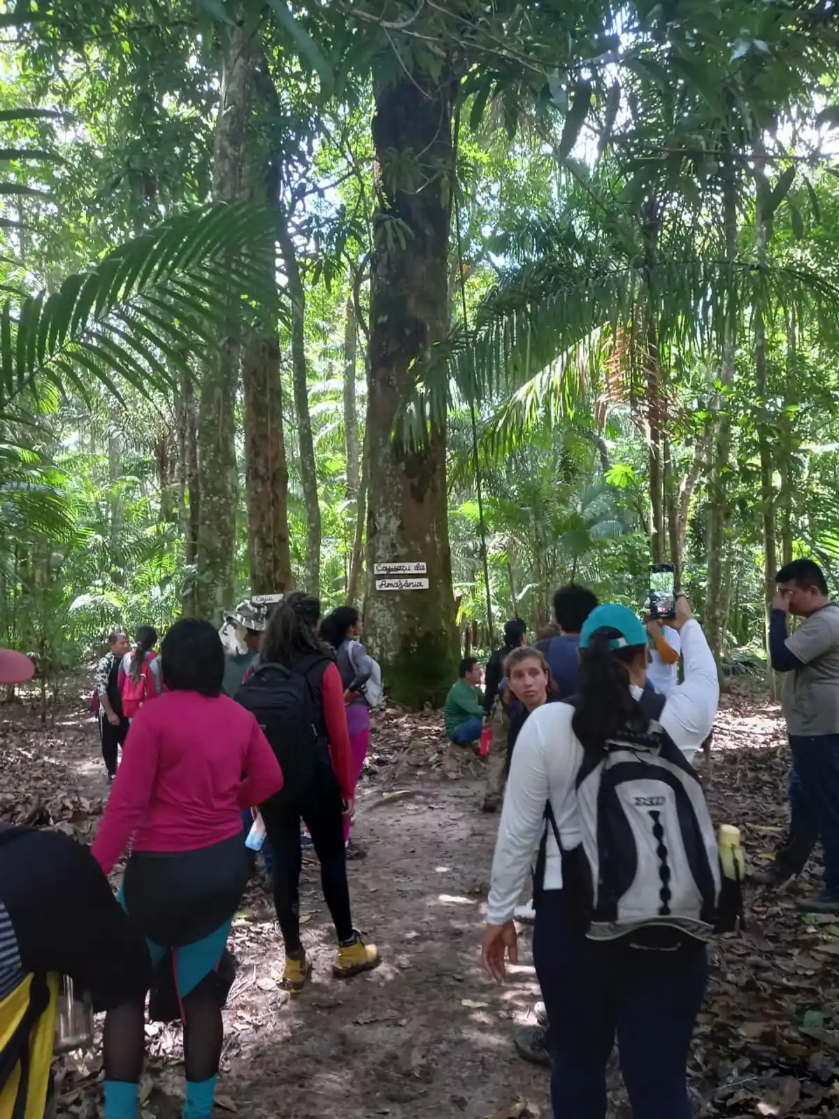
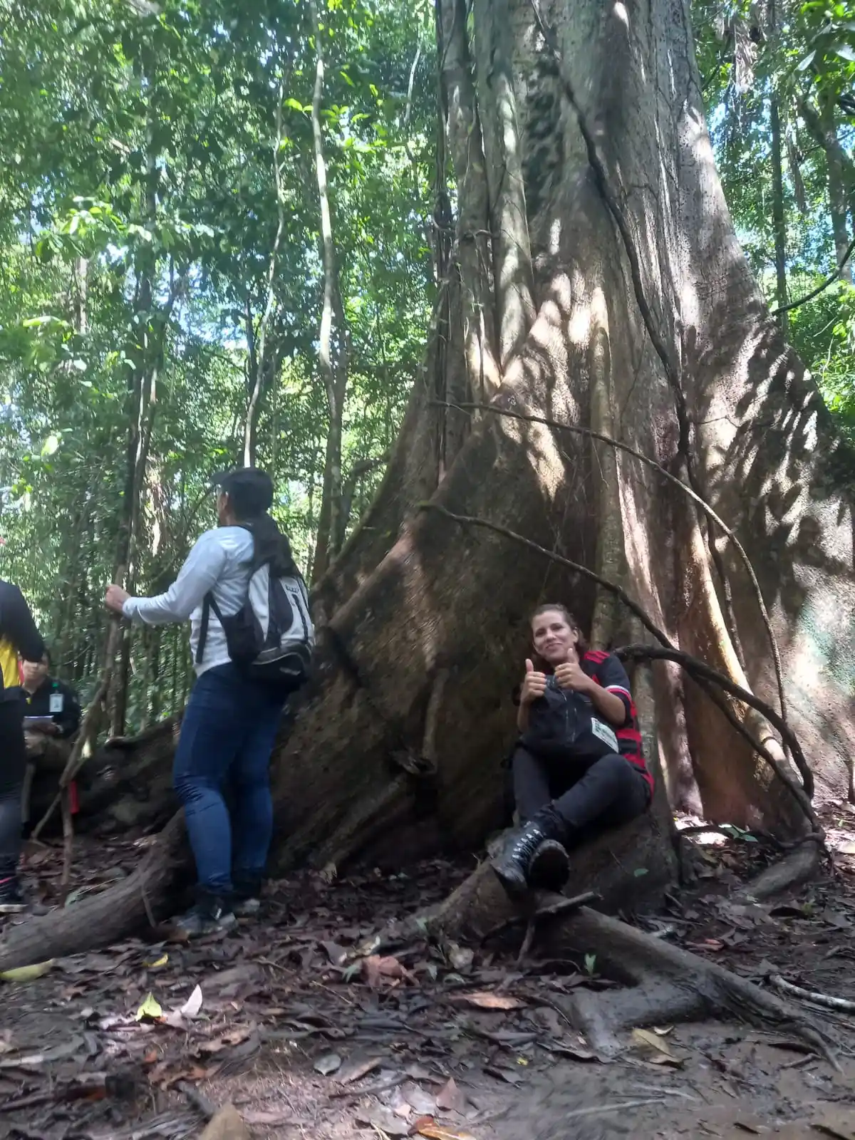
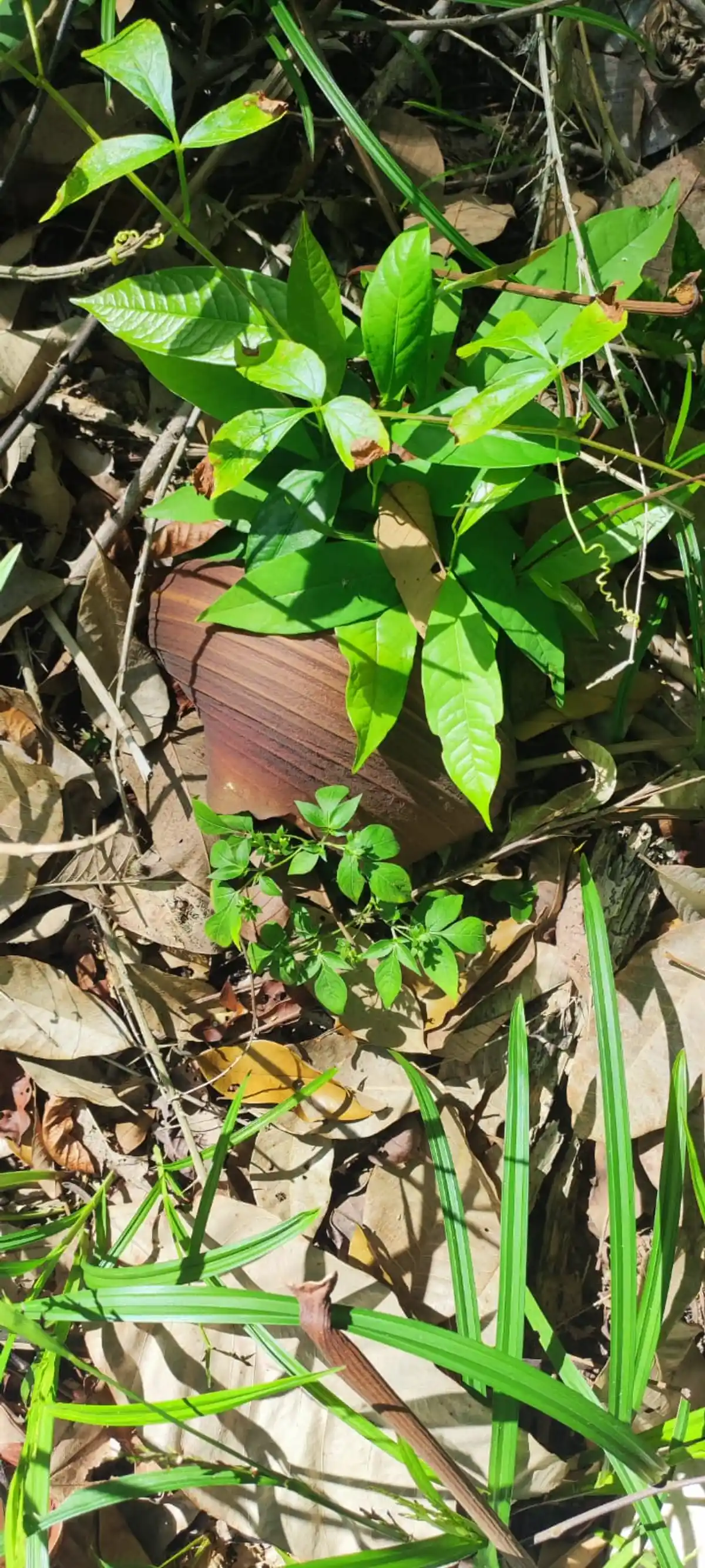
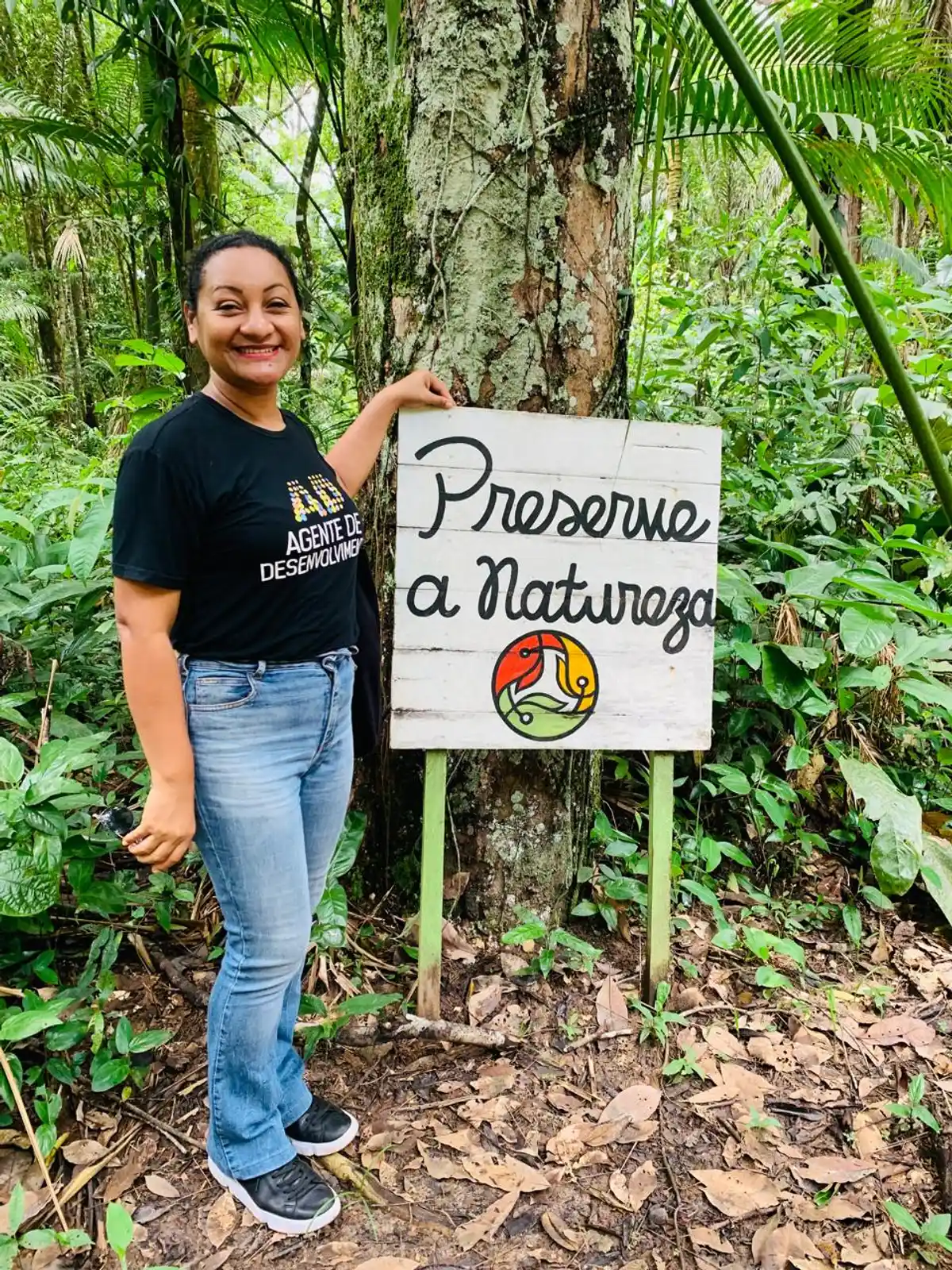
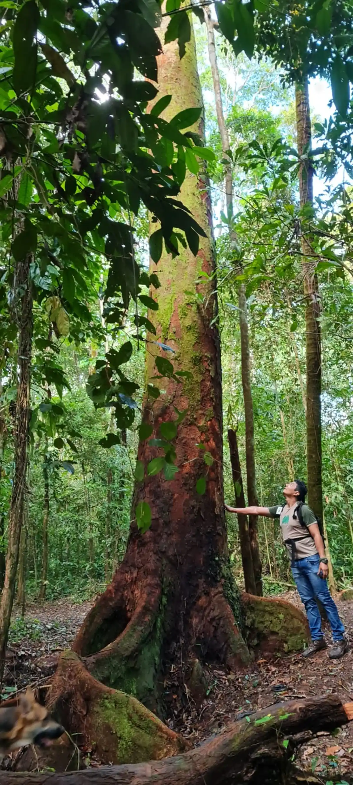
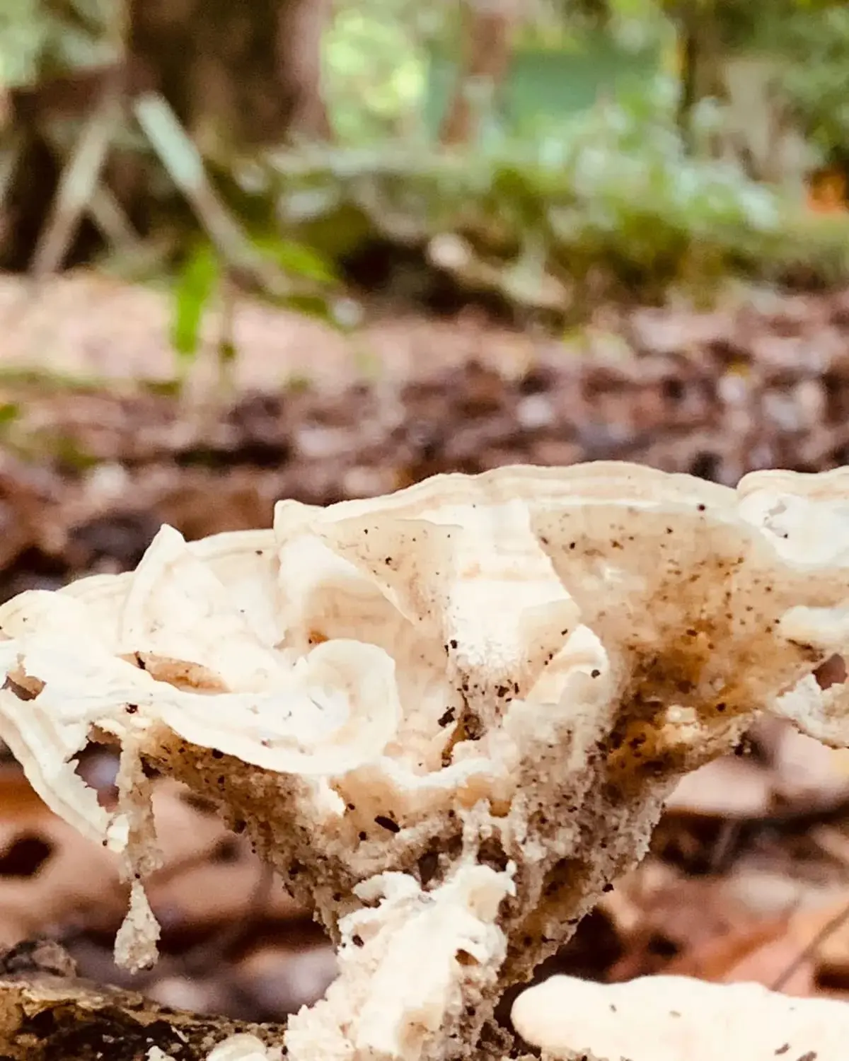
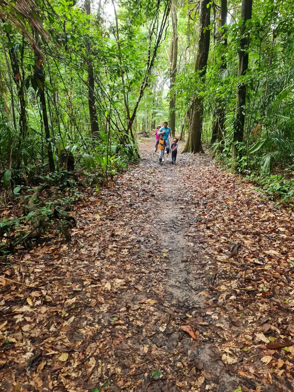
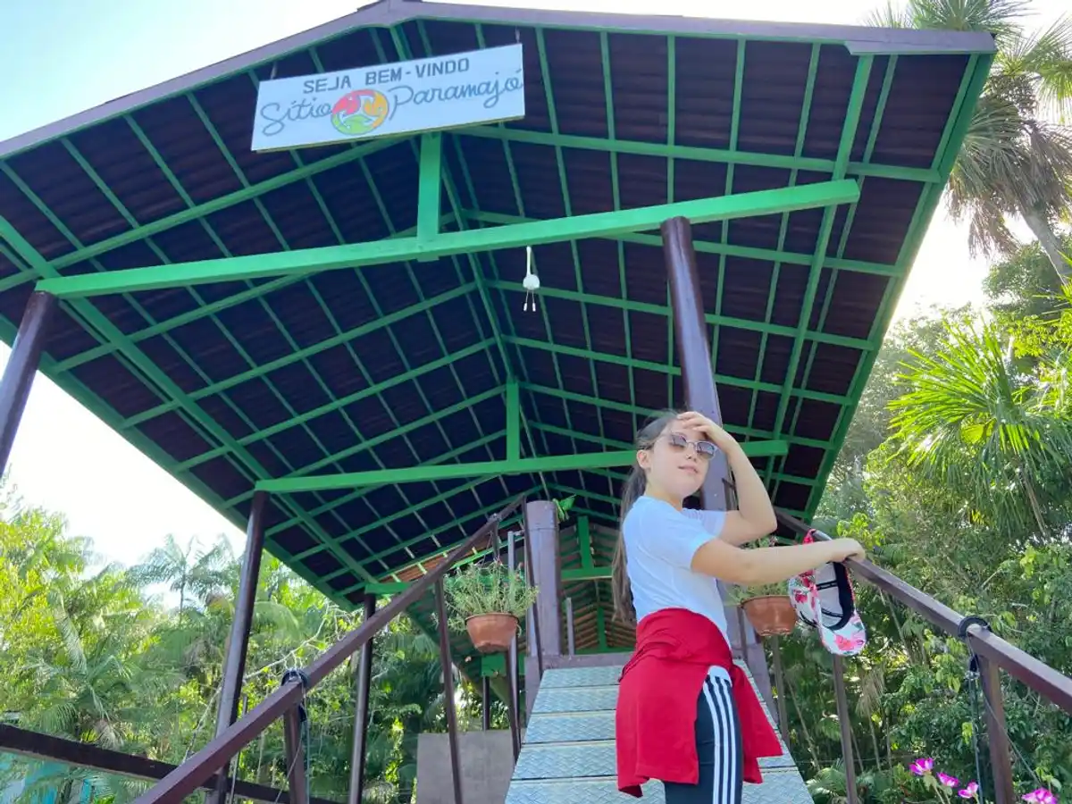
The Trail of the Giants traverses part of the Islands Region of the municipality of Abaetetuba, located in the estuary of the Tocantins River. The Islands Region of Lower Tocantins is currently the largest producer of açaí in the world, but it once had a cycle of sugarcane and aguardente. It is a large Amazon rainforest area, with species characteristic of the river's floodplain and upland, reaching heights of 60m. The trail is located at Eco Sítio Paramajó and passes through preserved forest areas, featuring centenary species, where it is possible to observe rare species along the trail, including: açacú, anani, andiroba, angelim, buiuçu, cajuaçu, cerú, cinzeiro, jatobá, jutaí, matamatá, pará-pará, paricá, pitaíca, pracúuba, quaruba, samaumeira, seringueira, sucupira, tauari, ucuúba, etc., as well as a variety of palms: açaí, bacaba, inajá, jupati, miriti, mucajá, muru-muru, palheira, paxiúba, pupunha, tucumã, etc. The trail crosses several streams, alternating between floodplain and upland areas, showcasing the immense diversity of the Amazon rainforest. The Trail of the Giants also traverses an area of açaí groves, where it is possible to observe all the activities of harvesting, packaging, and transporting the açaí fruit.
Guidelines Extension: 6 Km
 Difficulty Easy
 Orientation Easy
 Signaling Level Partial
 Conservation Excellent
 Risk Exposure Low
 Sun Exposure Low
 Hydration Point Unavailable
 Climbing No climbing required
 Minimum Altitude: 4m Maximum Altitude: 25m
 Negative Unevenness: -7m
 Positive Unevenness: 7m
Tips
To reach Eco Sítio Paramajó, visitors must travel by river from Abaetetuba. For more information, see: - Facebook: Eco Sitio Paramajo-Trilha das Gigantes - Instagram: @ecositioparamajo - WhatsApp: +55 (91) 98708-1521 - Email: sitioparamajo@gmail.com
Map
Guidelines
Extension: 6 KmDifficulty: EasyOrientation: EasySignaling Level: PartialMinimum Altitude: 4m Maximum Altitude: 25m Negative Unevenness: -7m Positive Unevenness: 7m