Trilha da Pedra Chata
Description
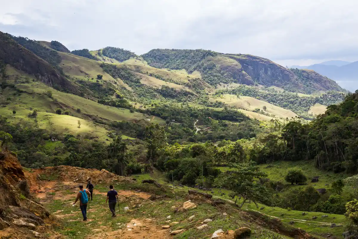
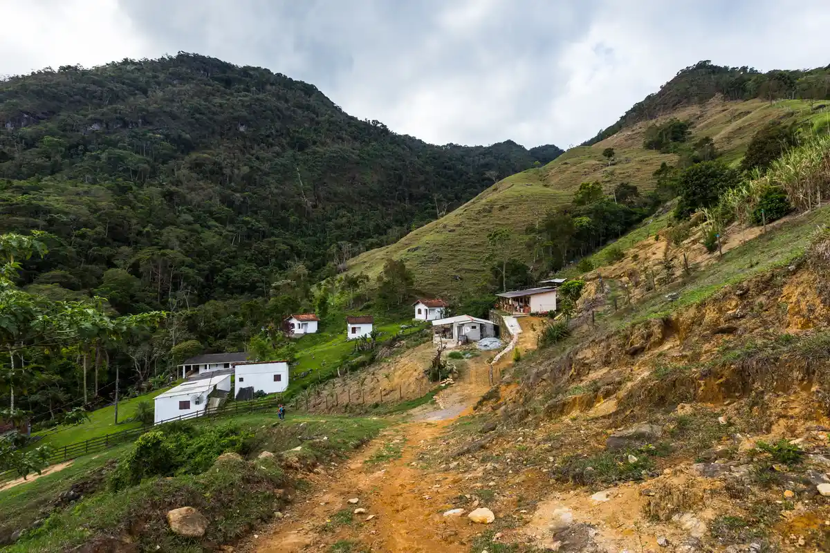
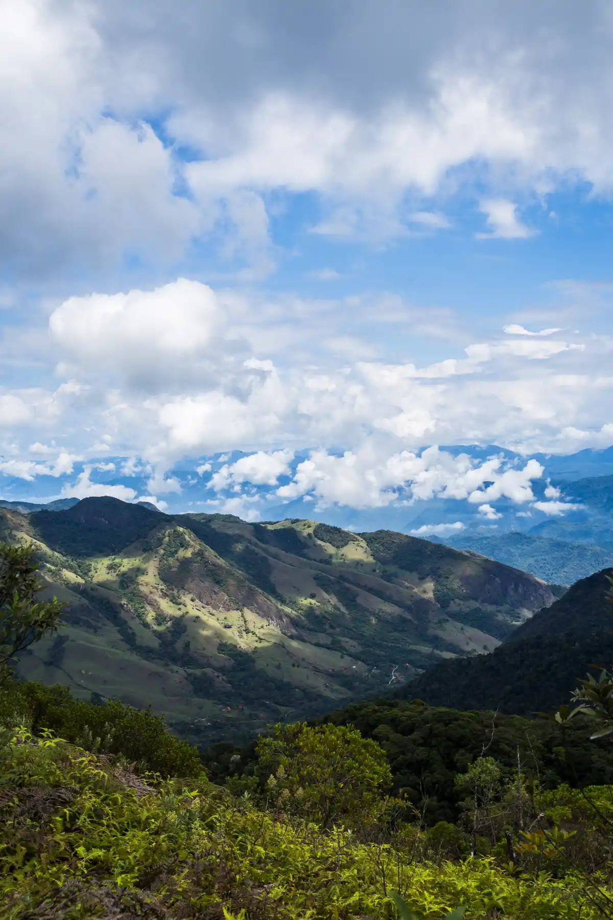
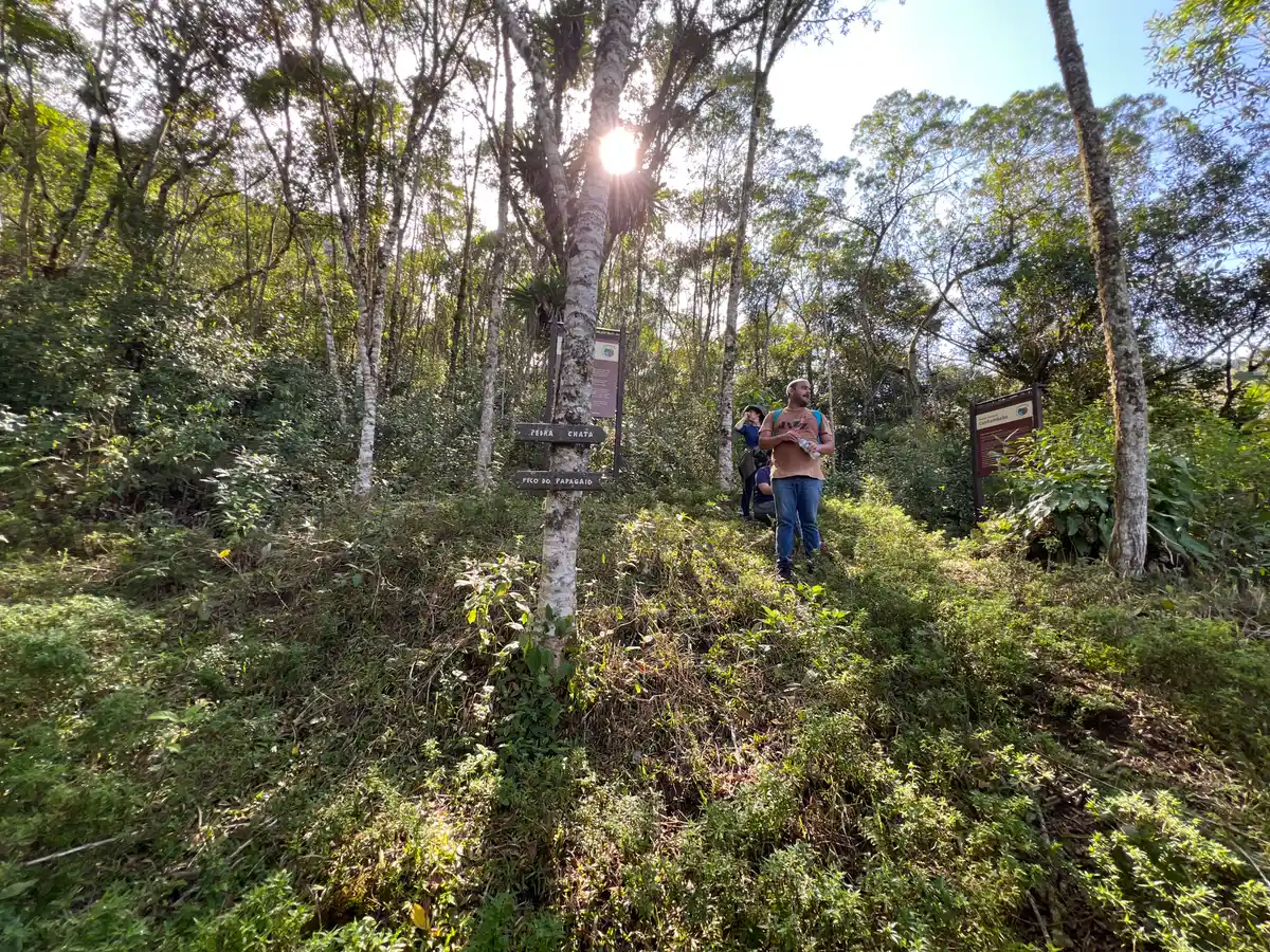
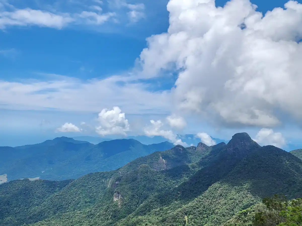
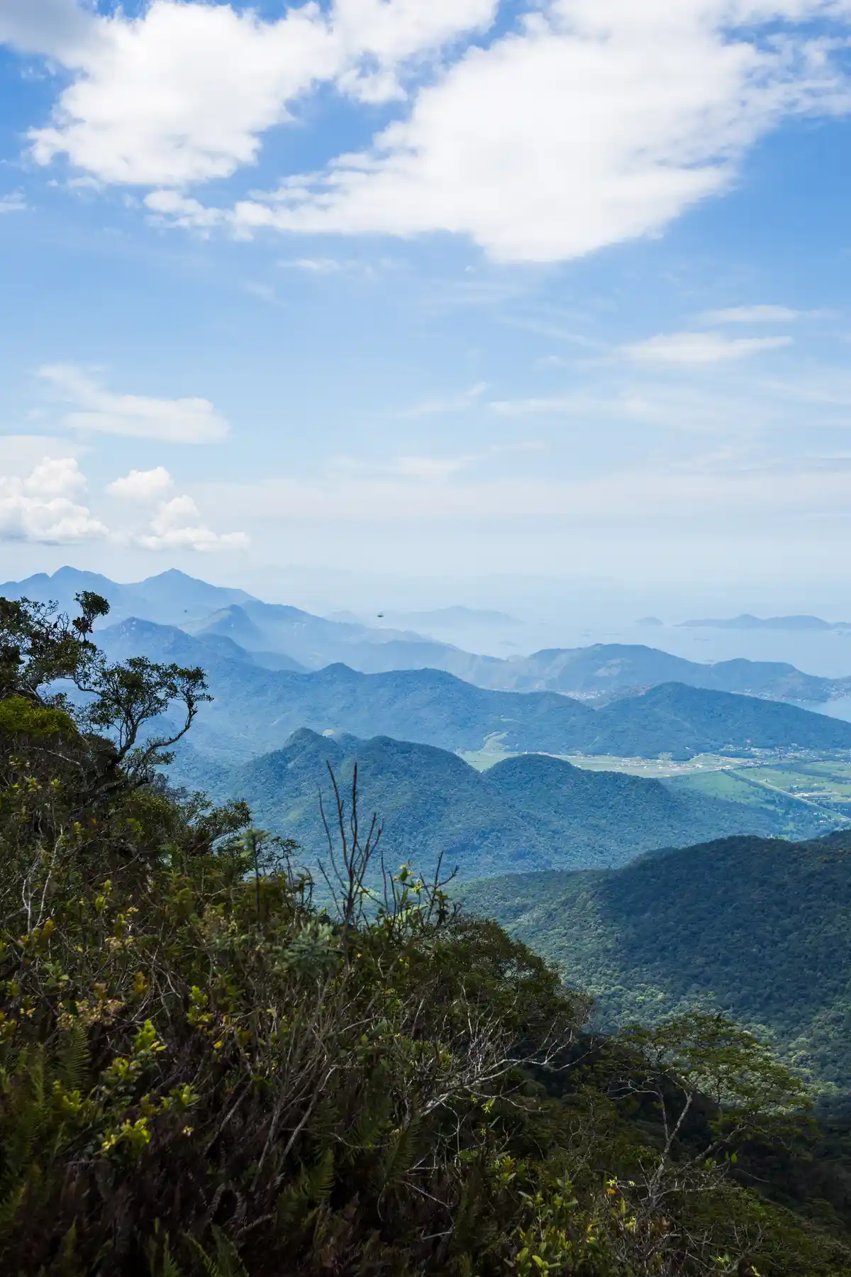
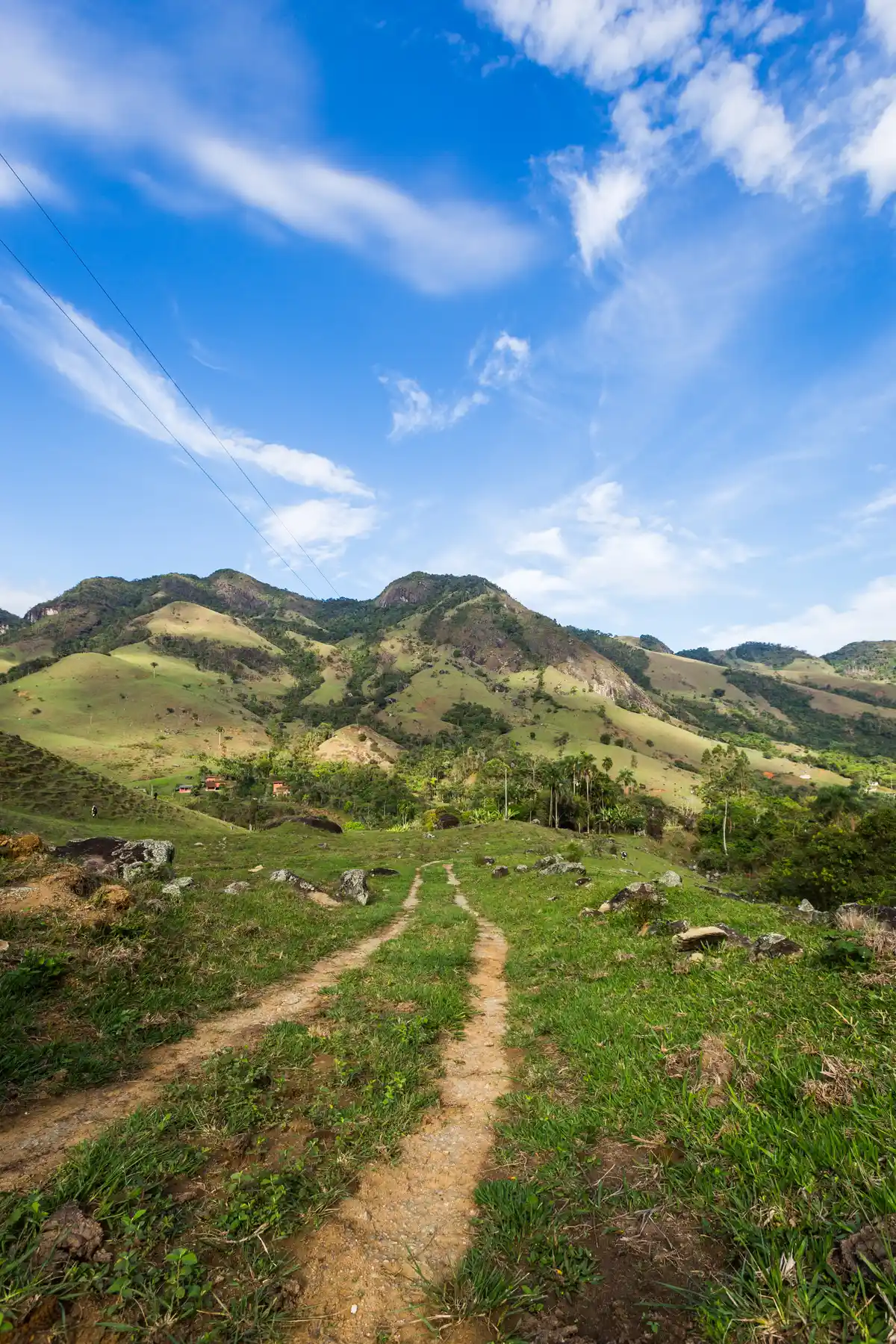
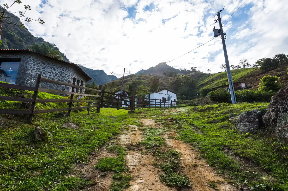
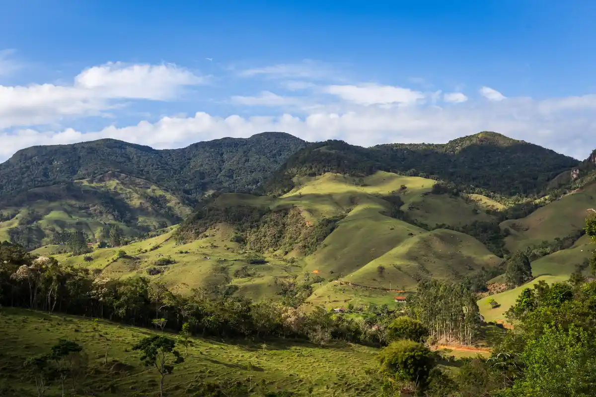
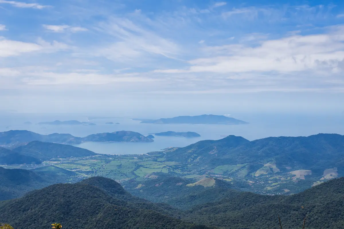
The Flat Stone is one of the most impressive attractions of the Volta das Águas de Rio Claro. From its height of 1,564m, it is possible to see the sea, with the beaches of the Mangaratiba region and even Ilha Grande, as well as the hills of the Cunhambebe State Park region, such as Pico do Papagaio. The trail also passes by the Eremitério Santo Elias and the Sebastião Marinho Waterfall.
Guidelines Extension: 17 Km
 Difficulty Hard
 Orientation Moderate
 Signaling Level Partial
 Conservation Good
 Risk Exposure Medium
 Sun Exposure Medium
 Hydration Point Available
 Climbing No climbing required
 Minimum Altitude: 555m Maximum Altitude: 1564m
 Negative Unevenness: 998m
 Positive Unevenness: 998m
Tips
Bring plenty of water and get ready to sweat! It’s possible to drive up to the Hermitage, where there is parking space for small vehicles, and then hike up to the summit of Pedra Chata on foot—saving about 10 km (round trip) of the dirt road that connects the Sebastião Marinho Waterfall to the Santo Elias Hermitage.
Map
Guidelines
Extension: 17 KmDifficulty: HardOrientation: ModerateSignaling Level: PartialMinimum Altitude: 555m Maximum Altitude: 1564m Negative Unevenness: 998m Positive Unevenness: 998m