Trilha da Figueira
Description
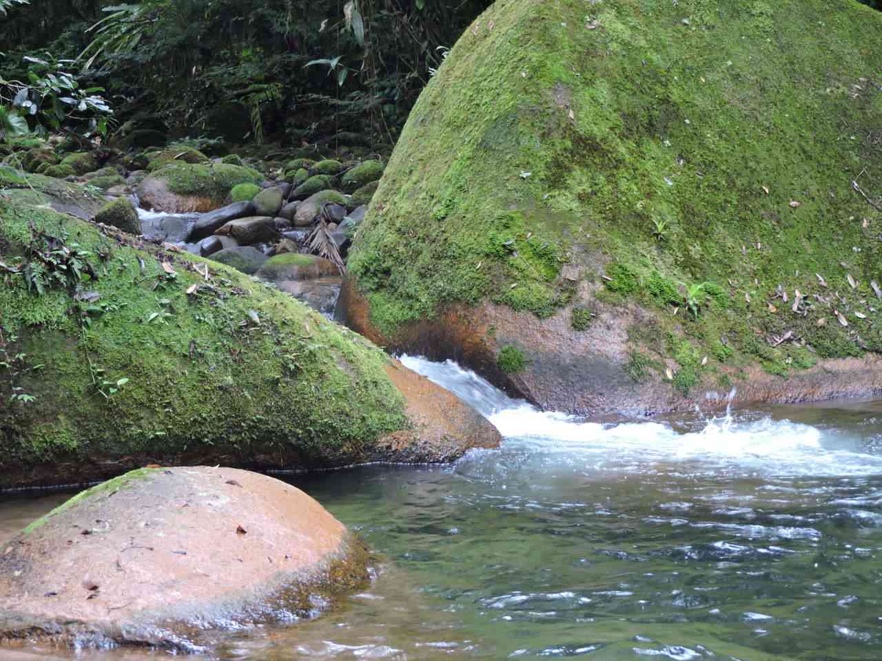
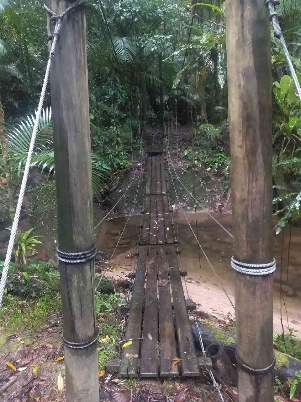
The route follows alongside the Ribeirão da Serra. At the end of the trail, there is a memorial honoring an exuberant fig tree (Ficus enormis), which fell due to the heavy rains of 2016.
Guidelines Extension: 3.42 Km
 Difficulty Easy
 Orientation Easy
 Signaling Level Partial
 Conservation Good
 Risk Exposure Low
 Sun Exposure Low
 Hydration Point Unavailable
 Climbing No climbing required
 Minimum Altitude: 69m Maximum Altitude: 104m
 Negative Unevenness: 43m
 Positive Unevenness: 43m
Tips
Not provided in this language
Map
Guidelines
Extension: 3.42 KmDifficulty: EasyOrientation: EasySignaling Level: PartialMinimum Altitude: 69m Maximum Altitude: 104m Negative Unevenness: 43m Positive Unevenness: 43m 