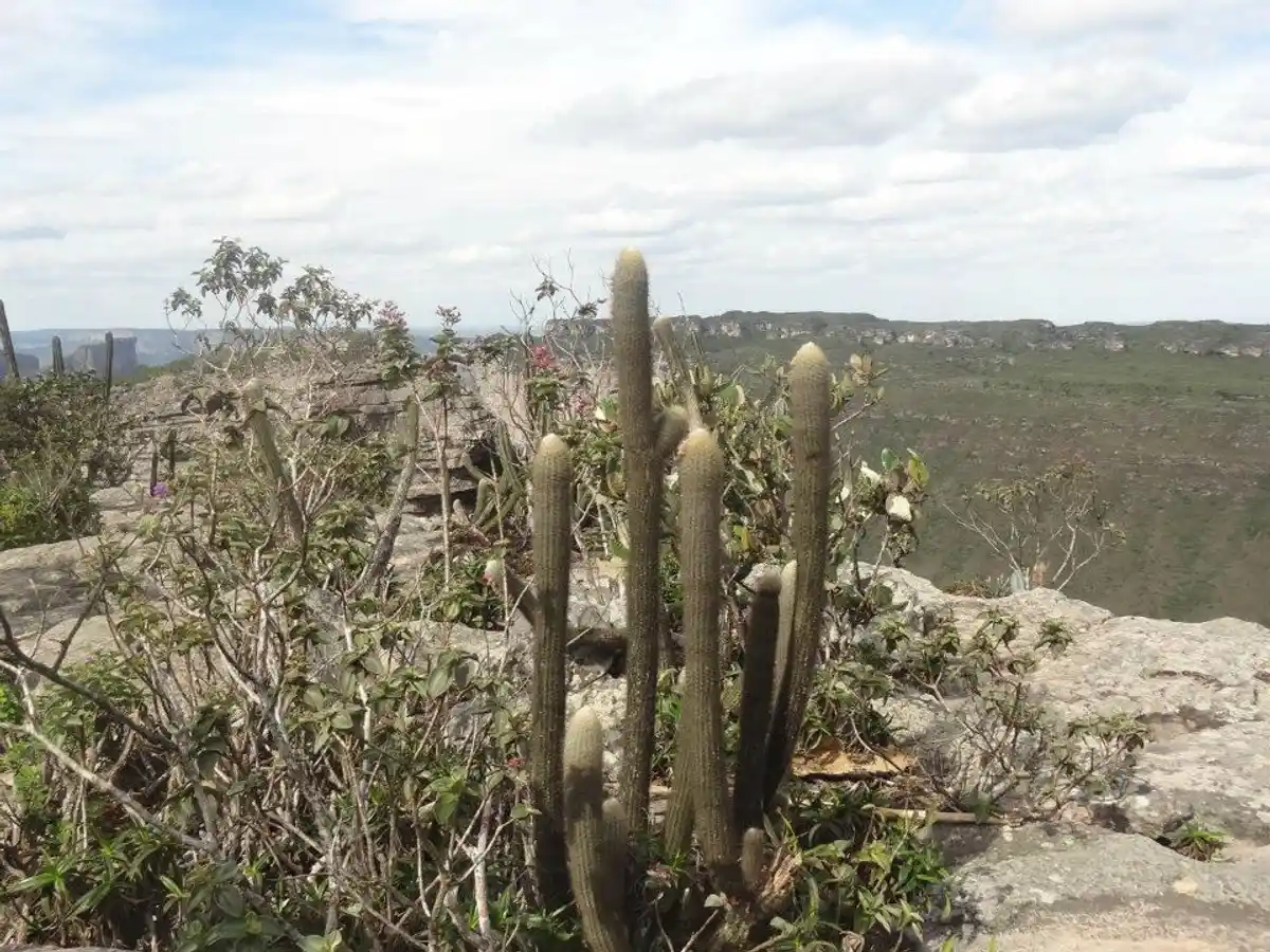
Trilha da Cachoeira da Fumaça por Cima
Description
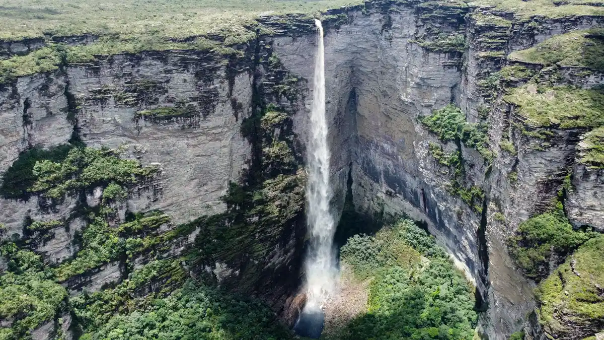
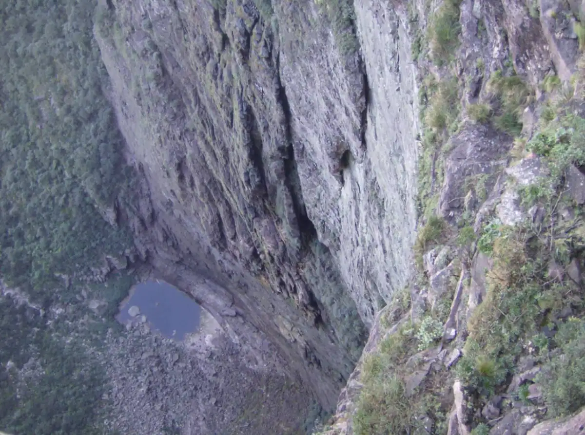
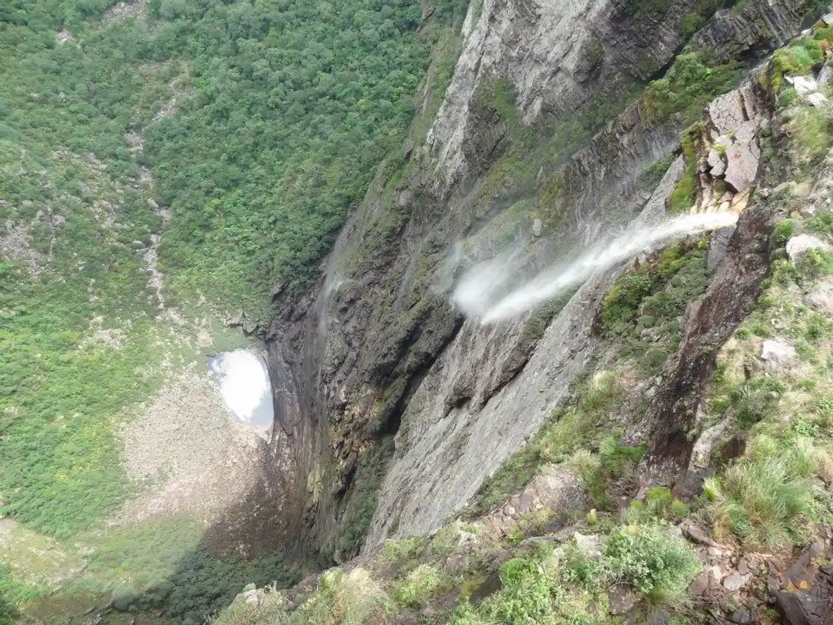
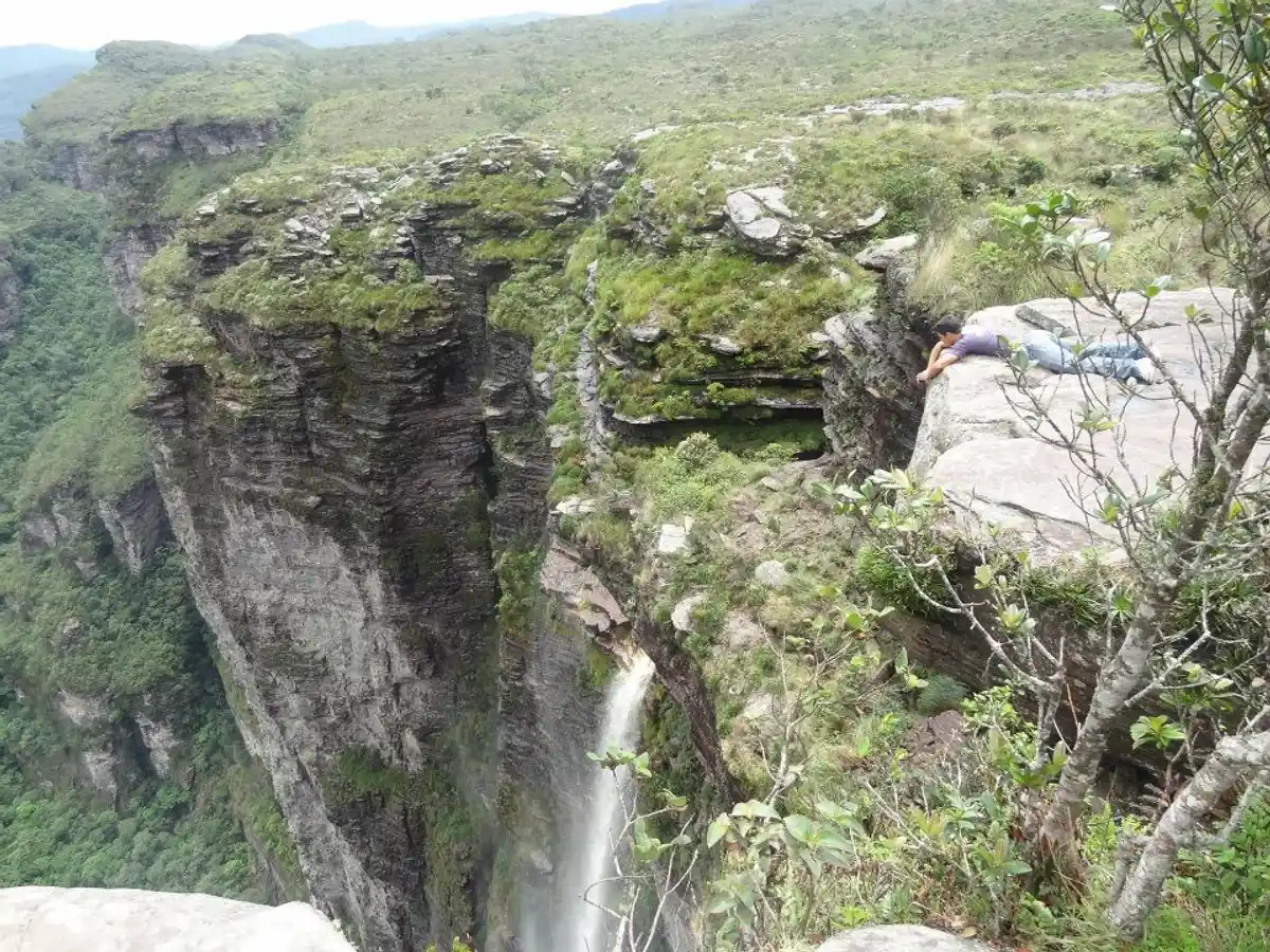
With a drop of 382m in height, the Smoke Waterfall earns the title of being one of the highest in Brazil and is also an important postcard of Chapada Diamantina. It can be visited from both above and below, with the upper route being less strenuous. Its name comes from the effect of the high drop, which makes the water spread through the air like smoke, potentially forming a rainbow depending on the lighting.
Guidelines Extension: 12 Km
 Difficulty Moderate
 Orientation Moderate
 Signaling Level Partial
 Conservation Good
 Risk Exposure Medium
 Sun Exposure High
 Hydration Point Available
 Climbing No climbing required
 Minimum Altitude: 1002m Maximum Altitude: 1325m
 Negative Unevenness: 245m
 Positive Unevenness: 502m
Tips
Boots, UVA shirt, and a hat are required, and it is recommended to bring a backpack with snacks and plenty of energy.
Map
Guidelines
Extension: 12 KmDifficulty: ModerateOrientation: ModerateSignaling Level: PartialMinimum Altitude: 1002m Maximum Altitude: 1325m Negative Unevenness: 245m Positive Unevenness: 502m