Trilha Cachoeira do Fundão
Description
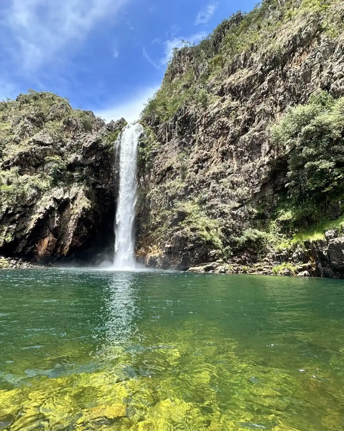
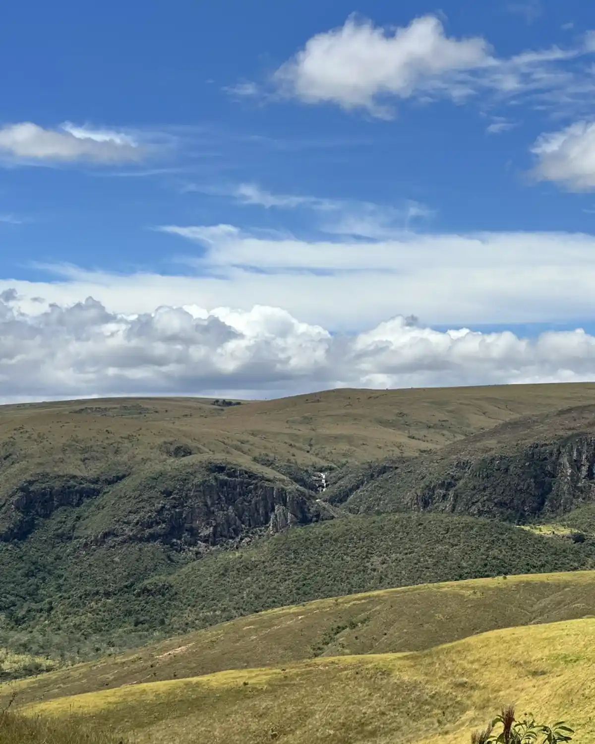
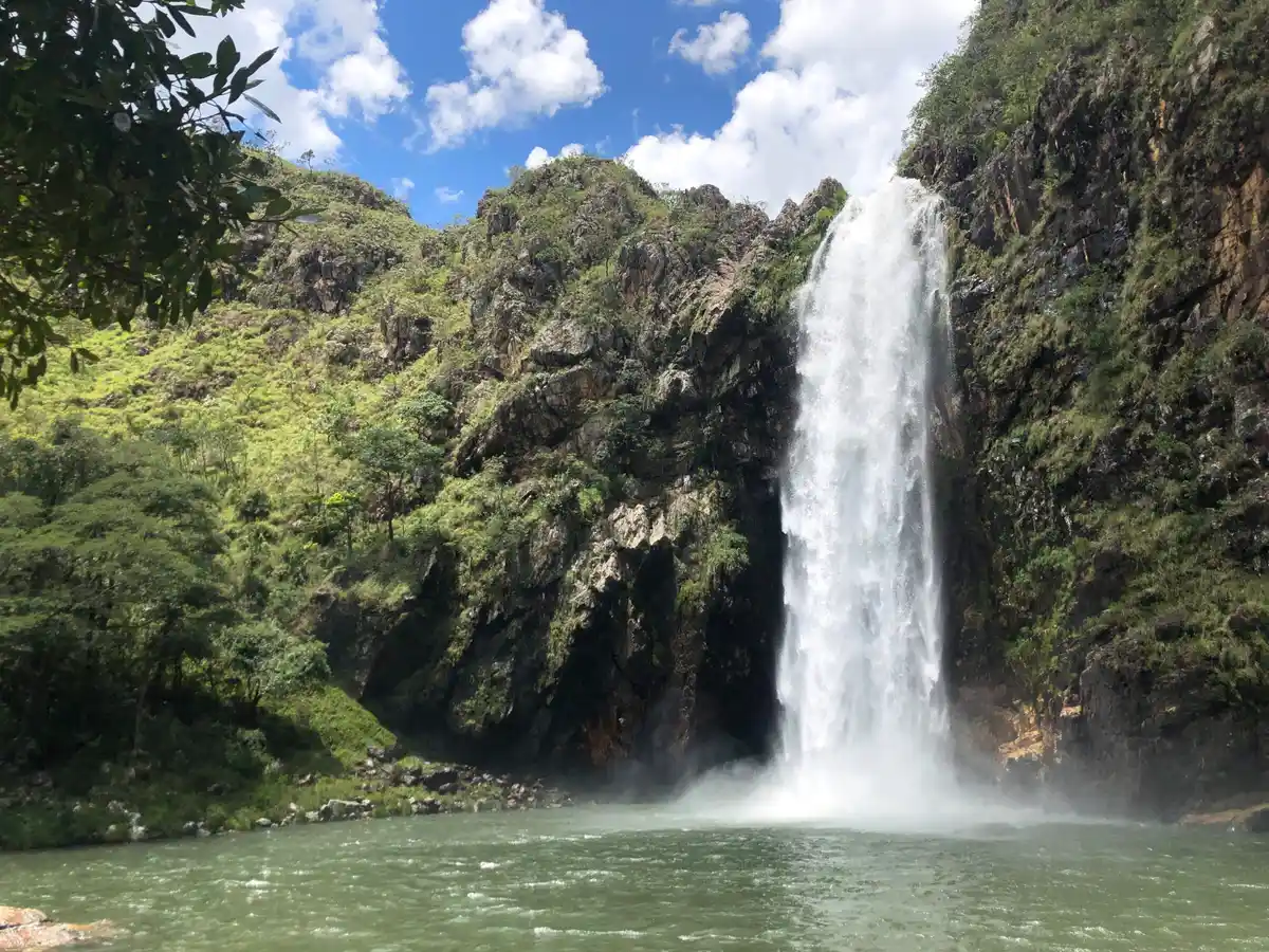
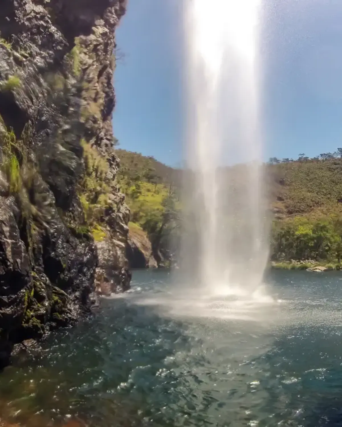
The Cachoeira do Fundão is considered one of the most beautiful waterfalls in the Serra da Canastra, in the Parque Nacional da Serra da Canastra, in the upper part, near the municipality of São Roque de Minas, the base town for most visitors exploring the Canastra. The Serra da Canastra is famous for its biodiversity, its animals, campos rupestres, imposing hills, and for being the cradle of the Rio São Francisco. For this reason, this waterfall also carries environmental and historical importance.
Guidelines Extension: 14 Km
 Difficulty Moderate
 Orientation Easy
 Signaling Level Partial
 Conservation Good
 Risk Exposure Low
 Sun Exposure Medium
 Hydration Point Available
 Climbing No climbing required
 Minimum Altitude: 760m Maximum Altitude: 1312m
 Negative Unevenness: 767m
 Positive Unevenness: 491m
Tips
Hiring 4x4 vehicles is recommended for the trip from São Roque de Minas to the entrance of the Parque Nacional da Serra da Canastra, where the hike of about 5 km to the access gate to the Cachoeira begins. From the gate to the Cachoeira, another 1.5 km of trail.
Map
Guidelines
Extension: 14 KmDifficulty: ModerateOrientation: EasySignaling Level: PartialMinimum Altitude: 760m Maximum Altitude: 1312m Negative Unevenness: 767m Positive Unevenness: 491m 