Trilha Cachoeira das Ostras
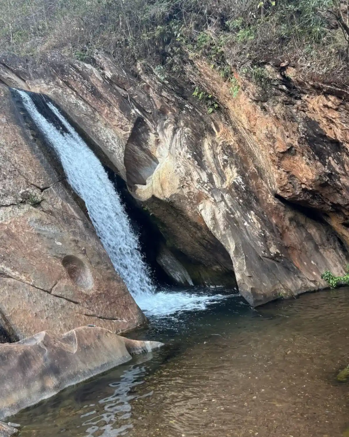
Description
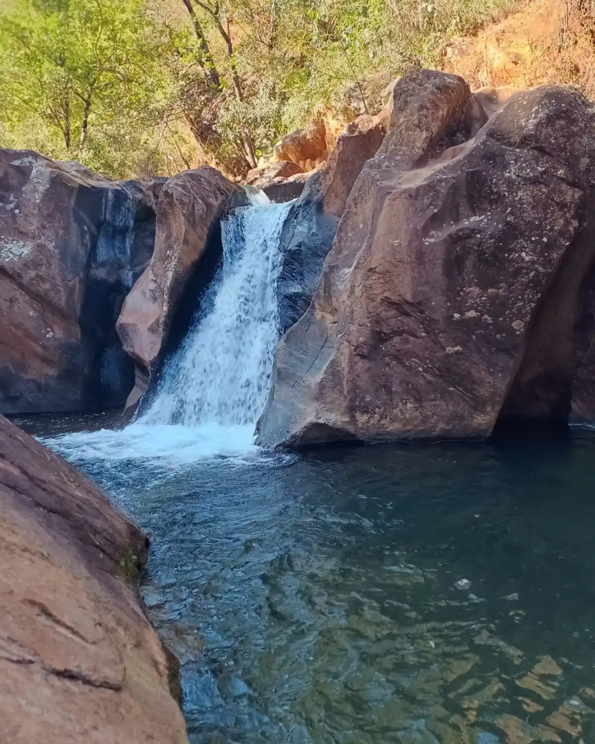
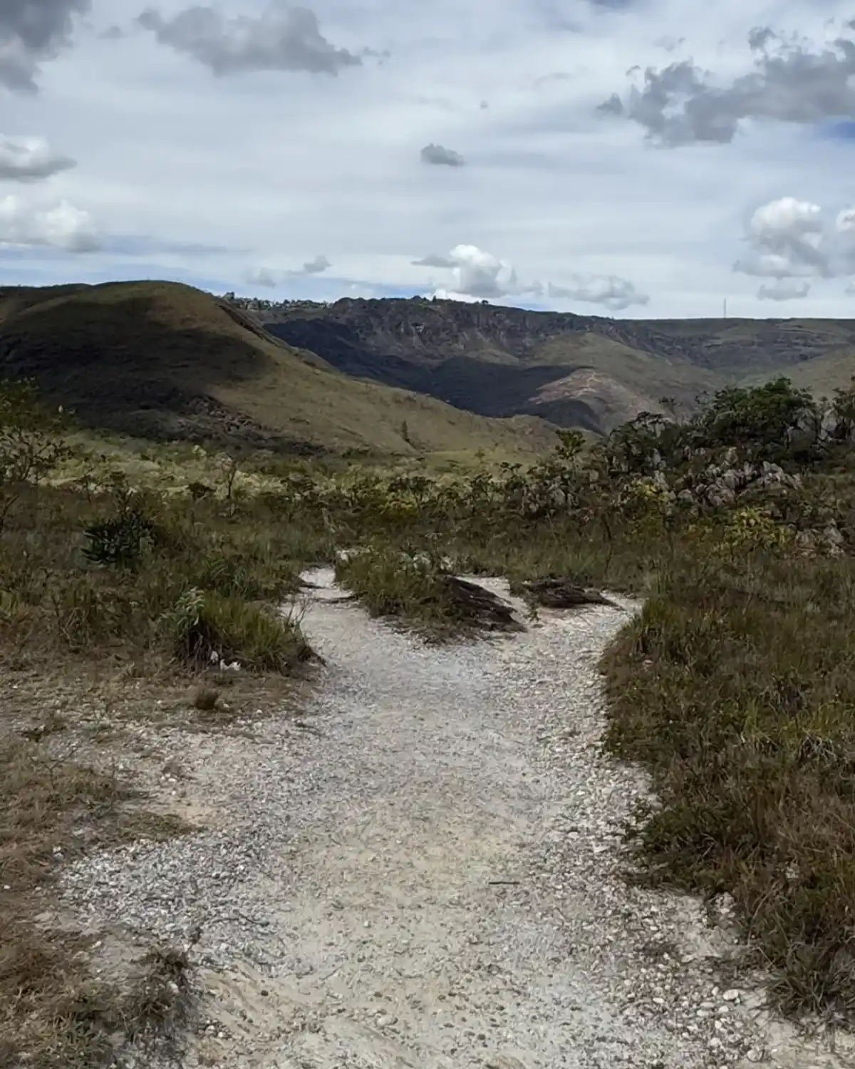
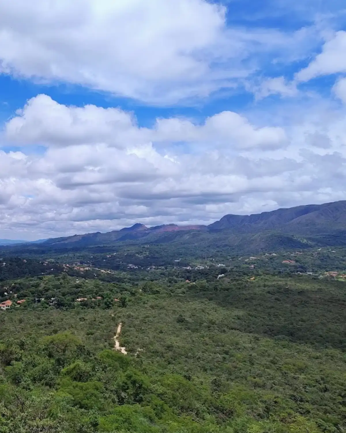
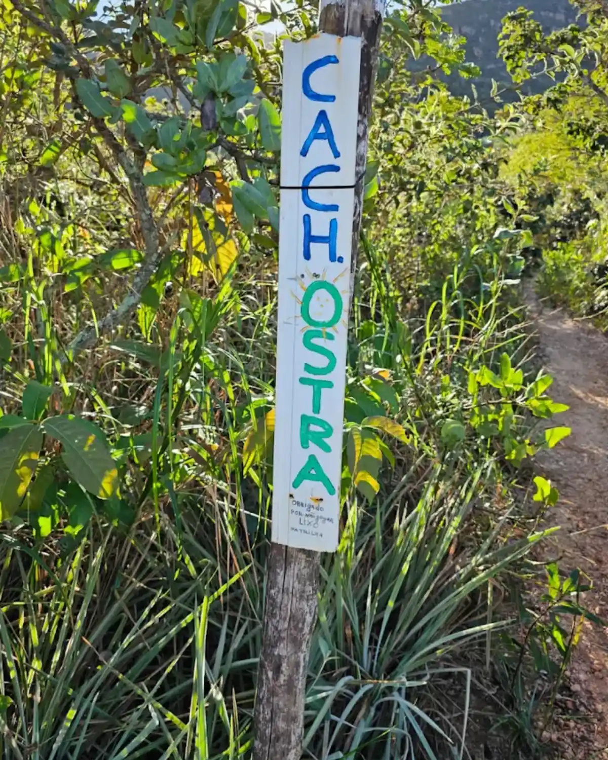
The Cachoeira das Ostras is located at the foot of the Serra da Calçada and Serra da Moeda, in the district of Casa Branca, which belongs to the municipality of Brumadinho, MG, and the trail to it passes through the Parque Estadual da Serra do Rola-Moça; it is a hike that requires good physical fitness, with steep sections and stretches over rocks, rewarding you with the natural beauty of the region. The trail takes you through a transition zone between the Cerrado and the Atlantic Forest, with the chance to experience the connection between these biomes by observing trees such as candeias and quaresmeiras along the way.
Guidelines Extension: 7 Km
 Difficulty Easy
 Orientation Moderate
 Signaling Level Partial
 Conservation Good
 Risk Exposure Medium
 Sun Exposure High
 Hydration Point Available
 Climbing There is
 Minimum Altitude: 934m Maximum Altitude: 1145m
 Negative Unevenness: 366m
 Positive Unevenness: 452m
Tips
It requires excellent physical fitness because of the steep sections and the hard climb, and there are moments of exposure to heights. Hiking experience is recommended.
Map
Guidelines
Extension: 7 KmDifficulty: EasyOrientation: ModerateSignaling Level: PartialMinimum Altitude: 934m Maximum Altitude: 1145m Negative Unevenness: 366m Positive Unevenness: 452m 