Travessia das Sete Quedas
Description
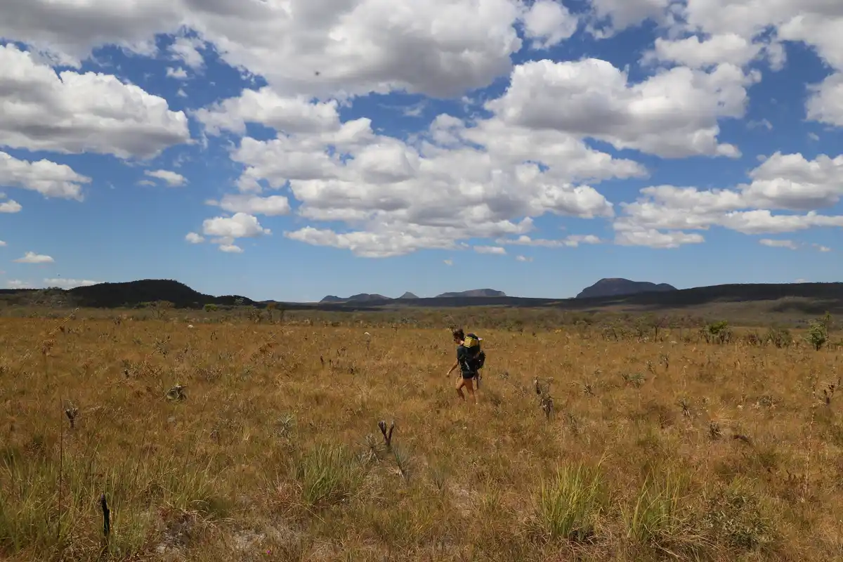
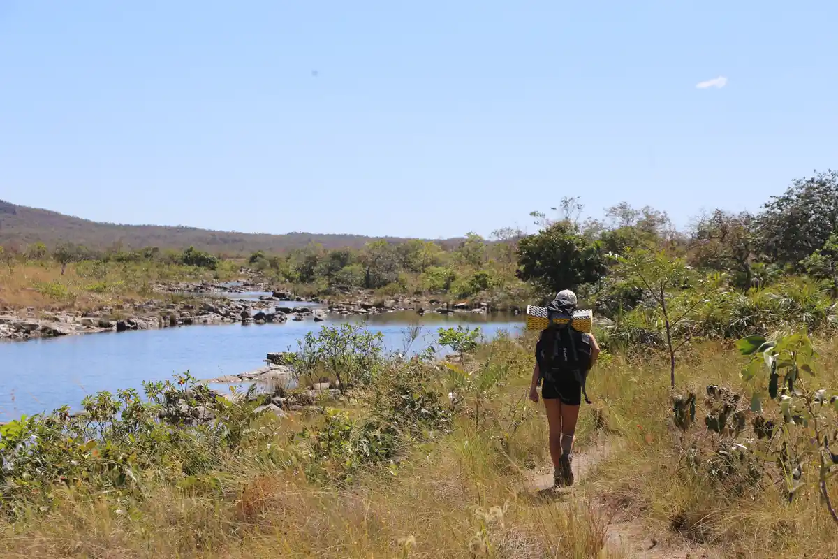
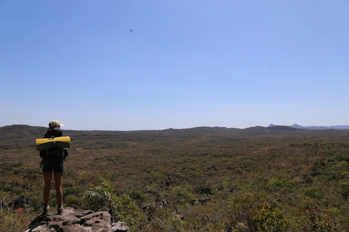
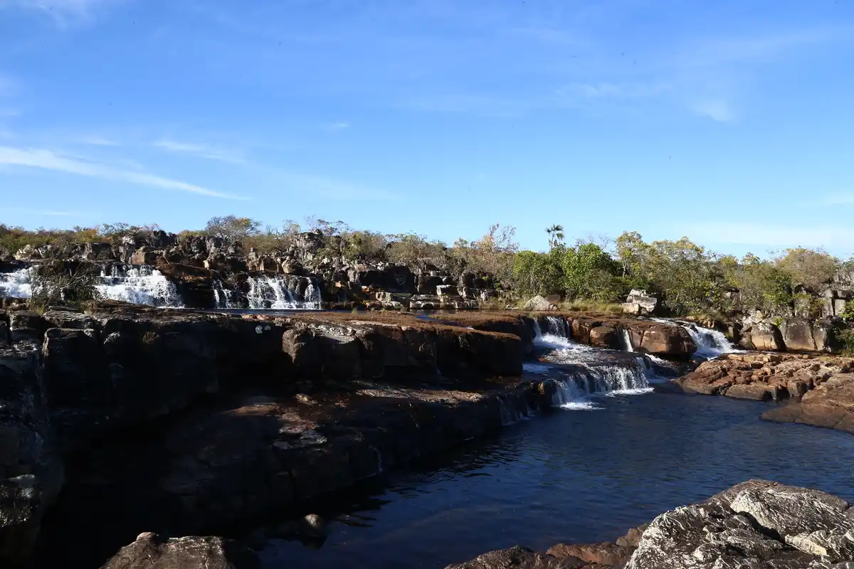
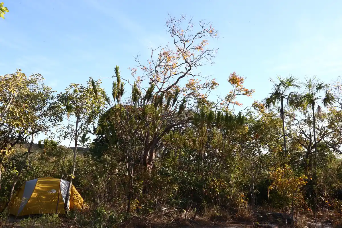
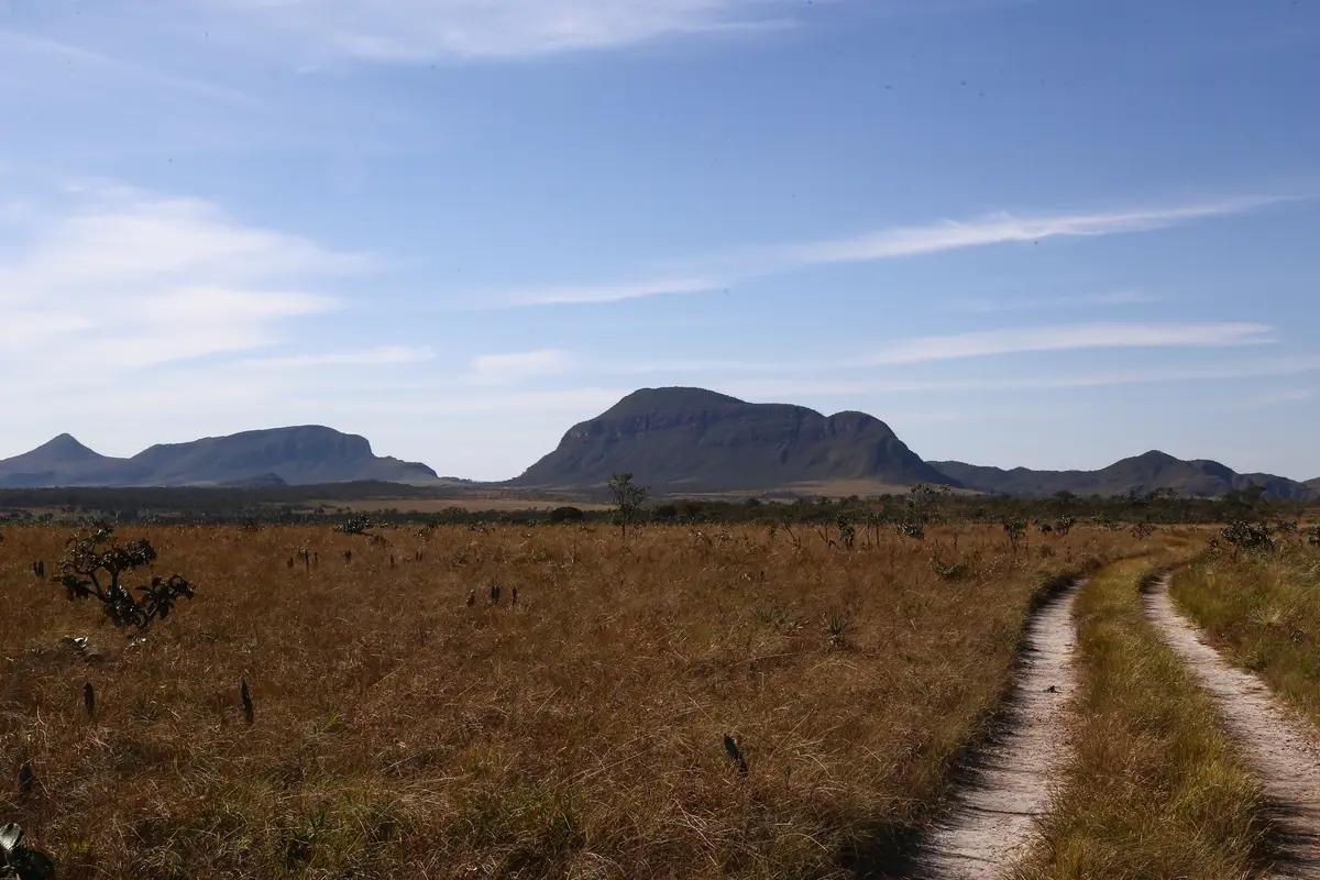
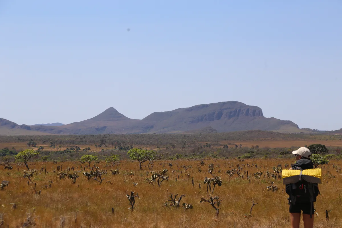
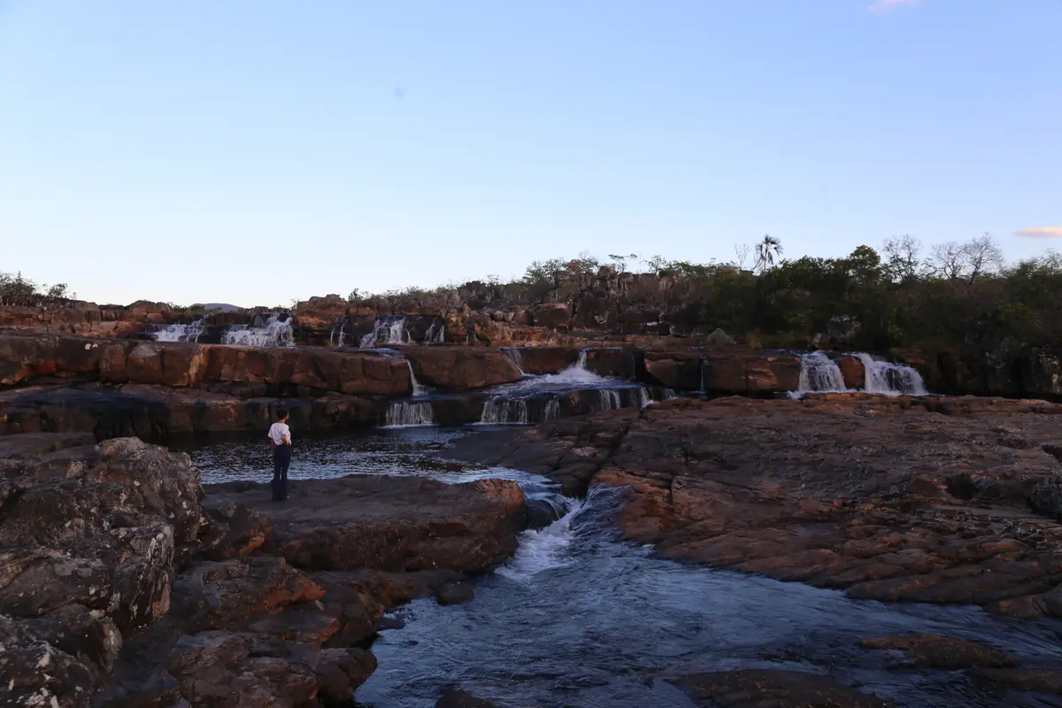
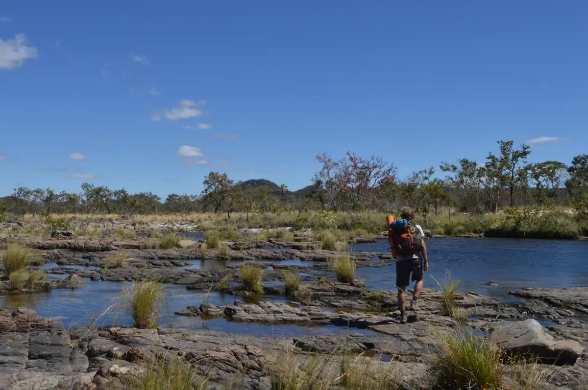
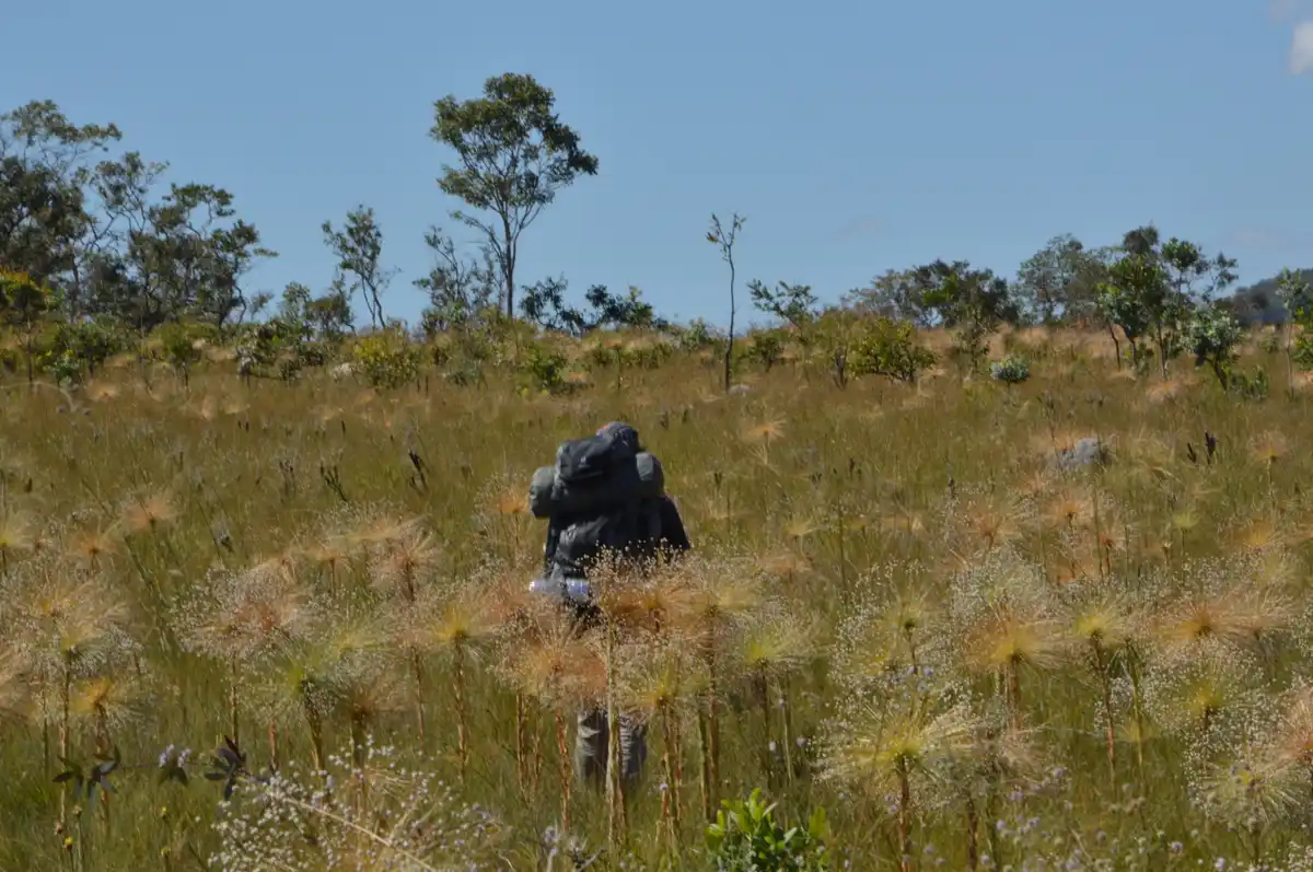
The Crossing of the Seven Falls is a true immersion in the Cerrado, which can be done in 1, 2, or 3 days. The trail passes through stunning landscapes, offering visitors a more isolated experience compared to other trails in the National Park. The first kilometers of the route overlap with the trails of the Canyons and Waterfalls of the Cariocas. After approximately 4 km of travel, visitors will find a fork for the crossing. From this point on, it is necessary to walk 1.5 km to Canyon I. With another 3 km of walking, you will reach the Boa Sorte campsite, near the first crossing of the Rio Preto, at Poço da Capivara – an excellent spot for swimming. From there, it is necessary to walk another 9 km, passing through areas of rocky fields, veredas, and preserved strictu sensu Cerrado until reaching the Seven Falls campsite — a location close to the waterfalls that give the crossing its name. Continuing along the route, visitors must cross the Rio Preto once more, walking another 6 km to the end of the trail, where rocky and slightly steeper terrain can be found. In the end, you will exit onto the GO-239 highway, where transportation or rides will be needed to return to the village of São Jorge (12 km) or Alto Paraíso de Goiás (24 km). The trail is open to the public only from June to November. There is a possibility of visitation in November, but access will depend on the assessment of the water level of the Rio Preto, considering that November marks the beginning of the rainy season in the region. Photos by Vicente Leal E. Fernandez.
Guidelines Extension: 23 Km
 Access status: Restricted
 Difficulty Hard
 Orientation Easy
 Signaling Level Complete
 Conservation Excellent
 Risk Exposure Low
 Sun Exposure High
 Hydration Point Available
 Climbing No climbing required
 Minimum Altitude: 913m Maximum Altitude: 1220m
 Negative Unevenness: 161m
 Positive Unevenness: 347m
Tips
Not provided in this language
Map
Guidelines
Extension: 23 KmDifficulty: HardOrientation: EasySignaling Level: CompleteMinimum Altitude: 913m Maximum Altitude: 1220m Negative Unevenness: 161m Positive Unevenness: 347m