Travessia da Cachoeira da Fumaça por Baixo
Description
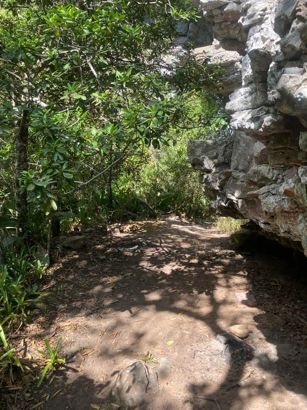
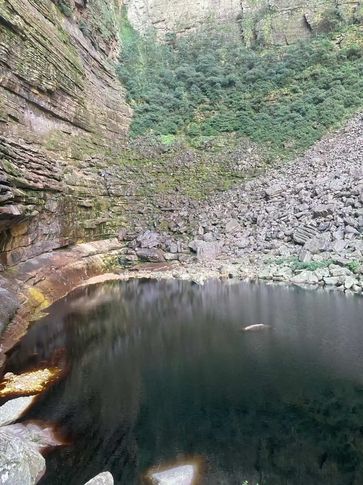
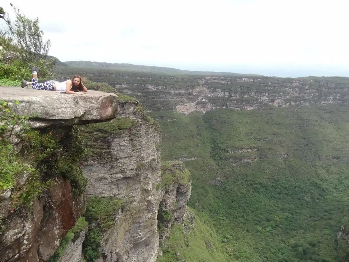
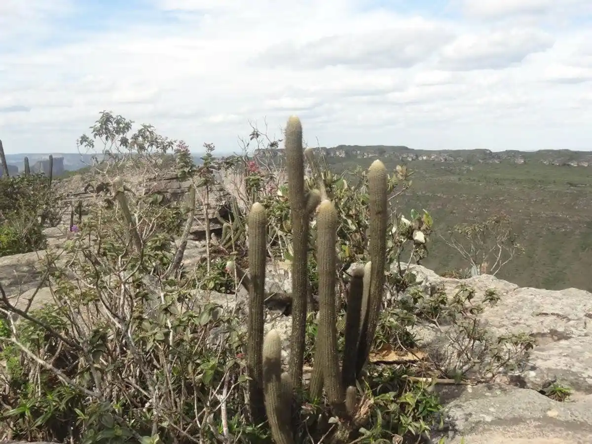
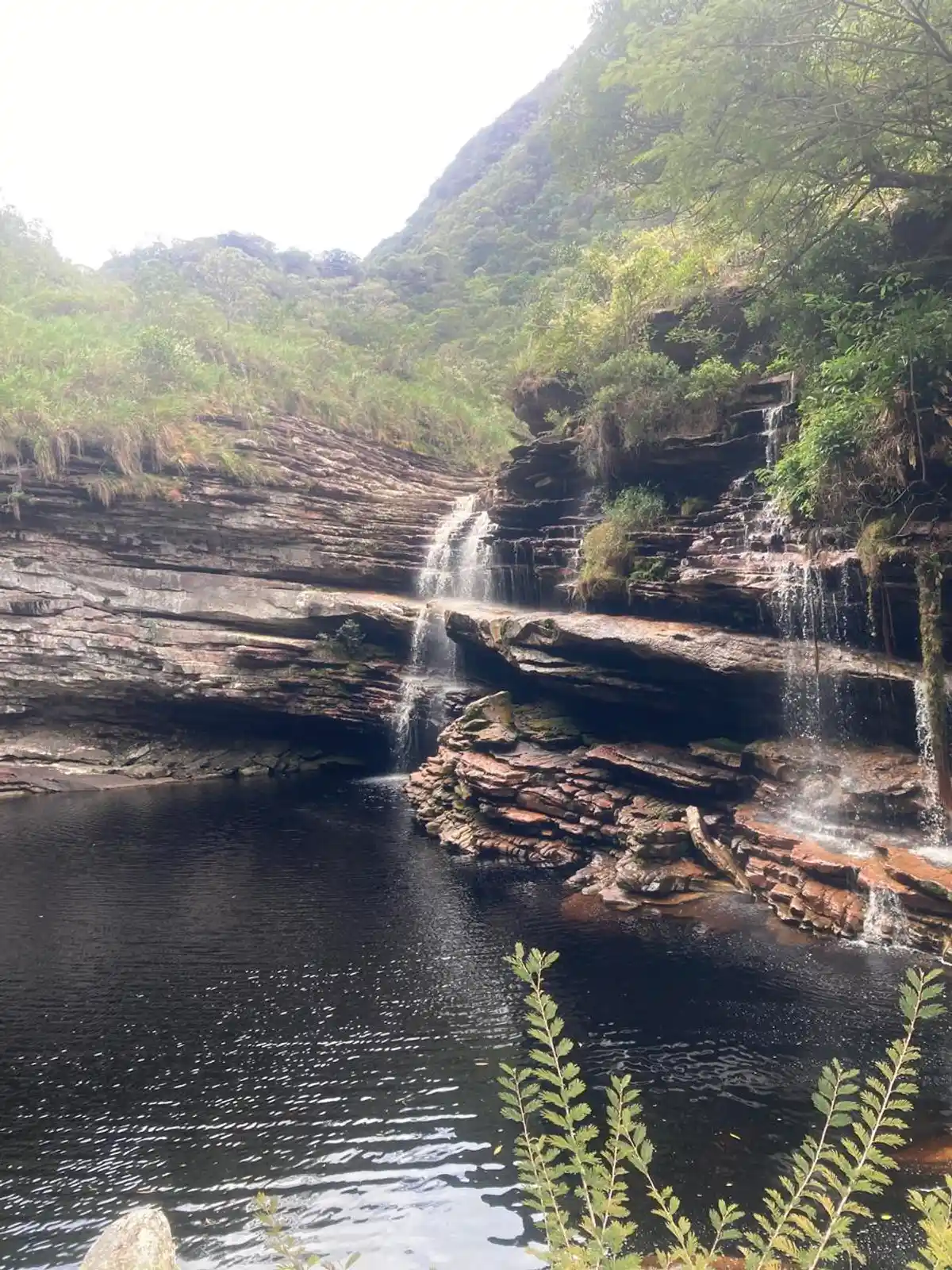
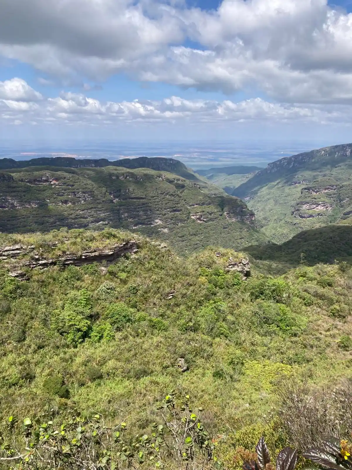
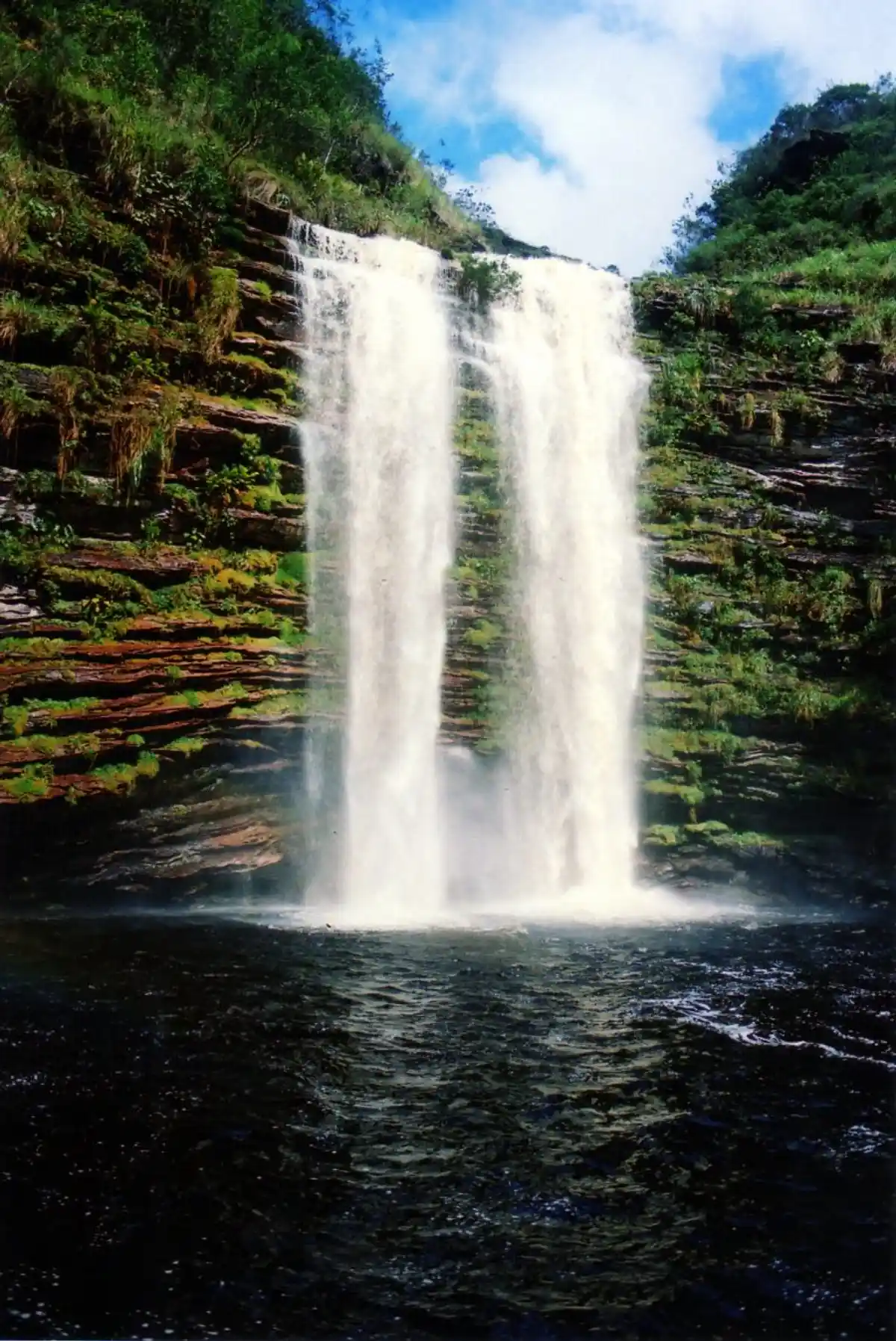
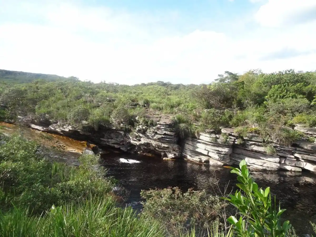
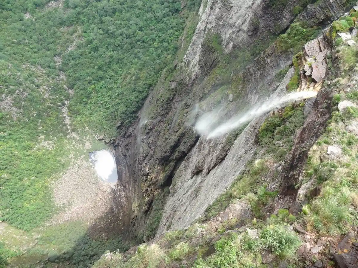
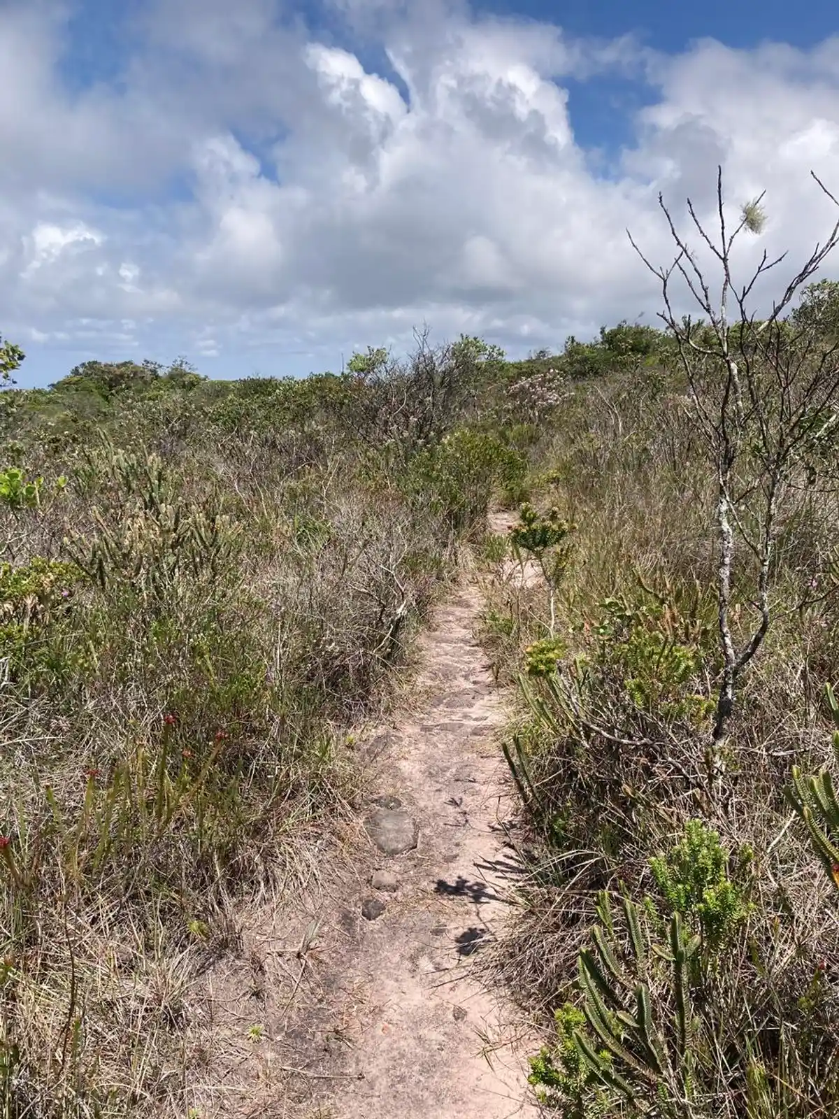
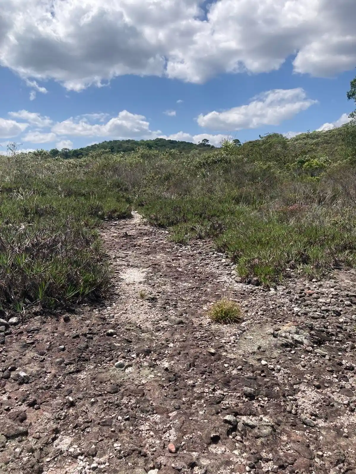
The Cachoeira da Fumaça trail from below, in the Chapada Diamantina, is a challenging 3- to 4-day traverse, leaving from the Vale do Capão and heading toward Lençóis, passing the Palmital and Capivara waterfalls until reaching the base of the Fumaça. It requires good physical fitness, and the overnight stays are wild camping. It is a much more technical and wild hike than the trail from above, with sections of Atlantic Forest and old prospecting mines. It is one of the most beautiful traverses in the region and well worth it. The connection with nature on this hike is unique. The Cachoeira da Fumaça has a 380-meter drop, the tallest in Brazil. Because of the height of its drop, the water tends to evaporate before reaching the bottom, in a constant mist, which explains the name it was given: FUMAÇA (smoke).
Guidelines Extension: 38 Km
 Difficulty Hard
 Orientation Moderate
 Signaling Level Partial
 Conservation Good
 Risk Exposure Medium
 Sun Exposure High
 Hydration Point Available
 Climbing There is
 Minimum Altitude: 419m Maximum Altitude: 1390m
 Negative Unevenness: 1754m
 Positive Unevenness: 1279m
Tips
All overnight stays are wild camping. So you need to carry all your gear, including cooking equipment, food, water, and clothes. Hiring a guide or a local trail guide is highly recommended because of the long hike and the possibility of getting lost if you don't know the region. Be in good physical shape. Experience with long hikes is recommended, both physical and mental. This trail should not be done during rainy periods (summer), due to the risk of flash floods and of even more slippery rocks, which increases the risk of accidents.
Map
Guidelines
Extension: 38 KmDifficulty: HardOrientation: ModerateSignaling Level: PartialMinimum Altitude: 419m Maximum Altitude: 1390m Negative Unevenness: 1754m Positive Unevenness: 1279m