Gruta Santo Antônio + Cachoeira
Description
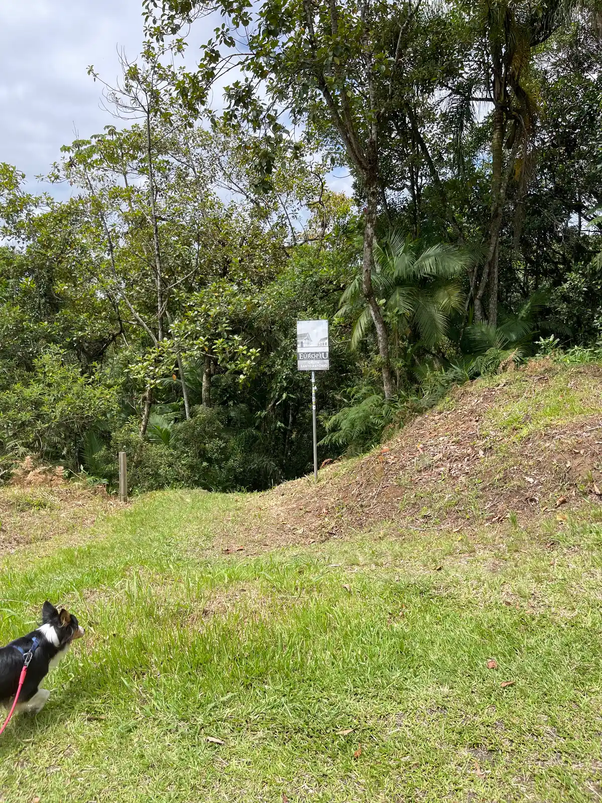
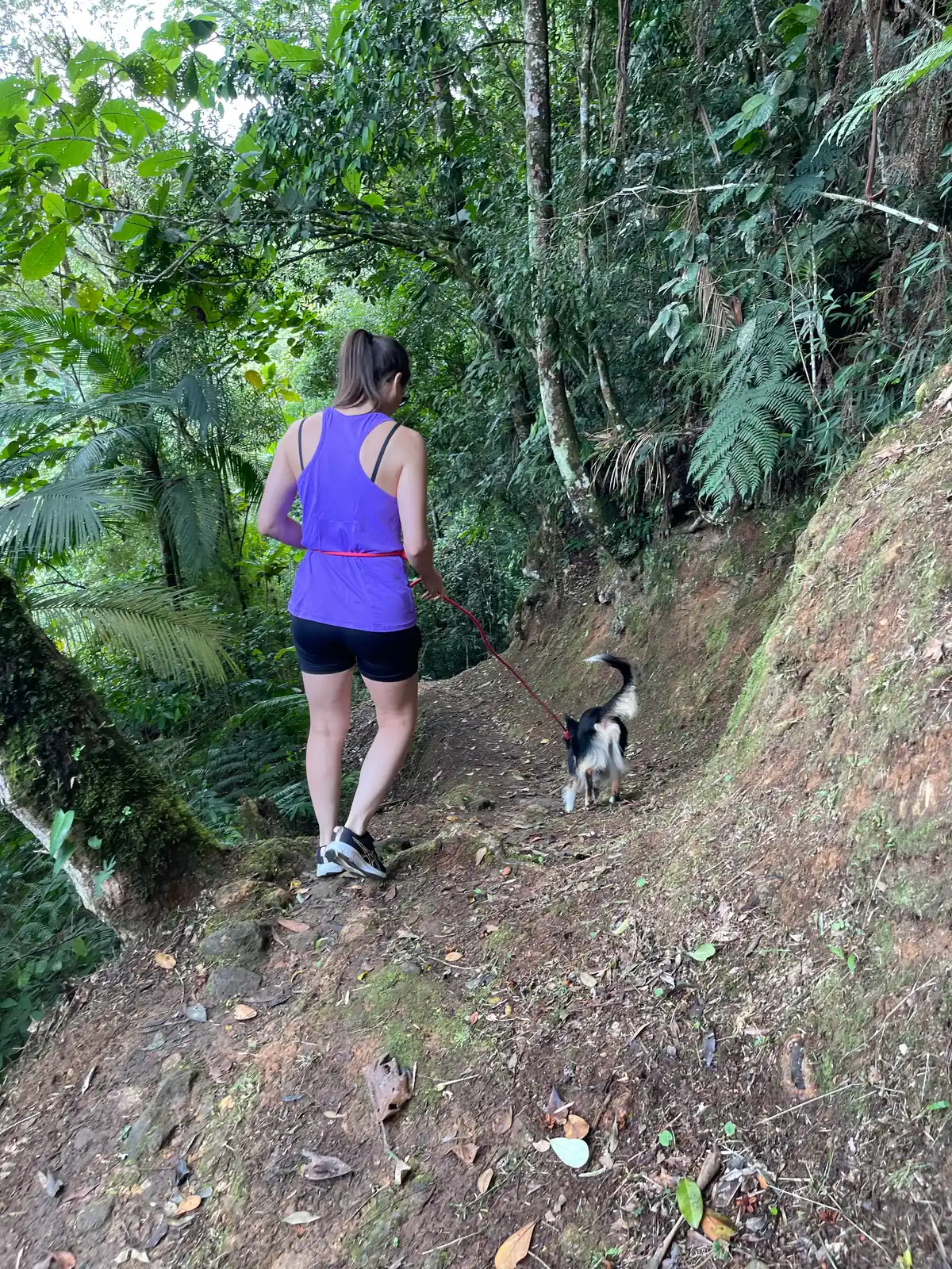
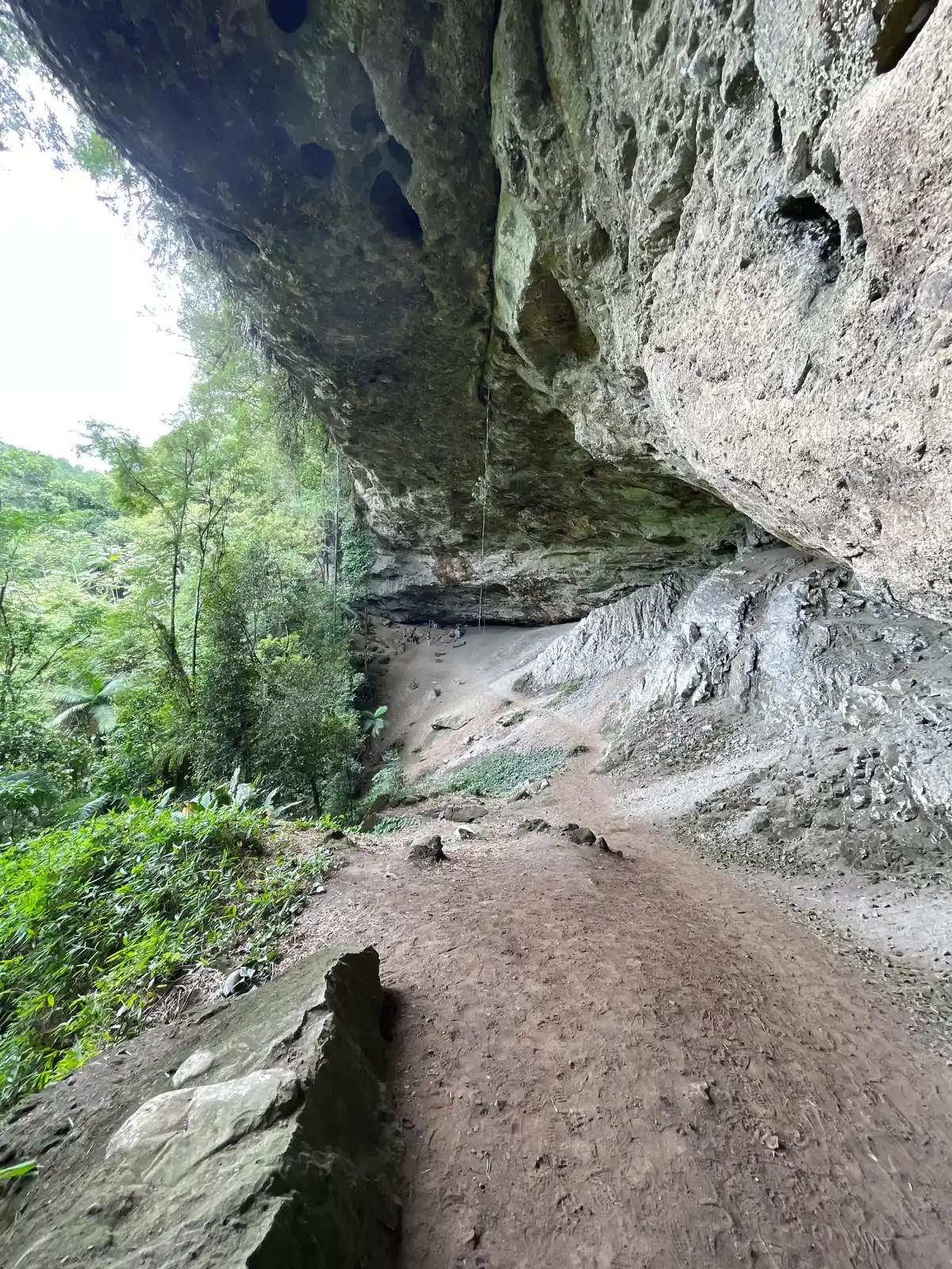
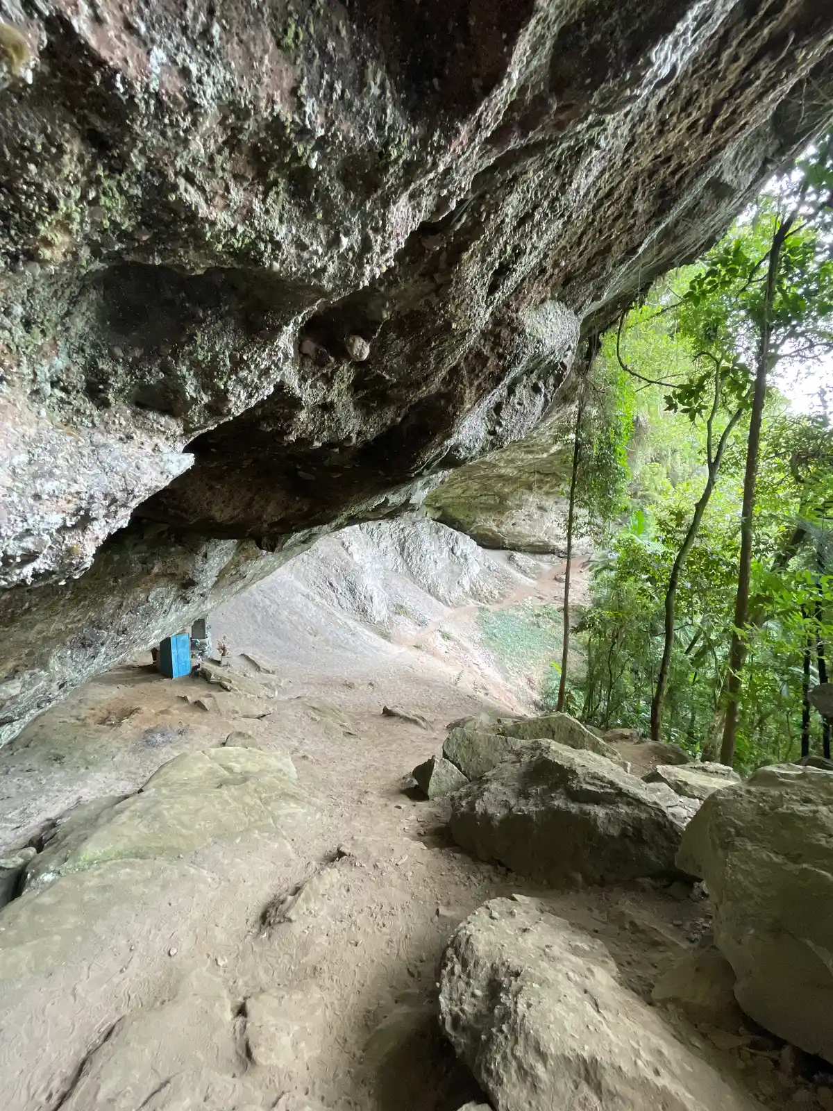
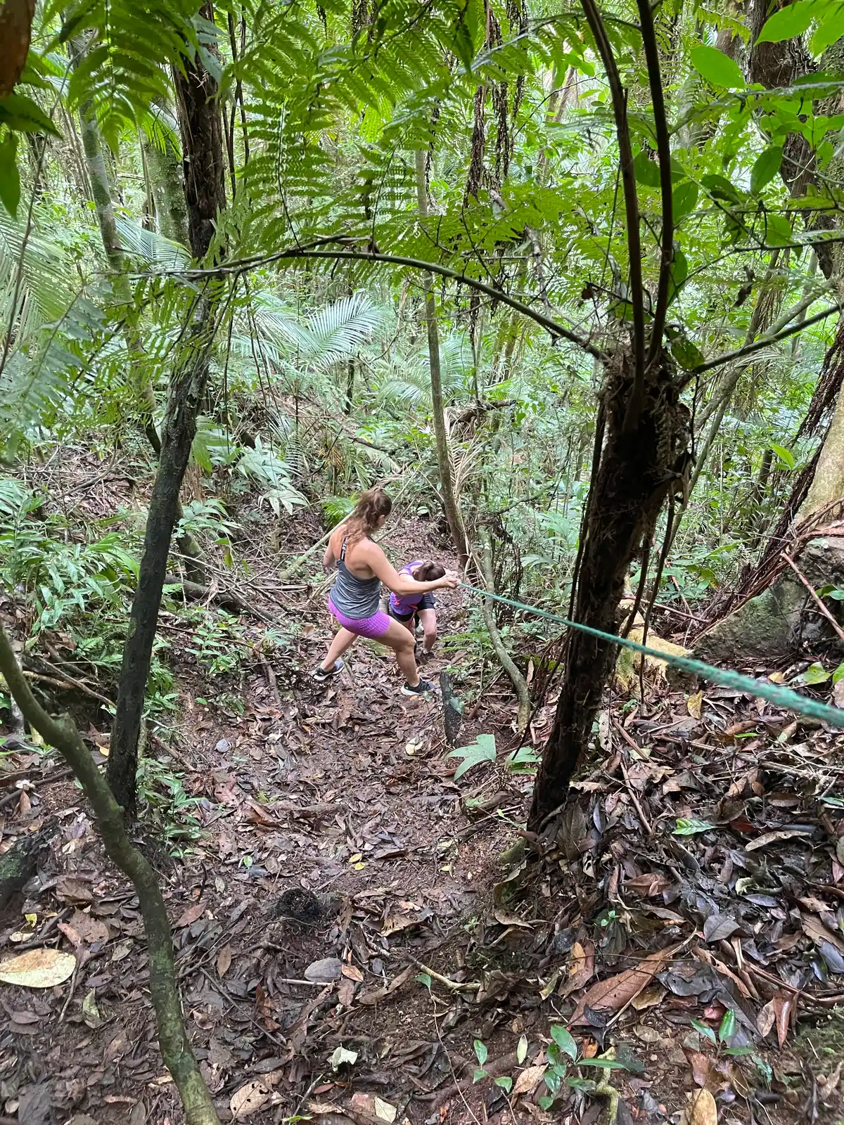
A short, easily accessible trail to the Gruta Santo Antônio. The trail leading to the waterfall is short but more challenging, and to reach it you rely on ropes and natural holds for support (it counts as scrambling). The distance recorded by the GPS does not match the actual distance of the trail.
Guidelines Extension: 7.47 Km
 Difficulty Easy
 Orientation Easy
 Signaling Level Partial
 Conservation Good
 Risk Exposure Medium
 Sun Exposure Low
 Hydration Point Unavailable
 Climbing There is
 Minimum Altitude: 637.91m Maximum Altitude: 681m
 Negative Unevenness: 0m
 Positive Unevenness: 0m
Tips
Not provided in this language
Map
Guidelines
Extension: 7.47 KmDifficulty: EasyOrientation: EasySignaling Level: PartialMinimum Altitude: 637.91m Maximum Altitude: 681m Negative Unevenness: 0m Positive Unevenness: 0m 