Parque Estadual Itapetinga
Atibaia, São Paulo
Save
Description
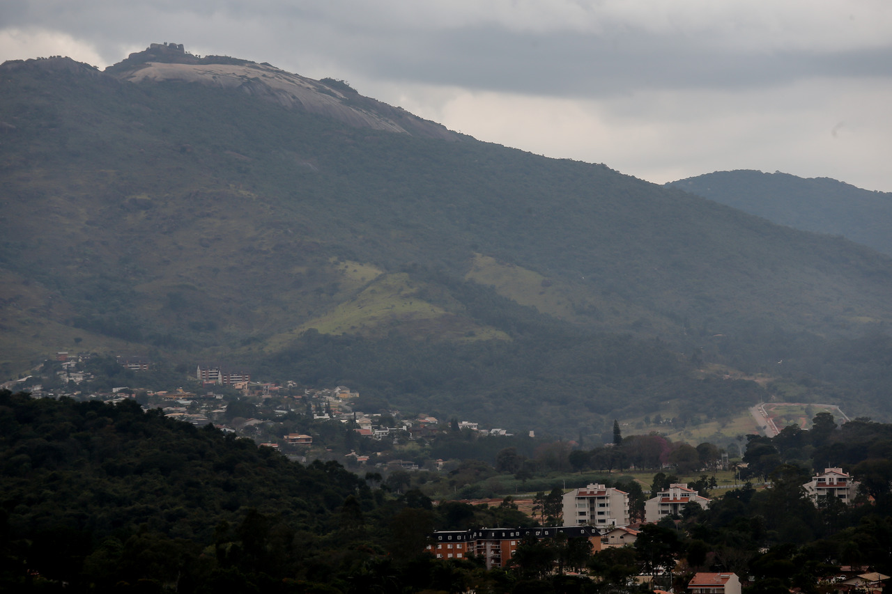
Parque Estadual do Itapetinga, created in 2010 by State Decree No. 55.662/2010, covers the municipalities of Atibaia, Bom Jesus dos Perdões, Nazaré Paulista, and Mairiporã, and aims to protect biodiversity and water resources, as well as the forest remnants of the Serra de Itapetinga. The Serra do Itapetinga, together with the Serra do Itaberaba, was identified on the map for increasing connectivity in the State of São Paulo, developed in 2006 through studies by the Biota/FAPESP Program, as an important ecological corridor between the Serra da Cantareira and the Serra da Mantiqueira.
Additional Information
- Total Area - 101.91km²
