Volta das Águas de Rio Claro (Caminhada | Cavalgada)
About the trail
- Difficulty:
Moderate - Extension:222.69 km

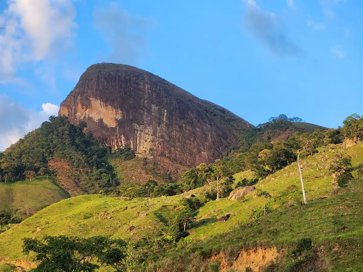
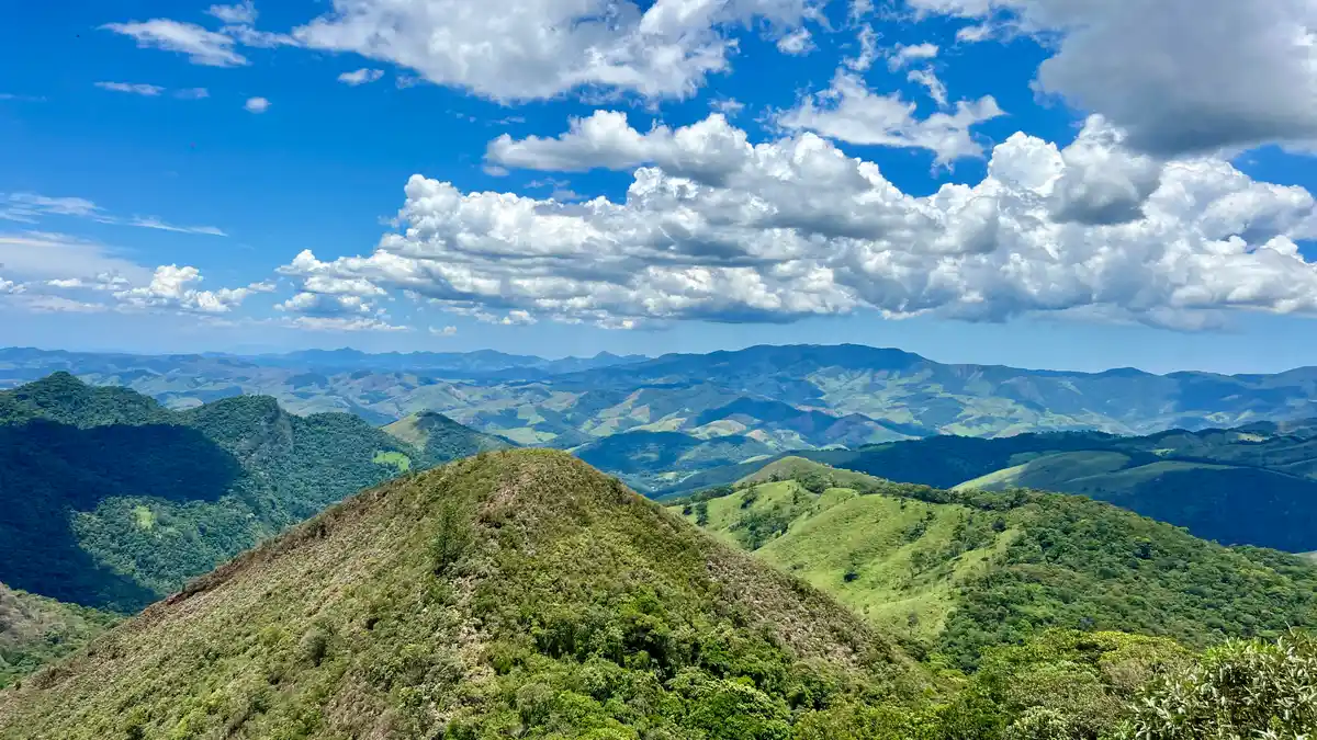
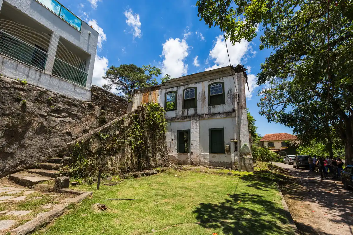
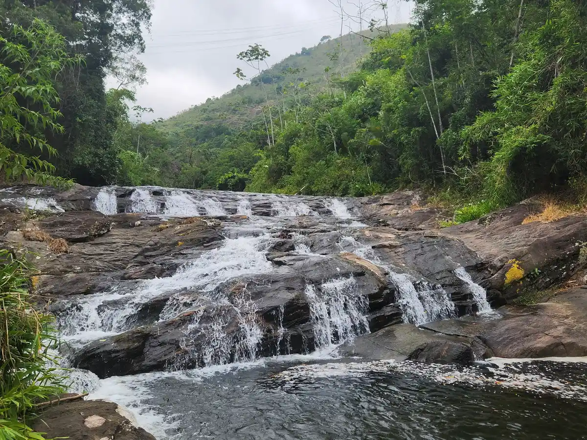
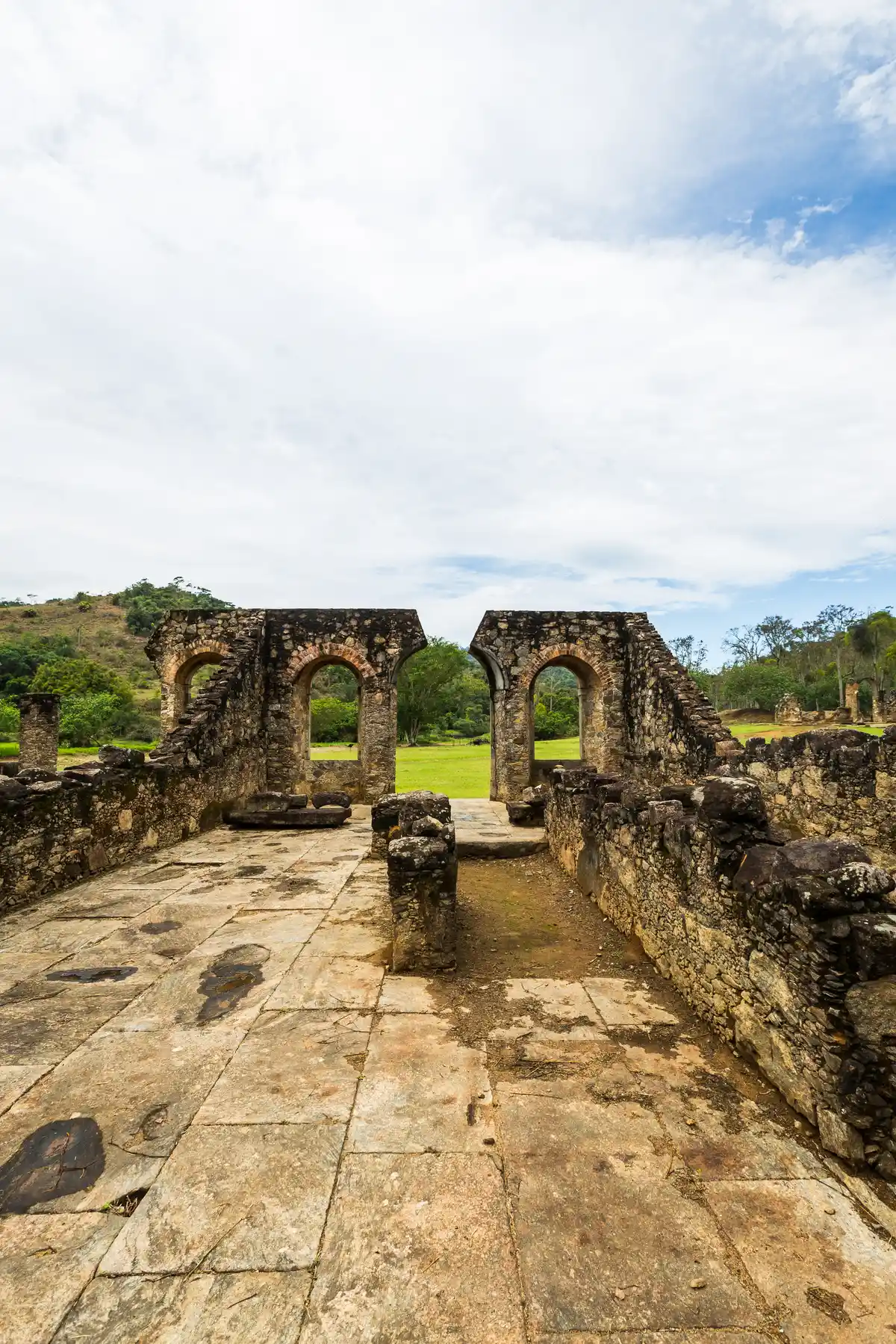
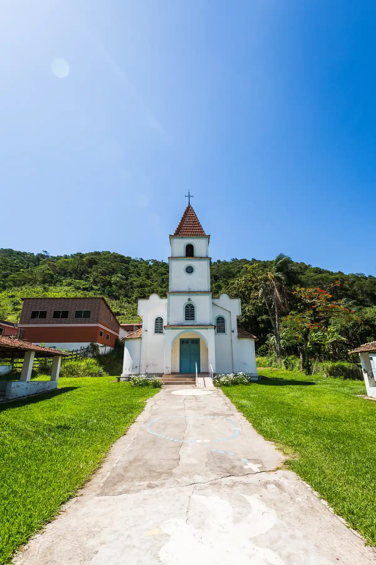
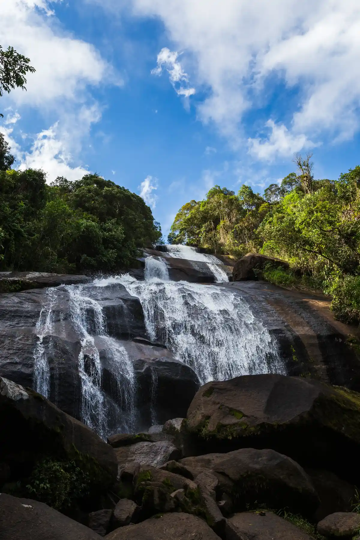
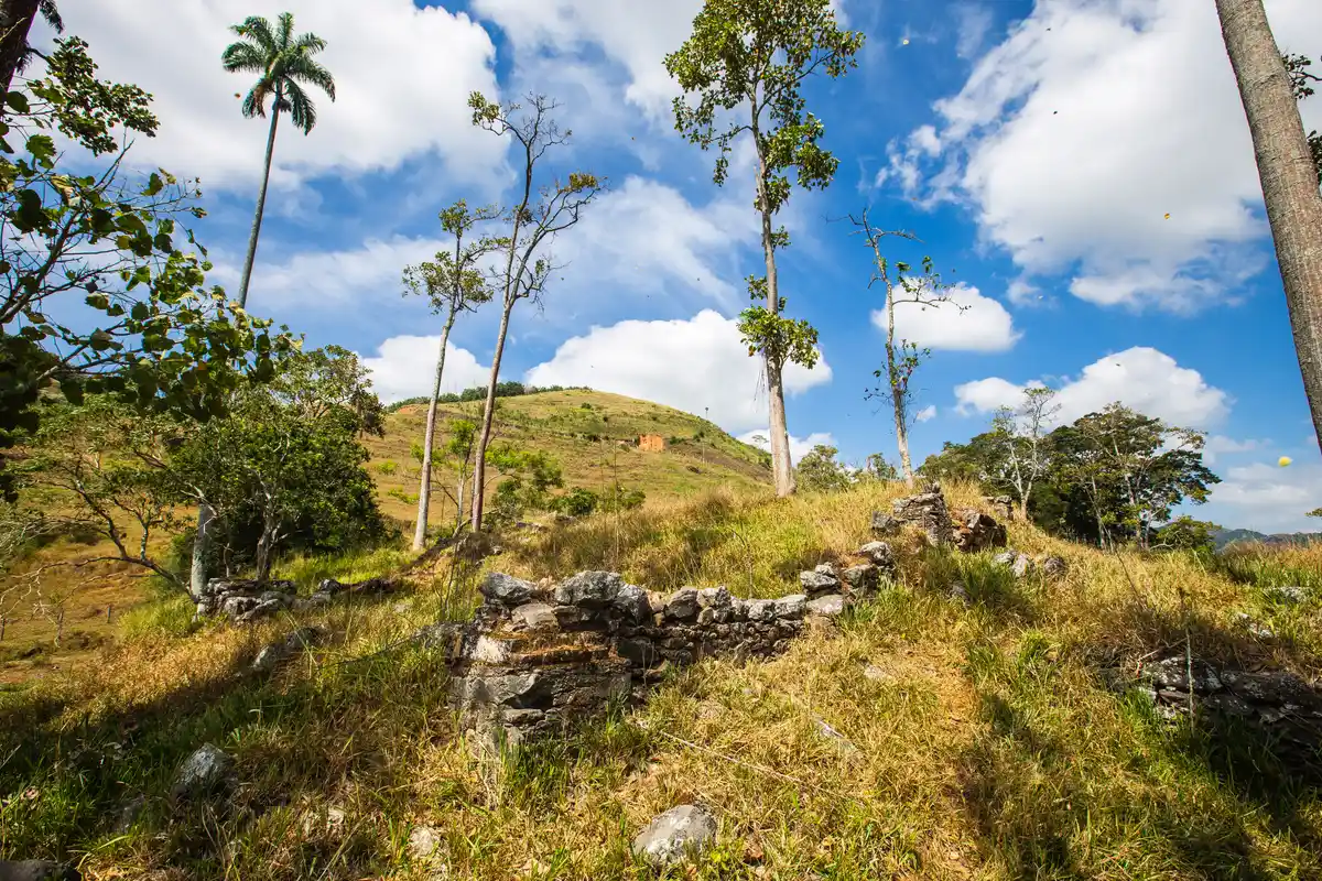
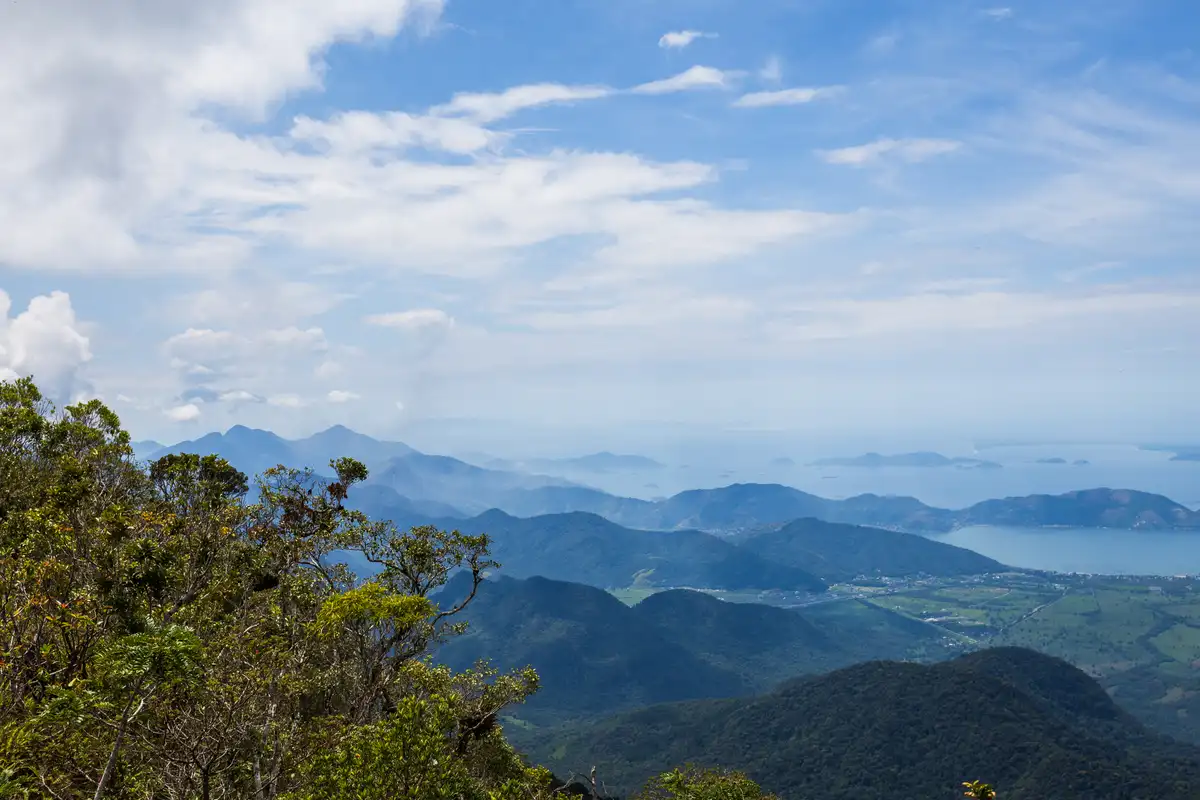
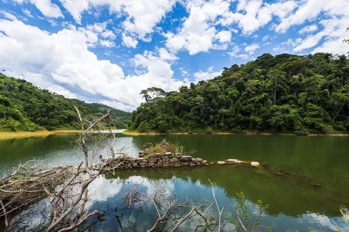
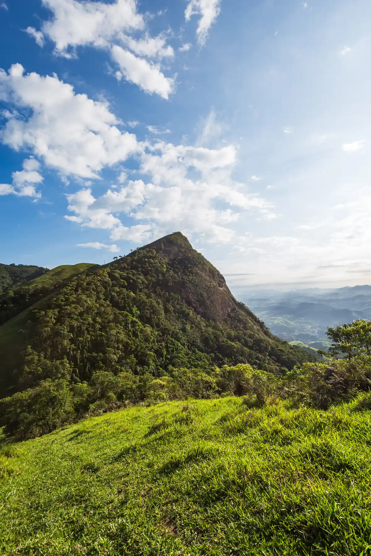
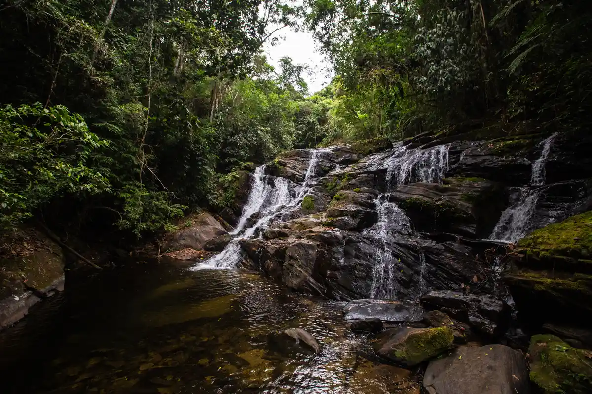
The Rio Claro Water Loop is a long-distance multimodal trail that passes through all districts of the municipality of Rio Claro, connecting the Center to the regions of Lídice, Macundu, Passa Três, Fazenda da Grama, Getulândia, and Pouso Seco, traversing the hinterlands of Hortelãs, Prata, Róla, Sinfrônio, Itaoca, among others. Along the trail, hikers or riders encounter the wealth of water resources, historical, and cultural aspects of Rio Claro, discovering its waterfalls, the ruins of São João Marcos and Fazenda da Grama, old railways, various natural viewpoints, the famous Ribeirão das Lajes Reservoir, a rich avifauna, and much more. With 10 mapped sections and 5 already implemented, the Rio Claro Water Loop invites you to this memorable experience!
Map
What the trail offers
 Archaeological Site
 Visitor Center
 Exhibition
 Reservoir
 River
 Historic Building
 Lake
 Flora
 Ruins
 Peak
 Avifauna
 Viewpoints
 Farm
 Fauna
 Ranch
 Squares
 Waterfall
 Mountain Range
 Community Tourism
What to see on the trail

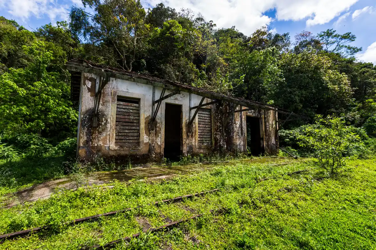
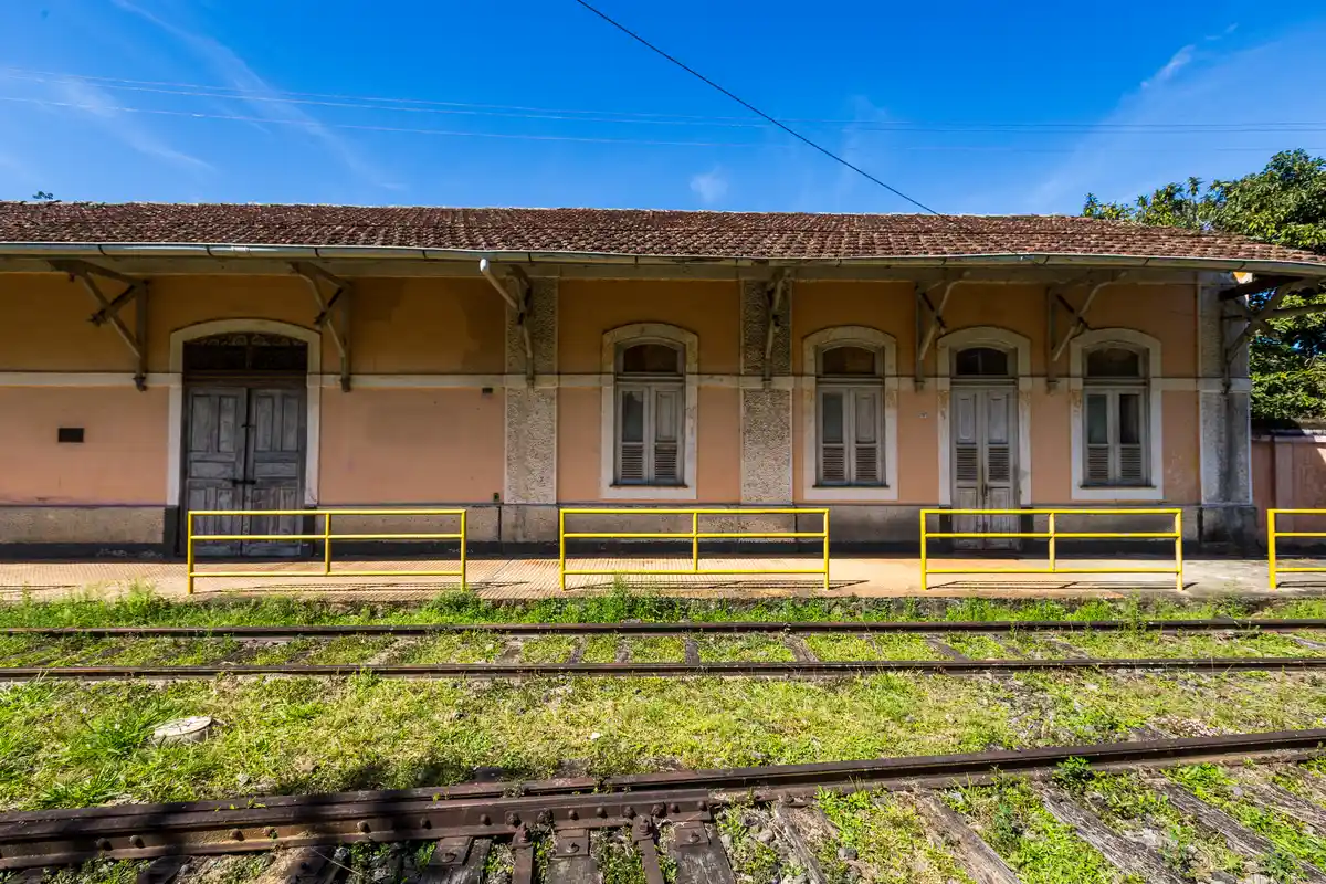
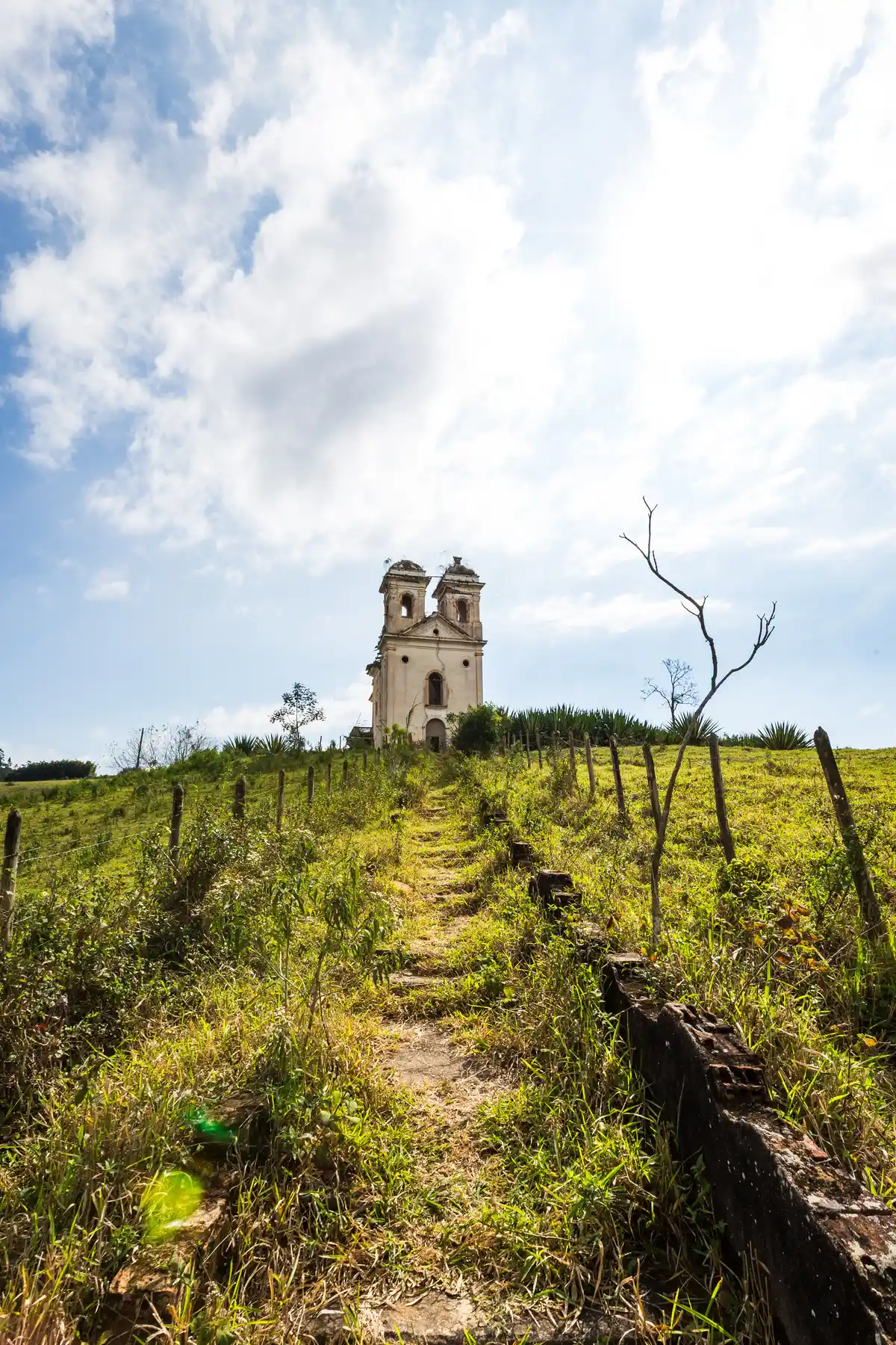
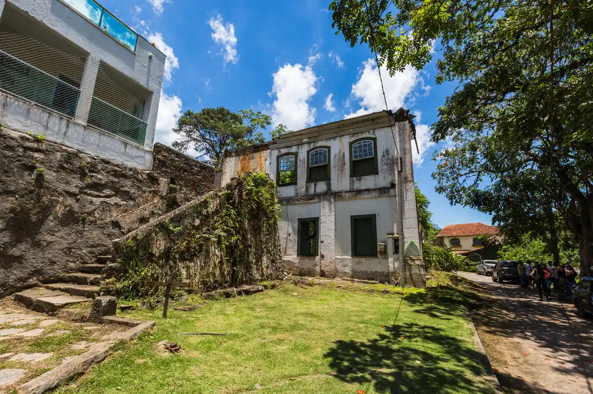
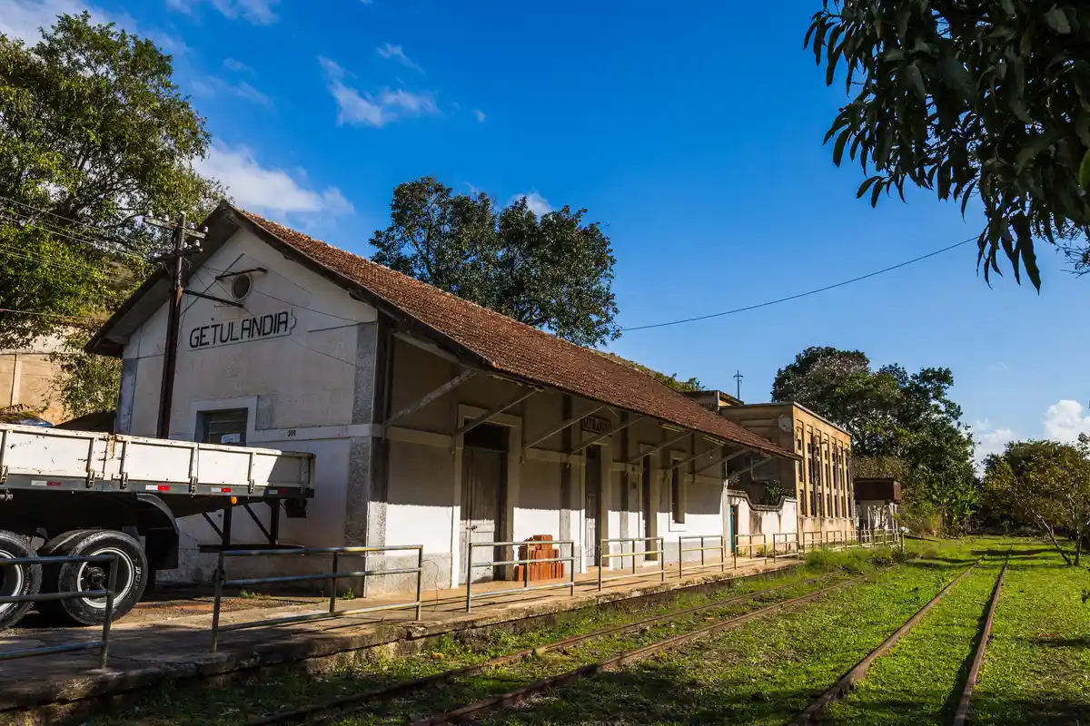

Discover the segments of Volta das Águas de Rio Claro (Caminhada | Cavalgada)
 Circuito Bálsamo de Cavalgada
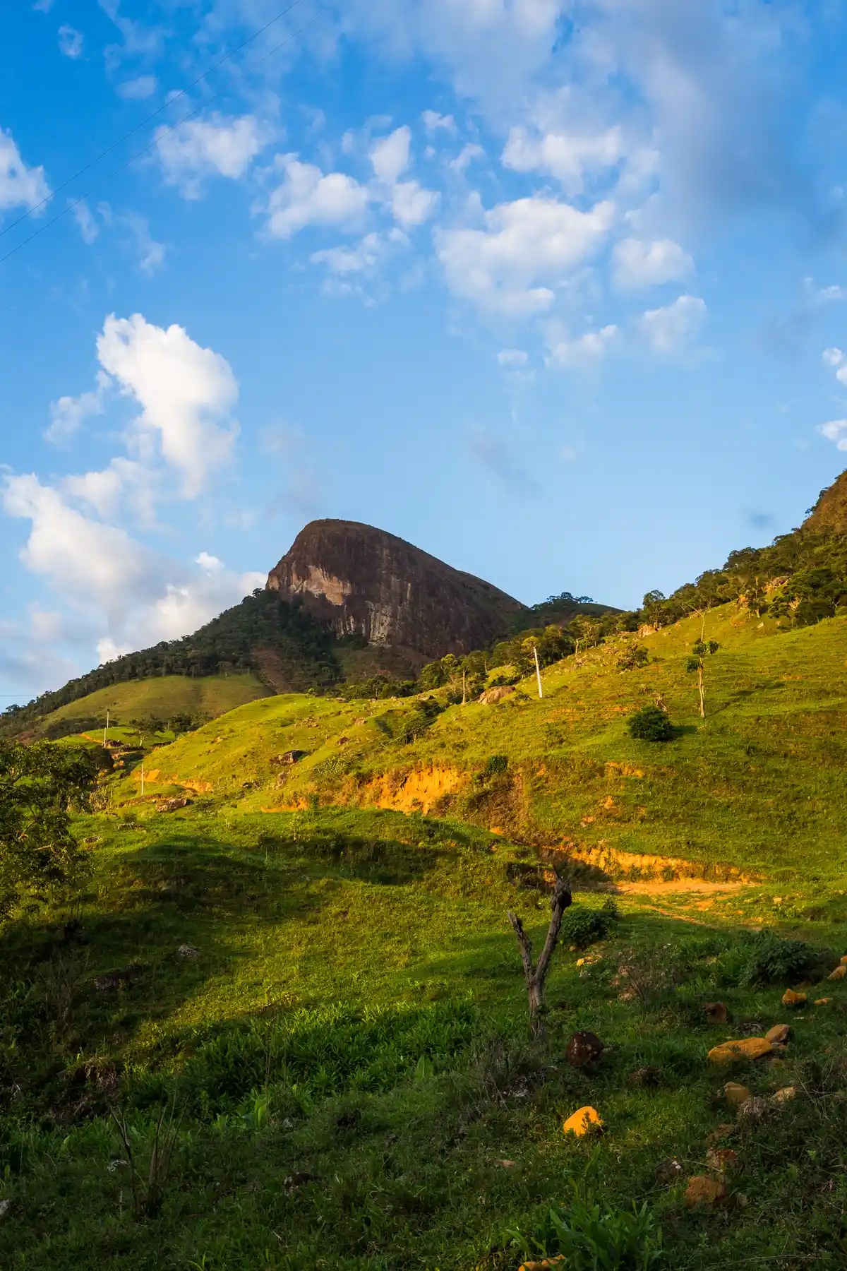 Trecho 01 - Rio Claro x Sertão da Prata (Caminhada - Cavalgada | Volta das Águas de Rio Claro)
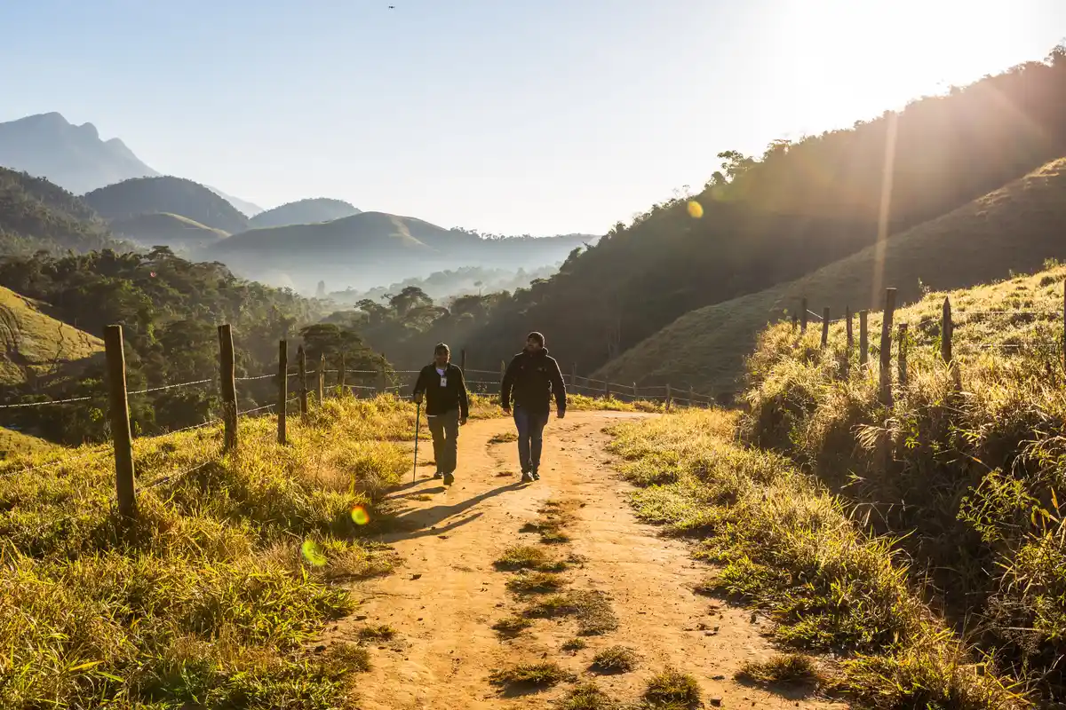 Trecho 02 - Sertão da Prata x Estação de Lídice (Caminhada - Cavalgada | Volta das Águas de Rio Claro)
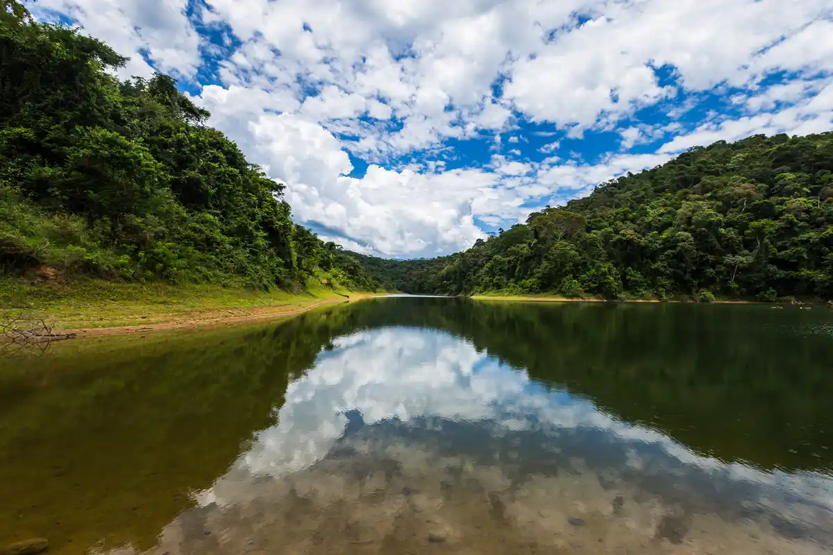 Trecho 05 - Macundu x Parque Arqueológico e Ambiental de São João Marcos (Caminhada - Cavalgada | Volta das Águas de Rio Claro)
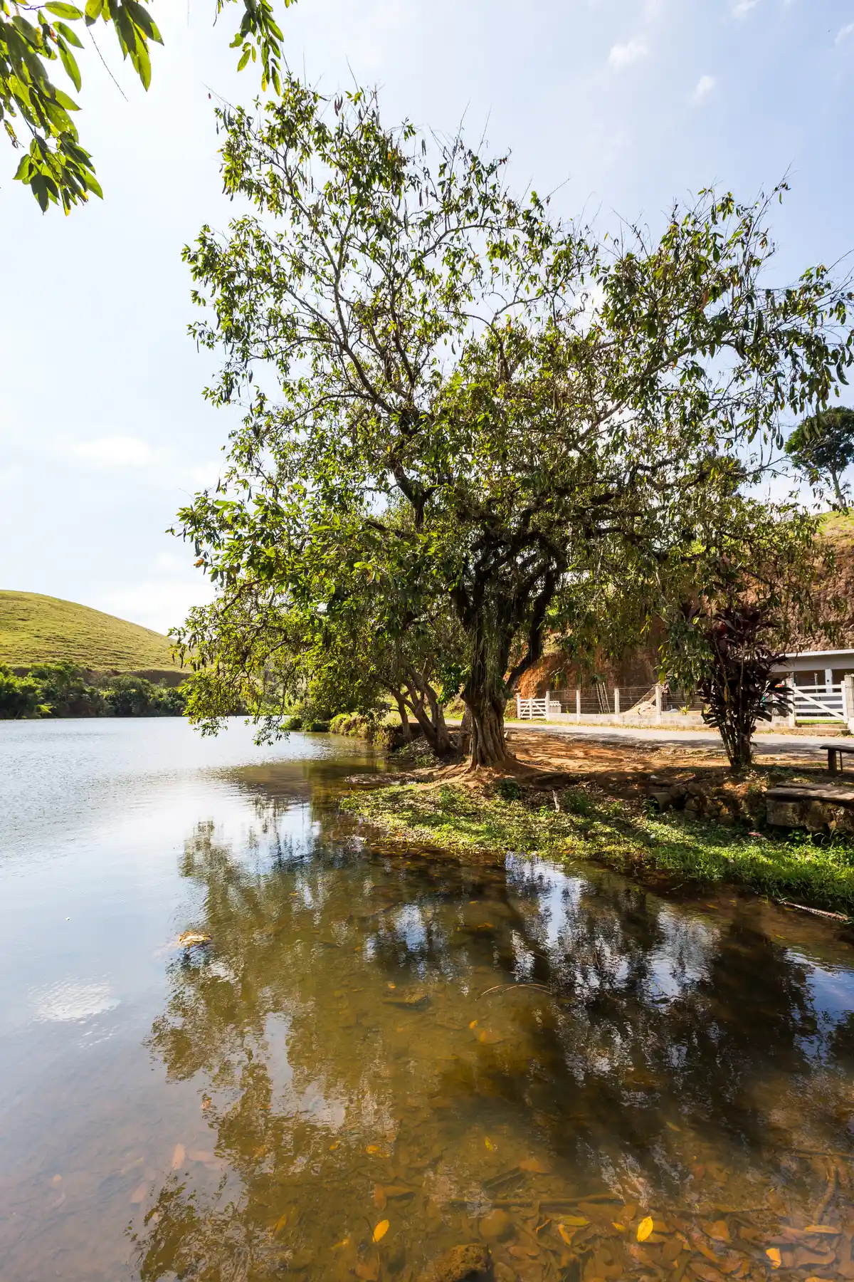 Trecho 08 - Passa Três x Fazenda da Grama (Caminhada - Cavalgada | Volta das Águas de Rio Claro)
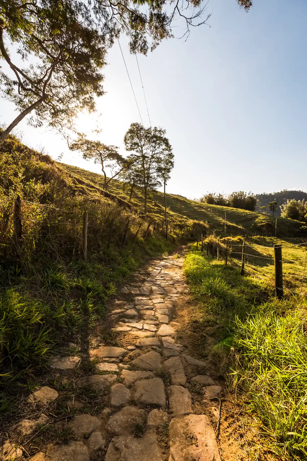 Trecho 10 - Pouso Sêco x Rio Claro (Caminhada - Cavalgada | Volta das Águas de Rio Claro)
Protected Areas where the Trail passes through
 World Natural Heritage Comunidade Quilombola do Alto da Serra do Mar
 Parque Arqueológico e Ambiental de São João Marcos
 Parque Estadual Cunhambebe
Reviews
We don't have any reviews for this trail yet. Be the first to share your experience! Click the button below and leave your review.