Rota Cabista (Caminhada)
Description
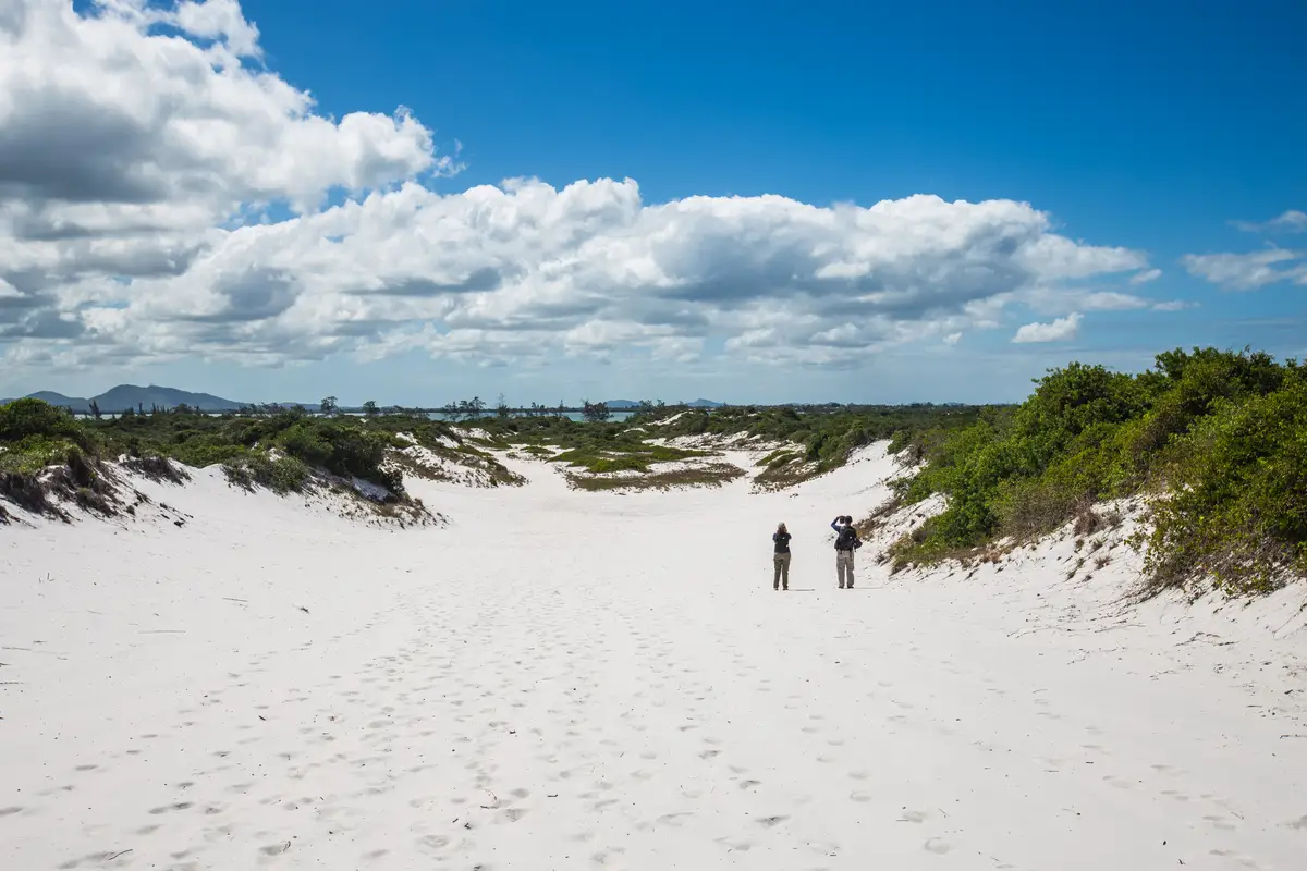
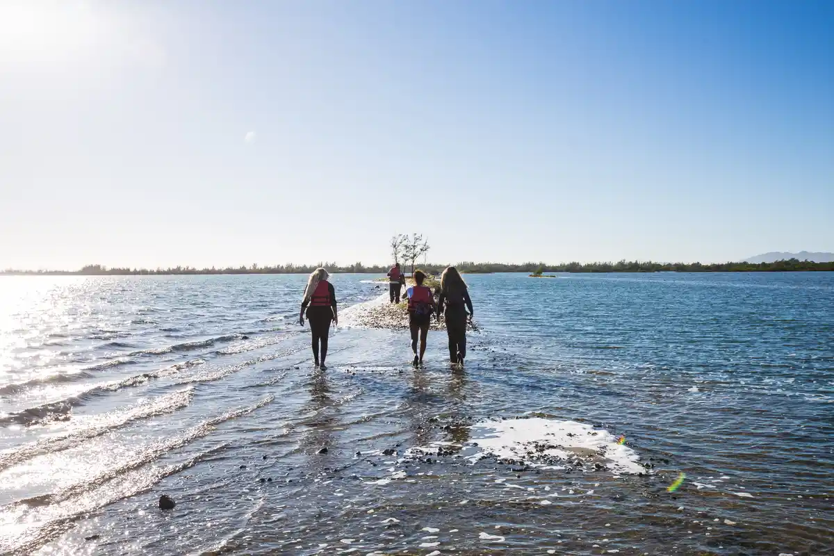
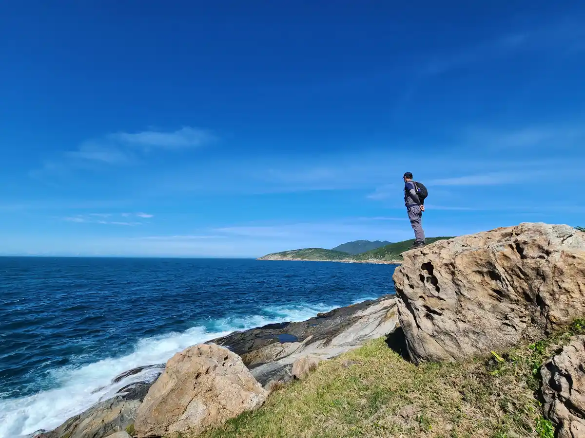
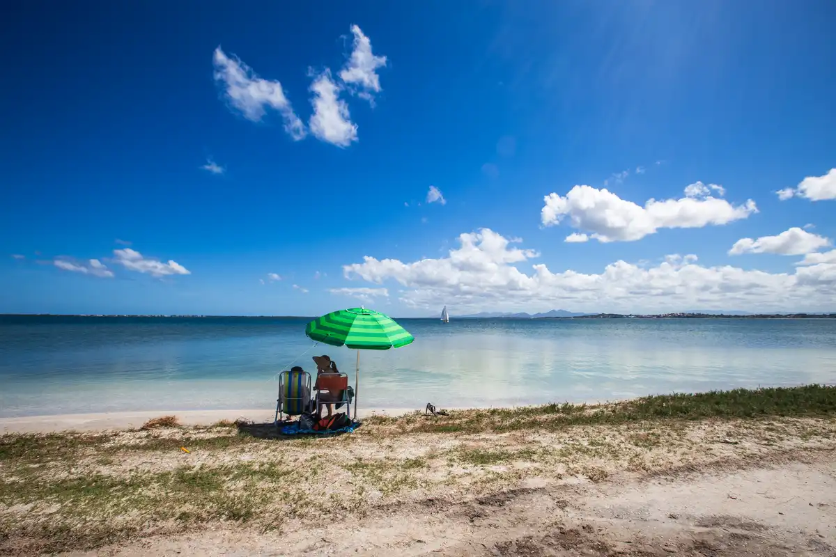
The Cabista Route is a Long-Distance Trail that crosses Arraial do Cabo, a paradise municipality in the Fluminense Lakes Region. Divided into nine sections, the Cabista Route encompasses about 82 km of paths for hiking and 76 km for bike touring. This Long-Distance Trail was developed to connect the four districts of Arraial do Cabo: Figueira, Caiçara, Monte Alto, and Pernambuca, to the urban area of the city. Additionally, the Cabista Route connects with the trails of neighboring municipalities Araruama and Cabo Frio, thus integrating the Volta ao Rio initiative, a circular Long-Distance Trail aimed at traversing the entire state of Rio de Janeiro. The route takes visitors through various coastal ecosystems, including mangroves, restinga, wetlands, dunes, maritime and lagoon beaches, rocky shores, and forest fragments. Along the way, there is an abundant presence of birdlife, as well as native fauna and flora species of the region, such as the sand lizard, the white-headed cactus, the beach butterfly, and some endemic orchids. The Cabista Route passes through both well-known attractions and lesser-known spots in Arraial do Cabo, such as the Araruama Lagoon, Ponta das Coroinhas, Acaíra, Paraíso, and Cabeça, the lagoon beaches of Pneu, Caiçara, Borba, and Monte Alto, Ilha do Amor, the beaches Grande, Brava, do Forno, dos Anjos, Secreta, and do Pontal, the viewpoints of Baleia and Cabocla, Boqueirão, Prainhas do Pontal do Atalaia, Prainha, Pedra do Rato, Lagoa de Sal, and the hills of Caixão do Miranda.
Guidelines Extension: 81.8 Km
 Difficulty Moderate
 Orientation Moderate
 Signaling Level NonExistent
 Conservation Bad
 Risk Exposure Medium
 Sun Exposure High
 Hydration Point Unavailable
 Climbing No climbing required
 Minimum Altitude: -1m Maximum Altitude: 169m
 Negative Unevenness: 1594m
 Positive Unevenness: 1626m
Map
Guidelines
Extension: 81.8 KmDifficulty: ModerateOrientation: ModerateSignaling Level: NonExistentMinimum Altitude: -1m Maximum Altitude: 169m Negative Unevenness: 1594m Positive Unevenness: 1626m 