Caminho pro Interior
Description
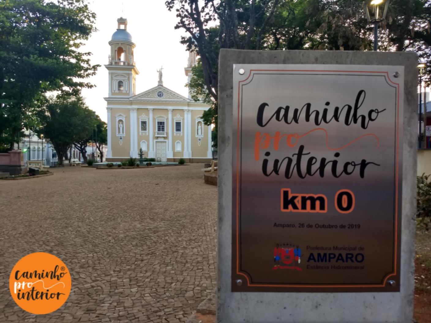
It is a set of rural roads amidst the nature of the Circuito das Águas Paulista and Sul de Minas region, connecting 20 municipalities and 5 districts, forming a Tourist Route that traverses the Serra da Mantiqueira. It provides a transformative experience for individuals, families, or groups, leading to self-discovery, reflection, memory recovery, and the practice of physical, sports, ecological, and adventure activities. It can be traveled on foot, by bicycle, on horseback, or even by car. The construction of the Path to the Interior itinerary prioritized rural roads but also takes tourists into urban areas, as it ensures that each official landmark of the path is located next to the main church of the town.
Guidelines Extension: 522.4 Km
 Difficulty Hard
 Orientation Easy
 Signaling Level Partial
 Conservation Good
 Risk Exposure Low
 Sun Exposure High
 Hydration Point Available
 Climbing No climbing required
 Minimum Altitude: 584m Maximum Altitude: 1509m
 Negative Unevenness: 0m
 Positive Unevenness: 0m
Map
Guidelines
Extension: 522.4 KmDifficulty: HardOrientation: EasySignaling Level: PartialMinimum Altitude: 584m Maximum Altitude: 1509m Negative Unevenness: 0m Positive Unevenness: 0m 