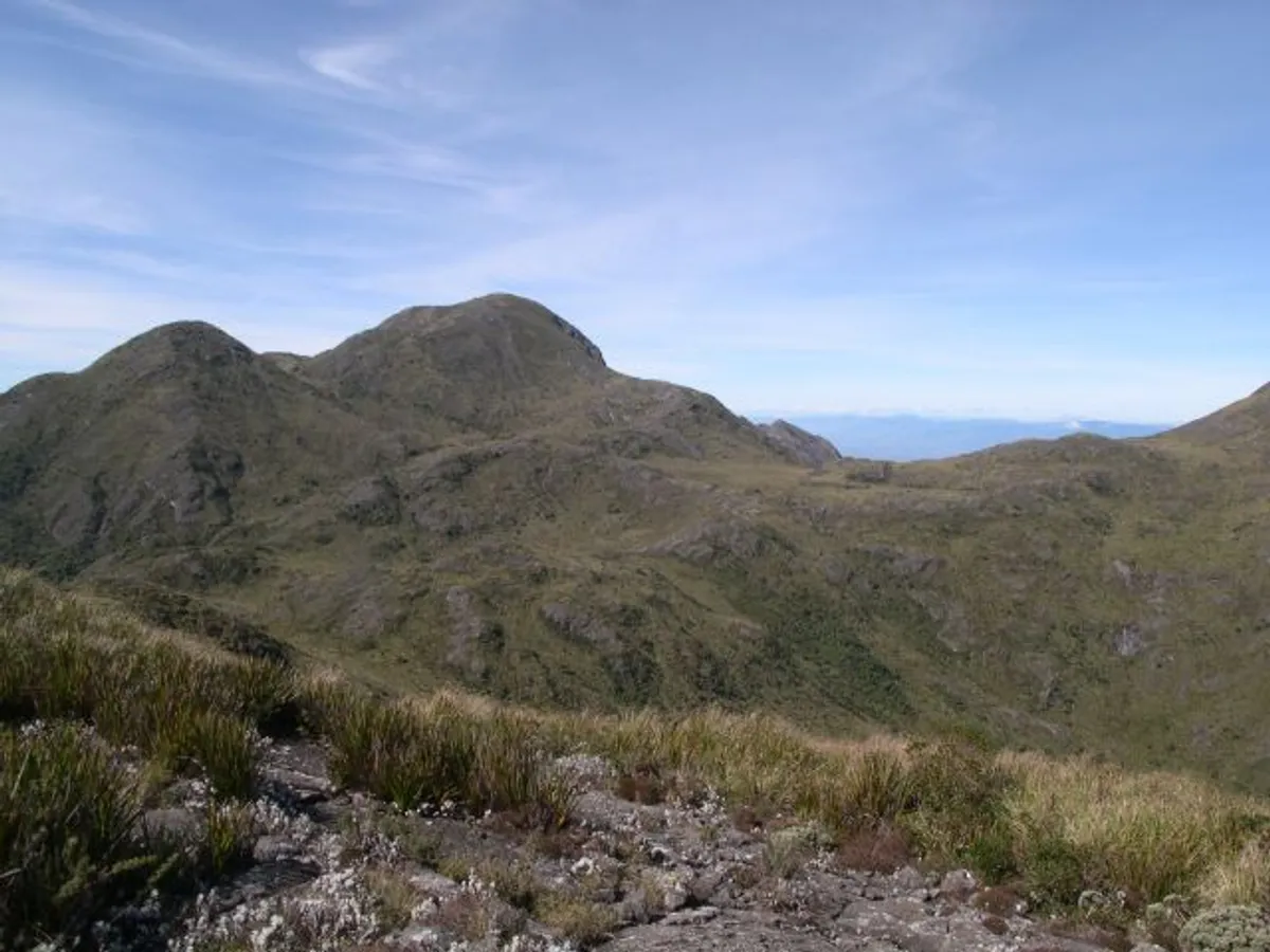
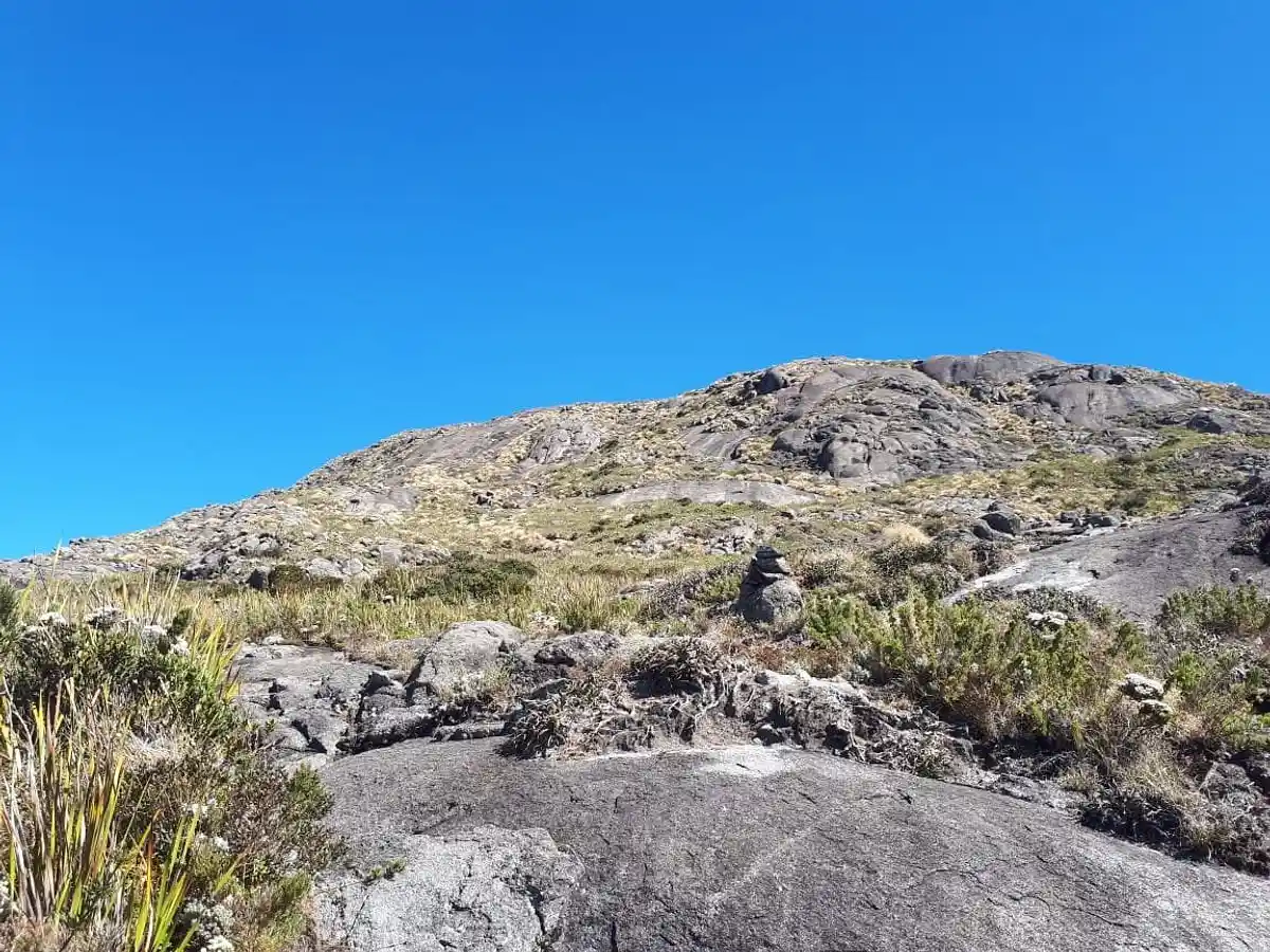
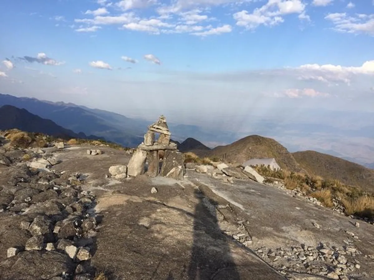
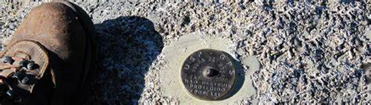
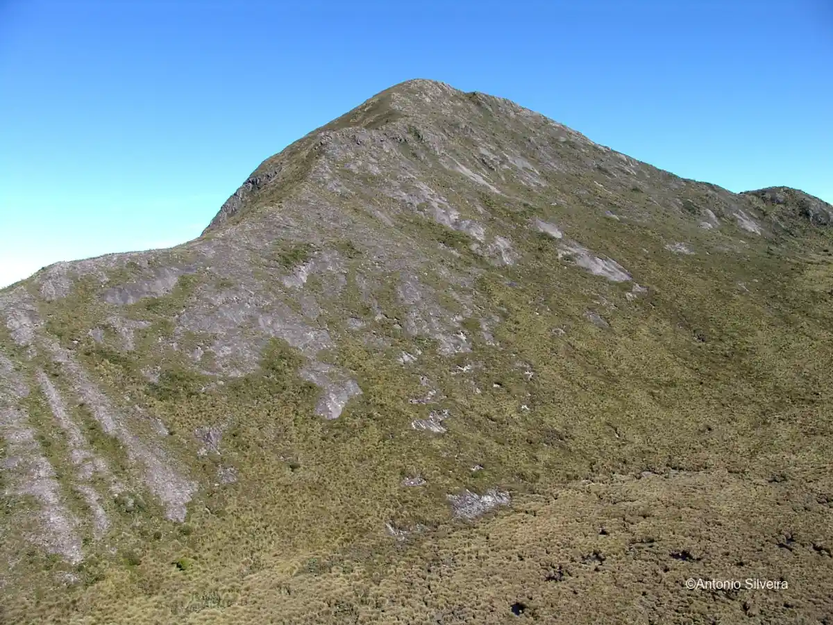
Pedra da Mina is officially the fourth-highest mountain in Brazil, at 2,798 meters above sea level. It is located in the Serra Fina, a section of the Serra da Mantiqueira, one of the most important mountain ranges in the country. Pedra da Mina lies on the border between the states of Minas Gerais and São Paulo, to its north and south respectively, and its summit forms the tripoint where the boundaries of the Minas Gerais municipality of Passa Quatro and the São Paulo municipalities of Lavrinhas and Queluz meet. The summit is also the highest point in the Serra da Mantiqueira and in the state of São Paulo, and the second-highest mountain in Minas Gerais.
Pedra da Mina also stands out for its curious history: despite its high elevation and its location relatively close to densely populated areas, the mountain was almost unknown until the early 21st century. Its exact elevation was also unknown, and its importance was not recognized until very recently, showing that even in the 21st century, geographic exploration can still hold surprises. In the case of Pedra da Mina, official statistics and school textbooks had to be corrected, and a new and popular mountaineering and ecotourism destination emerged.
The mountain's name (mina means "spring") comes from the fact that four small streams flow from the mountain near its top. Pedra da Mina is not located in any national or state park, but it is included in the Área de Proteção Ambiental Serra da Mantiqueira, and the São Paulo side of the mountain is part of the Reserva Particular do Patrimônio Natural - RPPN Pedra da Mina.
The climb to Pedra da Mina can be done via the Serra Fina traverse, starting from Passa Quatro or Itamonte, or via the trail through Paiolinho, a branch that gives direct access to and from Pedra da Mina, in Minas Gerais. Location of the Attraction