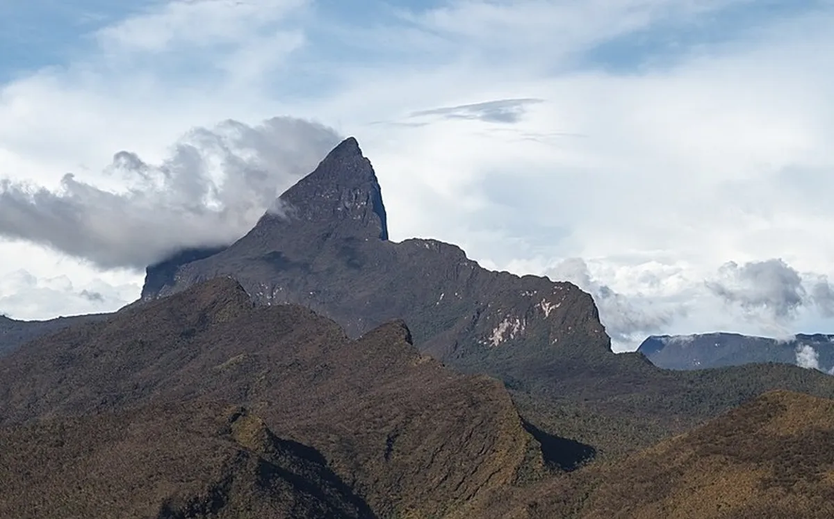
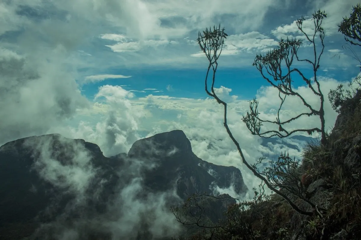
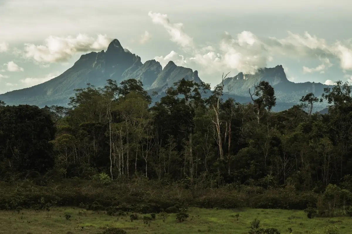
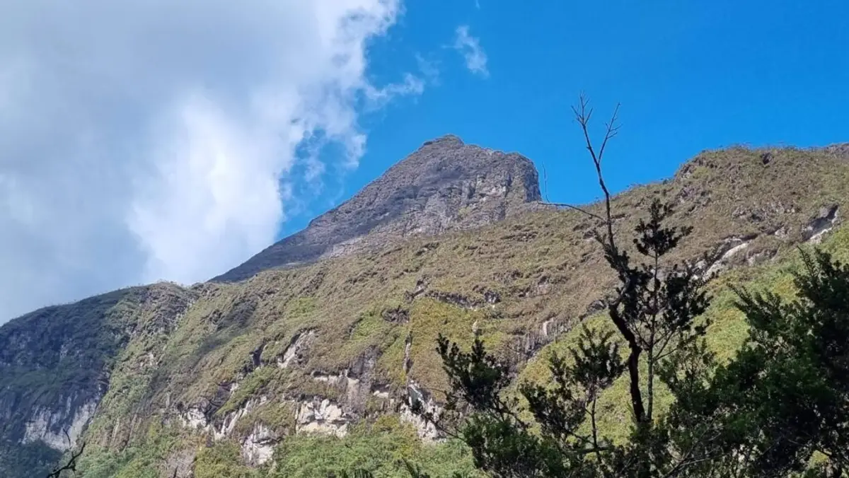
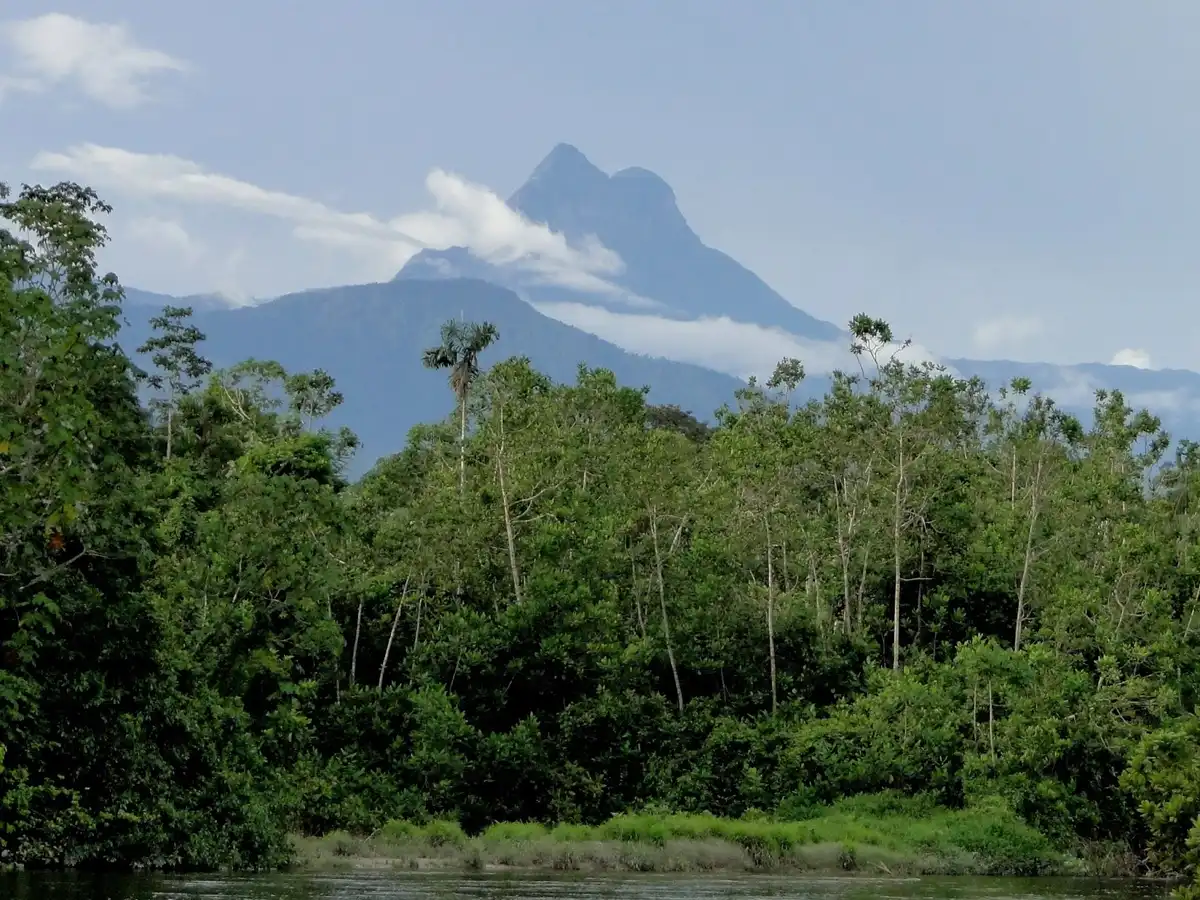
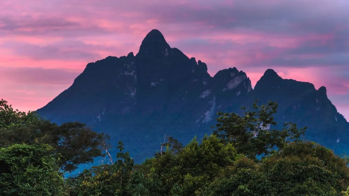
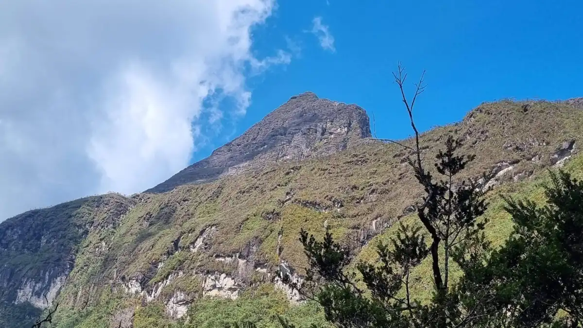
Pico da Neblina, located in the north of the state of Amazonas, in the Serra do Imeri, is the highest point in Brazil at 2,995.30 meters above sea level, according to 2016 data from the Instituto Brasileiro de Geografia e Estatística (IBGE). The peak's name comes from the fact that its summit is shrouded in fog (neblina) most of the time. The peak gives its name to Parque Nacional do Pico da Neblina, where it is located, in the municipality of Santa Isabel do Rio Negro, but the nearest urban area is São Gabriel da Cachoeira. Although the Pico da Neblina massif lies on the border with Venezuela and most of the massif is in that country, the main summit is entirely within Brazilian territory, 687 meters from the Venezuelan border at Pico 31 de Março, as determined by a boundary demarcation commission in 1962.
Besides being the highest point in Brazil, Pico da Neblina is the highest point of the Guiana Shield and also the highest point in South America east of the Andes, making it the highest point in much of the continent, with great topographic prominence.
To climb Pico da Neblina, you need authorization from the Instituto Chico Mendes de Conservação da Biodiversidade (ICMBio) and the Instituto Sócio Ambiental - ISA, with accredited guides/operators. All expeditions start in the town of São Gabriel da Cachoeira. From there, you travel up the Cauaburi River in voadeiras (fast aluminum boats with outboard motors) to the mouth of the Tucano igarapé (creek), where the hike begins, near the Yanomami village and Catholic mission of Maturacá. After four days of hiking, averaging 4 to 5 hours a day, you reach the highest point in Brazil. Pico da Neblina is within the following protected area